Heavy Rain, Flooding, and Chance of Severe Weather Staring Down the Southern U.S.
January 22, 2024
Posted: July 9, 2021 2:55 pm


Tropical Storm Elsa Forecast to Finally Weaken Over the Weekend
Days after making landfall in the US along the Gulf Coast of Florida, Tropical Storm Elsa just will not let it go.
As of mid-day Friday, Elsa was located just to the west-southwest of Montauk Point, New York. This put the storm about 110 miles west of Nantucket, Massachusetts. The storm was still packing maximum sustained winds of about 50 mph. Elsa is traveling at a fast clip of about 30 mph as it charges to the northeast. Tropical storm warnings are in effect from Long Island and up through New England.
It has been a wild ride for those in the path of Elsa. The storm made landfall Wednesday morning in Taylor County, bringing wind gusts as high as 78 mph to Southwest Florida as it approached land. Prior to wreaking havoc throughout Florida, the Southeast, and the mid-Atlantic, Elsa briefly reached hurricane status out in the Gulf of Mexico.

The New England coast will bear the brunt of the storm on Friday and into the early hours Saturday. Forecasters predict that Elsa will make yet another landfall in southern New England. Warm ocean waters and moist air along the southern New England coast may encourage a slight strengthening of Elsa prior to moving on to land again.
Elsa is forecast to finally peter out when it moves to the north and over the cooler waters east of New England in the region of Atlantic Canada. As it approaches Canada, Elsa will likely weaken to a non-tropical system.
Regardless of its intensity, Elsa is expected to bring up to 2 inches of rain along with winds in the 40 – 60 mph range to Nova Scotia, Newfoundland, and Prince Edward Island starting late Friday and continuing into Saturday. Elsa will eventually break up when it moves out into the Labrador Sea.
Elsa is going to bring heavy rainfall to some of the most populous cities of the East Coast including New York City and Boston. These cities need to be ready for continued heavy wind and strong winds as Elsa skirts the coast.
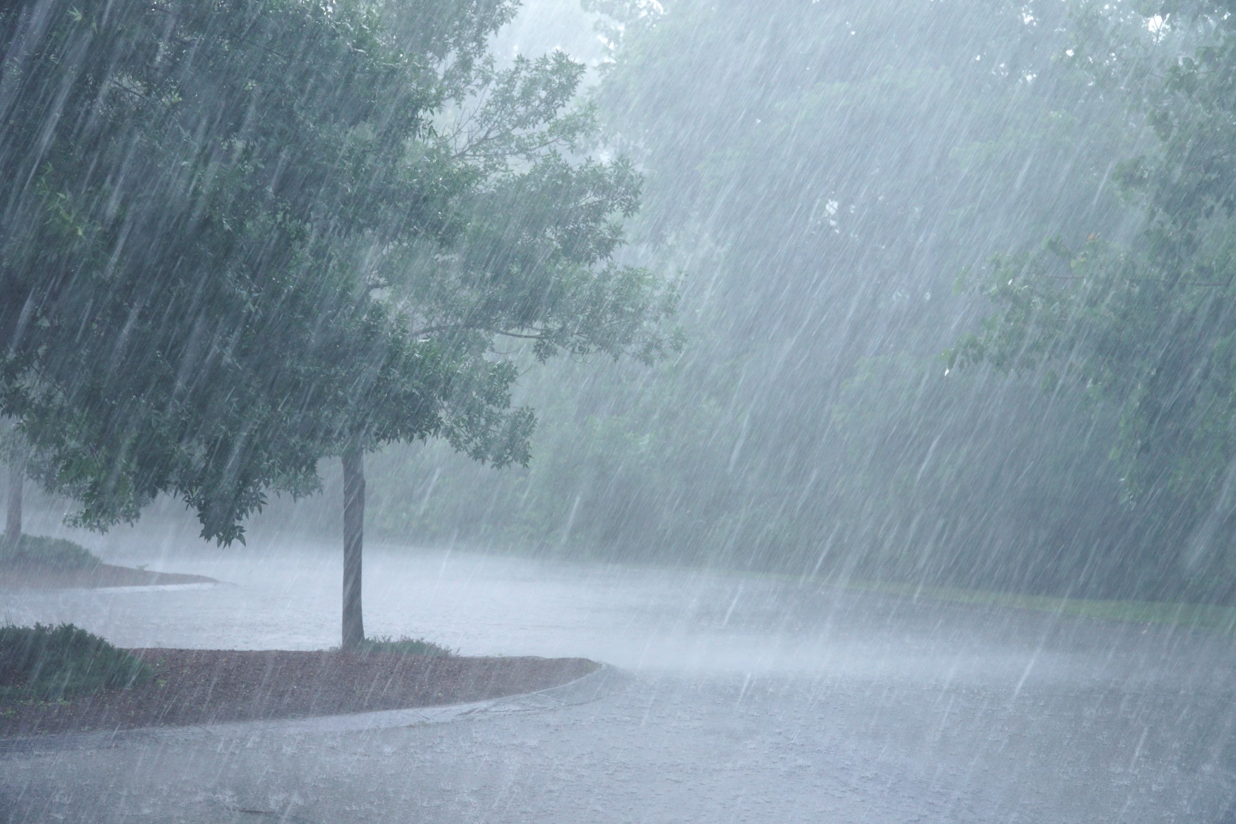
This rain will be heavy enough to bring a threat of flash flooding in areas with poor drainage. This threat of flash flooding will stretch along the Interstate 95 corridor from the mid-Atlantic up through New England. The rain from Elsa will reach about 100 miles inland with some coastal areas measuring up to 4 inches.
Although Elsa is a quickly moving storm that helps to limit the amount of rainfall an area may receive, the previously saturated grounds may contribute to the greater threat of flooding. New York City measured 2.27 inches of rain on Thursday evening, leading to numerous instances of street and subway flooding.
Farther to the north in Boston, the city has already seen over 5 inches of rain in July. This translates to over eight times the normal amount of rainfall for a one-week period. Because the soil is already so saturated, it will not take much rain from Elsa to trigger flooding in urban areas.
The strong winds generated by Elsa will continue to be a storyline for the next few days. Gusts of up to 60 mph are possible in coastal areas up through Maine. The areas that are most likely to see the strongest winds include the barrier islands of the eastern seaboard, including Long Island, Martha’s Vineyard, and Nantucket. The strongest winds are forecast to be to the east of Interstate 95.
Residents should be aware that the strong winds may cause minor property damage and lead to isolated power outages. There will also be an additional risk of sporadic thunderstorms and tornado outbreaks as the center of the storm pushes through.

January 21, 2024

January 19, 2024

January 18, 2024