Heavy Rain, Flooding, and Chance of Severe Weather Staring Down the Southern U.S.
January 22, 2024
Posted: September 25, 2023 9:10 am


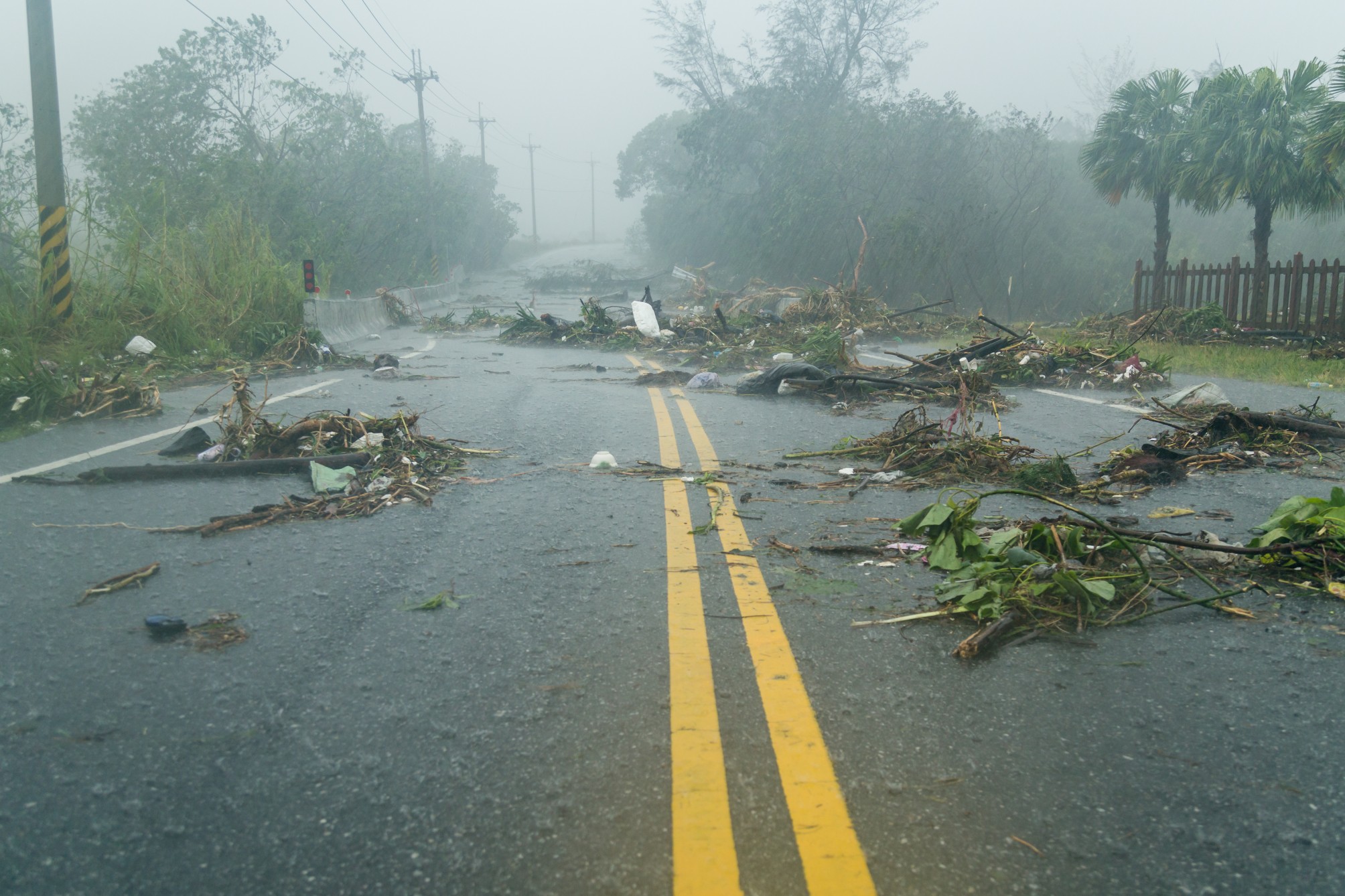
Tropical Storm Ophelia lived up to the hype, ushering in high winds, flooding, and power outages to a stretch of coastline from North Carolina up through New Jersey. Here is the latest on this homegrown system as well as how long you can expect it to stick around.
Ophelia made landfall as a potent tropical storm on Saturday at about 6:15 am EDT near Emerald Isle, North Carolina. As of mid-day Saturday, Ophelia was churning along the coast of North Carolina moving to the north at a speed of 13 mph. The storm was packing maximum sustained winds of 50 mph at this time.
The strongest wind gust recorded with Ophelia hit 72 mph at Cape Lookout, North Carolina. The storm knocked out power to over 80,000 customers shortly after moving onshore. The town of Washington, North Carolina was dealing with severe flooding, necessitating water rescues.
The coastline of the Carolinas began to see the impacts early Friday in the form of rough seas and windy conditions. Millions of Americans will be in the path of Ophelia throughout the weekend as the storm marches to the north right along the coastline.
Ophelia’s impacts will creep to the north of its eye in the coming days, washing out weekend plans entirely for many parts of the East Coast. The storm is forecast to slow down as it moves across the mid-Atlantic and up into the Northeast. As is typical, the weather maker will also lose wind intensity as it continues to chug along over land. However, its strong wind and mass amounts of moisture will linger into the beginning of the new week for some areas.
Many of the region’s waterways will be at risk of overflowing throughout the weekend, particularly during times of high tide. This risk will be the highest across North Carolina, Virginia, Maryland, and Delaware. Water increases of 3 – 6 feet above the normal levels during high tide will bring the threat of flooding in low-lying areas.
Farther to the north, the most significant impacts to the coastal region will be rough surf conditions. These impacts will land as far as Long Island, New York.
The moisture will also continue to track inland through Monday. As the storm slows its speed, the moisture will turn into a soaking and steady rain. A large swath of land stretching from South Carolina and up into Massachusetts could record an inch or more of rain. This rain will likely spread as far inland as the central Appalachians as the weekend continues.
The coastal areas will see between 2 and 4 inches of rain. This amount of moisture could impact many of the region’s most populated cities, including New York City, Philadelphia, Baltimore, and Washington, D.C. Southern New England will see slightly less moisture, however, it will still be an exceptionally wet weekend and beginning to the work week.
The heaviest rain will fall near the center of the storm as it marches up the coast. The low-lying regions of North Carolina, Delaware, Virginia, Maryland, and southern New Jersey could see rainfall up to 8 inches by the time the storm wraps up.
Strong winds will also continue to be a concern this weekend. Localized power outages and downed trees could impact the coastal communities through early week. These risks will be heightened due to the amount of rain that preceded the winds, making trees more susceptible to falling because the grounds are saturated.
The winds may also disrupt travel plans. Be sure to check with your airline if you have a flight scheduled this weekend. These delays could be a factor heading into Monday as business travelers take to the skies.
The rain may linger through Monday in places such as New York City and Boston. It will also be a cool start to the week as the cloud cover keeps the mercury suppressed.
Looking ahead to the rest of the week, you can count on drying conditions on Tuesday and Wednesday. This will be good news for communities that will still be cleaning up from Ophelia’s wrath. However, temperatures will remain below the normal readings for this time of the year across the mid-Atlantic and the Northeast. Gusty winds throughout the week will contribute to these lower than average temperatures.
Did you find this content useful? Feel free to bookmark or to post to your timeline for reference later.

January 21, 2024

January 19, 2024

January 18, 2024