Heavy Rain, Flooding, and Chance of Severe Weather Staring Down the Southern U.S.
January 22, 2024
Posted: September 29, 2023 10:36 am


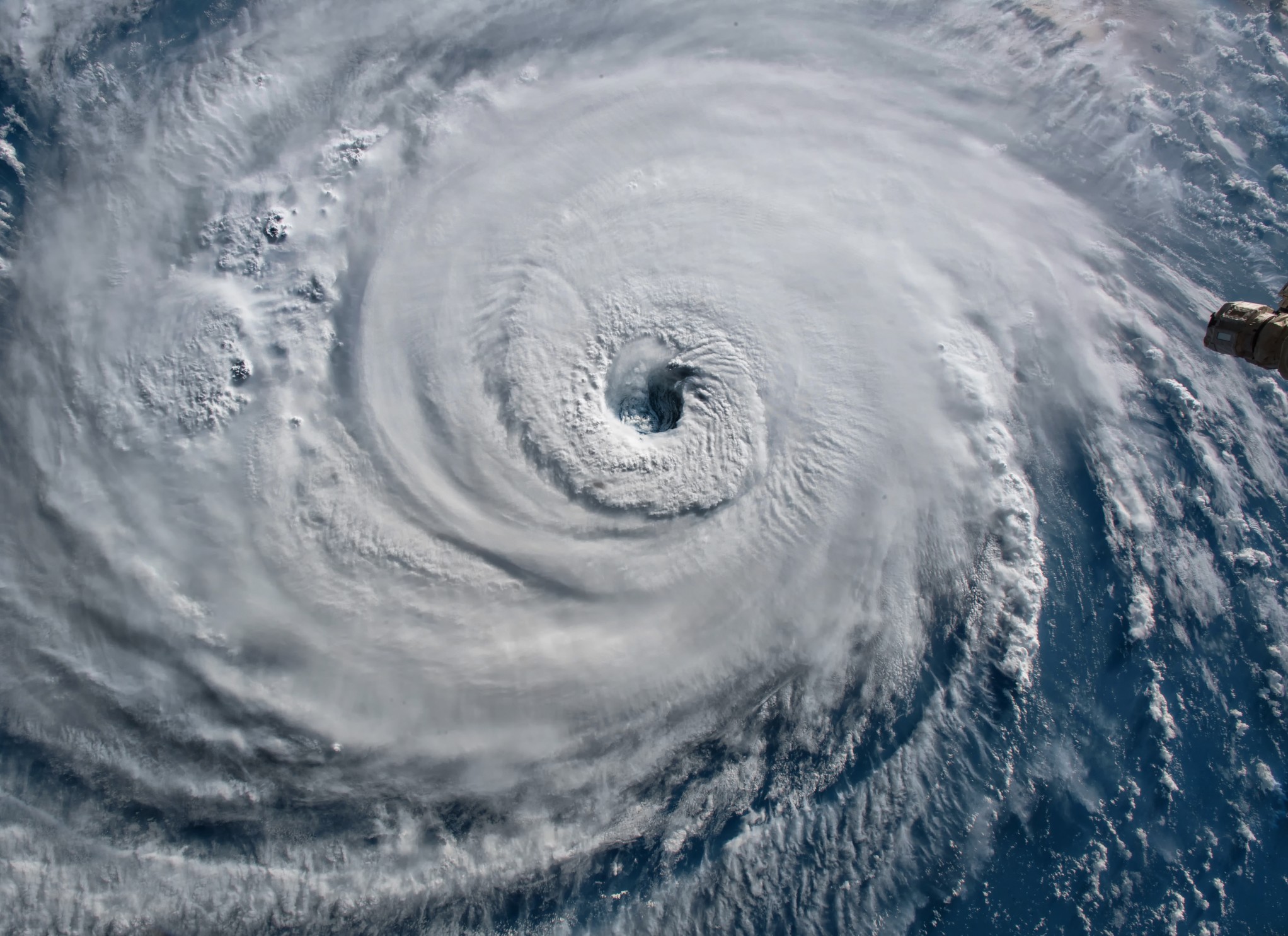
The tropics are still brimming with activity heading into the first week of October. Just as Tropical Storm Philippe has changed directions to bring greater threats to land, Tropical Storm Rina has formed in the central portions of the Atlantic. Here is the latest news on both of these features.
Northern Caribbean Braces for Impacts from Tropical Storm Philippe
As of mid-day Thursday, Tropical Storm Philippe is still on a course to bring impacts to the northern Caribbean in the coming days. This is a change from the forecast earlier in the week that showed that Philippe was unlikely to affect any major land masses.
A shift in the structure of the storm due to wind shear is to blame for the change in track. These strong wind forces took off the top part of the storm and sent it to the northeast, allowing the bottom portion of Philippe to move in a more westerly direction and into a more populated area of the Caribbean.
While the wind shear is moving Philippe closer to land, these forces are also mitigating how strong the feature will become. It is unlikely that the tropical storm intensifies into hurricane strength because of the work of this wind shear breaking it apart. In fact, it is more likely that Philippe may be downgraded to a tropical depression or rainstorm soon.
Despite this expected weakening in the near future, Philippe will still bring some degree of impacts to the northern Caribbean and Puerto Rico over the next few days. These impacts will come in the form of heavy rain, strong winds, and rough seas. Travel disruptions will also be a concern heading into the weekend.
The moisture associated with Philippe will likely be enough to raise concerns of flash flooding throughout the region. The mountainous terrains of Puerto Rico will be particularly susceptible to flooding and mudslides. The slow movement of Philippe will also raise the risk of flooding.
Tropical Storm Rina Joins Philippe
A new tropical storm that just formed to the east of Philippe could move fast enough to merge with the existing feature. Tropical Storm Rina formed Thursday mid-day, packing maximum sustained winds of 40 mph. As of late Thursday morning, Rina was churning about 1190 miles to the east of the Northern Leeward Islands.
Rina is moving to the north-northwest at a speed of 10 mph. However, the storm is predicted to shift to a westerly track late Thursday or Friday as it picks up steam in the warm waters of this part of the Atlantic basin.
Forecasters have been eyeing this feature for days as a robust tropical wave moved off the coast of Africa. The storm could skirt past the Leeward Islands early next week, bringing rough surf conditions and torrential rain.
With Rina and Philippe tracking so close together, it becomes more difficult to predict how the individual systems will behave and if they will influence each other. There is the chance that one feature may absorb the other.
Rina is likely to take a similar track as Philippe due to the persistent trade winds in this part of the Atlantic. This is why forecasters are so certain that Rina will make a turn to the west shortly, just as Philippe did at this point of its development.
It is not unusual for wind shear to increase in this part of the Atlantic heading into October. This is why tropical weather development tends to be suppressed later in the season when compared to the peak of the season. The wild card this year is the exceptionally warm ocean waters surrounding the U.S. These temperatures could be enough to overcome the mitigating wind shear to support tropical development and strengthening.
The tropical Pacific is also in the midst of the start of an El Niño pattern. This pattern generally translates to greater amounts of wind shear, helping to suppress tropical development. Regardless, you will want to keep an eye on both Philippe and Rina in the coming days if you have interests in the Caribbean and beyond.
Did you find this content useful? Feel free to bookmark or to post to your timeline for reference later.

January 21, 2024

January 19, 2024

January 18, 2024