
Heavy Rain, Flooding, and Chance of Severe Weather Staring Down the Southern U.S.
January 22, 2024
Posted: October 19, 2023 8:18 am


Tropical Storm Tammy officially formed over the central Atlantic on Wednesday evening, just as forecasters with the National Hurricane Center (NHC) had been predicting for days. What kind of impacts will this storm bring and who will experience its wrath? Read on for the latest information from the forecast models.
Tropical Storm Tammy Details
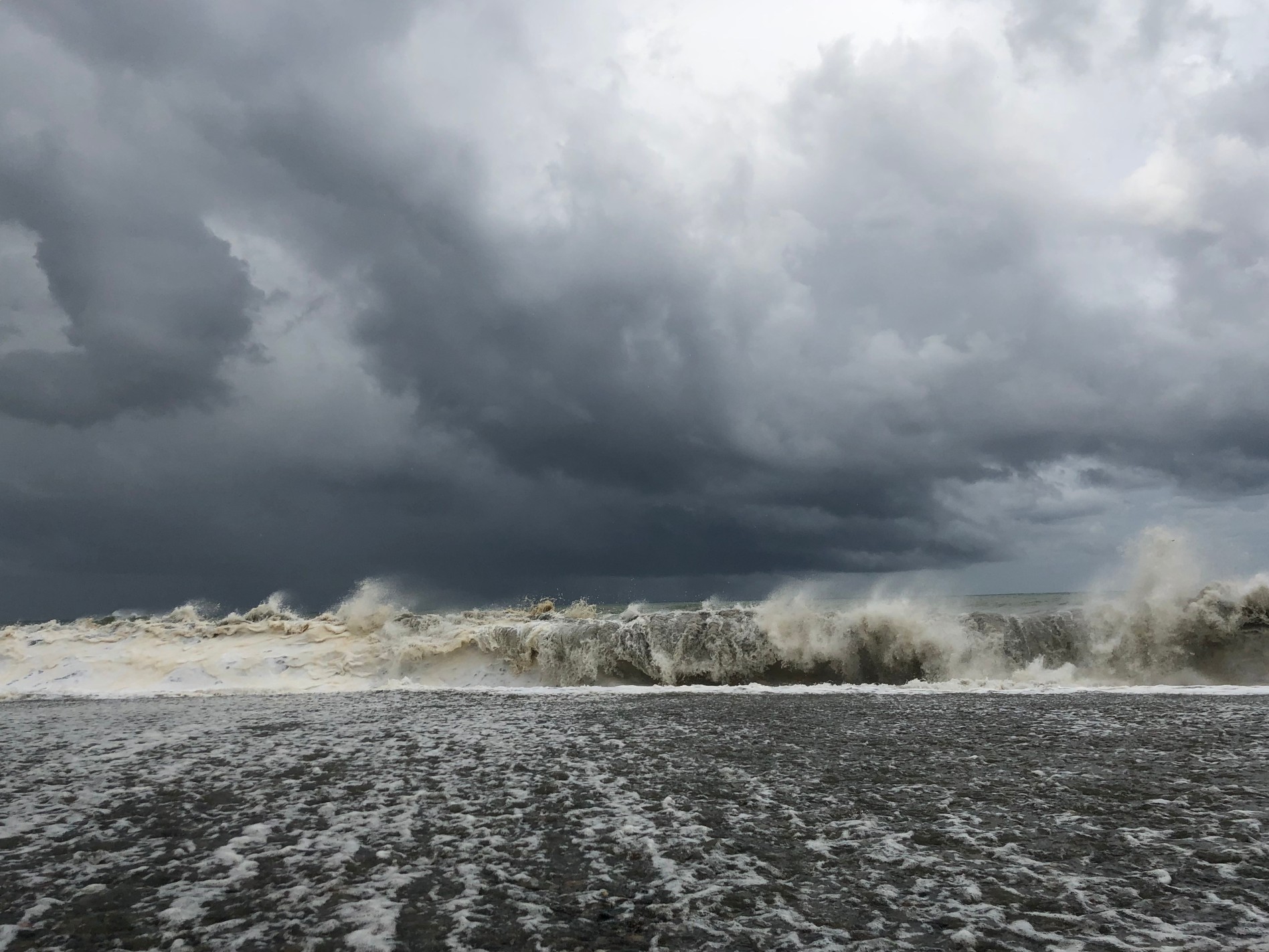
Forecasters are predicting that Tropical Storm Tammy will deliver torrential rainfall and gusty winds to the northeastern Caribbean in the coming days, creating the risk of flash flooding and mudslides. Tammy is now the 19th named storm of the 2023 Atlantic season, a season that is pacing well above the average number of 14 named features.
The current tracking models indicate that Tammy is likely to bring some degree of impacts to much of the northeastern Caribbean before taking a turn to the north and into the open waters of the Atlantic. This course would take the feature well to the east of Bermuda.
Hurricane experts have been watching this zone of development for days, giving it a high chance of turning into a tropical storm. By Wednesday morning, the NHC had designated the system as a tropical rainstorm in an effort to raise alert levels to those in its path.
As of late Wednesday, Tammy was featuring maximum sustained winds of 40 mph as it churned about 1,000 miles east of the Windward Islands. The storm was traveling at a fast clip to the west, moving at 23 mph.
What is Next for Tammy’s Journey Through the Atlantic?
Tammy is forecast to remain organized and intact as it moves through the central Atlantic. The current environmental conditions are conducive to supporting this system with well-defined tropical characteristics.
The steering winds in this part of the Atlantic will continue to push Tammy in a westerly direction, similar to the path that Tropical Storm Sean took last week. An area of high pressure building over the northern Atlantic is forecast to change the steering winds across the Atlantic, directing Tammy to the north as it inches closer to the Leeward Island this weekend. The feature could also skirt a bit to the east by early next week, taking it away from land.
Because Tammy is spinning farther south than its predecessor Sean, it is predicted to bring significant impacts to the eastern Caribbean. This differs from Sean, a storm that remained in the open waters.
What kind of impacts can the northeastern Caribbean expect? Heavy rain, strong winds, flash flooding, and mudslides are all possibilities across much of the Leeward Islands. The greatest risk of these impacts will be on Friday and Saturday with some effects hanging on through Sunday.
Winds in the range of 40 – 60 mph are in the forecast for the Leeward Islands. These winds will raise the risk of power outages and minor structural damage. The maximum gusts could approach hurricane-force winds at times.
Unless the course changes significantly in the coming days, Tropical Storm Tammy is not expected to impact the U.S.
Comparing the Atlantic Basin to the East Pacific Ocean
It has been another active tropical weather season for the Atlantic basin. This basin is running ahead of the East Pacific for named storms, an unusual occurrence during an El Niño climate pattern.
With the development of Tammy, the Atlantic has birthed three more storms than the Pacific. This number includes both named features, unnamed storms, and subtropical storms.
The onset of El Niño would have typically led to a different outcome. This is because this pattern generally leads to more tropical activity spinning in the eastern portion of the Pacific due to the exceptionally warm ocean waters during this phase. An El Niño pattern also typically mitigates tropical development in the Atlantic basin thanks to the presence of increased wind shear.
Did you find this content useful? Feel free to bookmark or to post to your timeline for reference later.

January 21, 2024

January 19, 2024

January 18, 2024
