Heavy Rain, Flooding, and Chance of Severe Weather Staring Down the Southern U.S.
January 22, 2024
Posted: May 27, 2023 9:30 am


Torrential rain, strong winds, and a number of coastal dangers will be the story for the Southeast this holiday weekend as a massive storm moves onshore from the Atlantic Ocean, calling outdoor plans into question as Americans commemorate the unofficial start to summer.
Although time is running out, forecasters are warning that the storm still has a chance to take on tropical or subtropical characteristics before it roars onto land.
The rain will move to the northeast from parts of Georgia, up into the Carolinas, and across Virginia to start the long weekend. While the worst of the rain and wind will spin up along the coastal areas, the raw conditions will expand inland and eventually reach the southern Appalachians.
You can expect a general 1 – 4 inches of rain in the Carolinas with the most moisture dropping along the coast. Although the rain will be heavy and disruptive in nature, this part of the country is in need of the moisture. Forecasters are also cautioning that the strong winds will likely create sporadic power outages.
Gusts of up to 50 mph will be widespread across the coast. Winds will hit between 30 and 40 mph in interior portions of the Carolinas throughout the day and night Saturday before they finally die down on Sunday. Gusts of this magnitude will have the power to break off small tree limbs and send some patio furniture into the air.
There is also a good chance of minor coastal flooding during times of high tide on Saturday and Sunday. This will be particularly true for the barrier islands in the Southeast. Low-lying roads on these islands may be subject to flooding as the water rushes in.
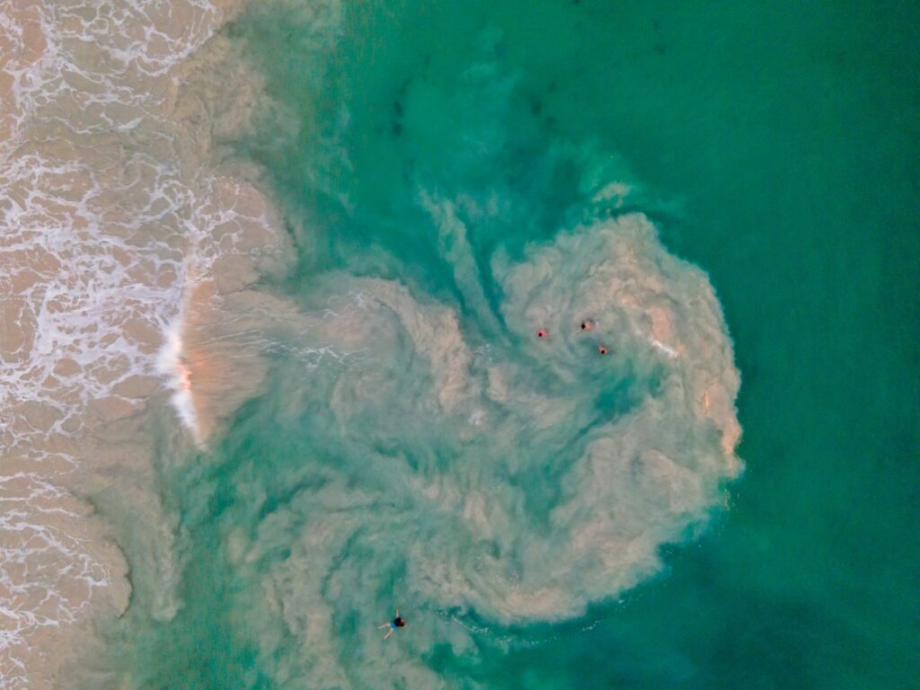
The coastal winds will also generate rough surf conditions and some beach erosion. It will not be a good weekend to be out in the water with strong rip currents likely. The most dangerous zone will be from South Carolina up into Virginia.
However, the rip currents may stretch as far north as the New Jersey beaches and as far south as the Florida coastline. Be sure to pay heed to any warnings posted by lifeguards if your weekend plans take you to the beach.

Hurricane experts have been closely monitoring this area of low pressure for over a week, worried that it could develop into a named tropical storm given the right conditions.
There is still a chance that this feature could take on these tropical characteristics, however, this opportunity will wane by early Sunday as the storm moves onshore. Currently, the feature is gaining strength as is spins out in the warm ocean waters.
Even if the system does not take on tropical characteristics, it is still producing sufficient amounts of energy and circulation to trigger the formation of waterspouts and isolated tornadoes. This is a good time to enable severe weather notifications on your smartphone.
The weekend might be a total washout. Meteorologists are predicting that the weather will begin to improve in Florida by late Saturday and areas to the north on Sunday into Memorial Day. However, the clouds produced by the weather maker may linger into Monday.
Conversely, the conditions will likely worsen later in the weekend in parts of northern Virginia, Maryland, West Virginia, Delaware, and the southern portions of New Jersey, Pennsylvania, and Ohio.
While high pressure will create ideal weather to start the long weekend, the poor conditions in the Southeast are expected to migrate northward by Memorial Day.
It has been relatively quiet in the tropics thus far, however, that should change in the coming weeks. The official start to the Atlantic hurricane season is June 1.
Hurricane watchers are monitoring this corner of the ocean off of the southeastern coast of the U.S. for potential development well into next week. The current dip in the jet stream is forecast to stay in place, providing conducive conditions for tropical activity to develop.
This means that the Caribbean and the Bahamas could be ground zero for tropical weather to start the month of June.
Did you find this content useful? Feel free to bookmark or to post to your timeline for reference later.

January 21, 2024

January 19, 2024

January 18, 2024