
Heavy Rain, Flooding, and Chance of Severe Weather Staring Down the Southern U.S.
January 22, 2024
Posted: November 10, 2023 10:28 am


With just a few weeks left in the official 2023 Atlantic hurricane season, most long-range forecast models indicate that the chances of further tropical development are nearly zero. However, there is still one part of the basin that could see a named storm pop up at the tail end of the season. Where is the most likely area for tropical development? Read on for the details.
Western and Central Caribbean Churning Out Exceptionally Warm Water
Large areas of disruptive wind shear are forecast to put the lid on potential tropical activity over most of the Atlantic Ocean as the season approaches its official end on November 30. But one area of the basin could still see a storm spin up thanks to warmer than average ocean waters.
Forecasters are warning that the western and central portions of the Caribbean will be the most likely area to birth a new storm in November. The sea surface temperatures are trending well into the 80s still, above the threshold necessary to support tropical weather. In addition, these warm waters are being recorded over 150 feet below the surface, a feature that will also help to support development.
While wind shear levels have been measuring high across all parts of the Caribbean this week, forecasters caution that there are some signals that indicate that these disruptions may back off in the central and western Caribbean heading into next week. There are also signs that more moisture will gather in this part of the Caribbean beginning this weekend. An influx of moisture is another necessary ingredient for tropical weather.
The forecast is calling for an area of low pressure to take root over the western and central waters of the Caribbean by next week. This area of low pressure could lay the groundwork for storms to come together. A tropical depression or even a named storm is a possibility if this area of low pressure is able to generate a defined center of circulation.
A number of forecasting models have assigned a low risk of tropical development in this section of the Caribbean next week. The most likely time that a storm would form would be on Tuesday through Thursday.
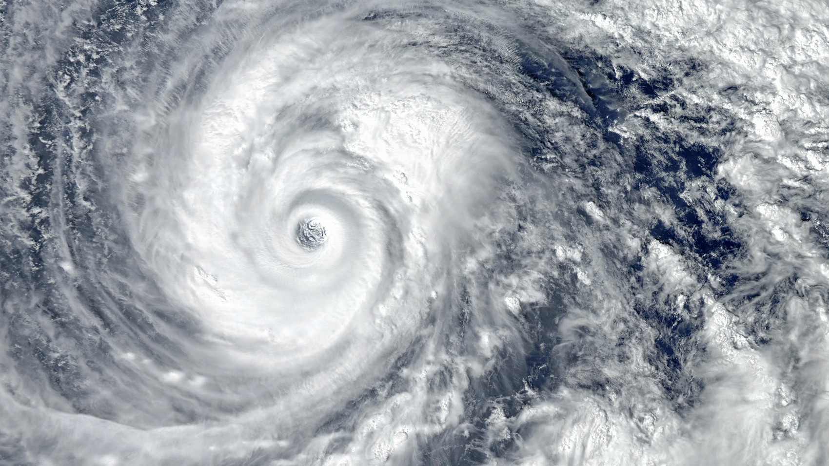
Track of Potential Tropical Feature
It is more difficult to predict where any potential storm would head after it formed. Should the system remain weak, it would likely move to the west and toward Central America. This part of the planet has seen a heightened amount of tropical activity in recent weeks.
However, if a feature is slower to become organized, more wind shear could move into the region and break it up. This would effectively end the risk of the feature making landfall anywhere in the basin.
Lastly, there is also the possibility that a potential feature could be driven by stronger westerly steering winds. Forecasters believe that these westerly winds will be potent enough to send a potential storm to the northern Caribbean. This would take it away from the U.S. or the southeastern coastline.
A competing area of high pressure forecast to set up near the eastern coast of the U.S. late next week could influence the direction and strength of any potential tropical weather feature. This zone of high pressure would likely work to strengthen the tropical weather characteristics by infusing more spin into the feature.
While the U.S. would not see a direct hit, the coastline in an area stretching from Florida and up through the Carolinas could see rough surf conditions if the feature tracks near the Bahamas.
The bottom line is that while the 2023 Atlantic hurricane season is nearing its end, there is still a small window of opportunity for more tropical weather to come to life.
Did you find this content useful? Feel free to bookmark or to post to your timeline for reference later.

January 21, 2024

January 19, 2024

January 18, 2024
