Heavy Rain, Flooding, and Chance of Severe Weather Staring Down the Southern U.S.
January 22, 2024
Posted: May 3, 2022 9:47 am


The nation’s mid-section has been under the gun with multiple severe weather outbreaks to close out April and usher in May. This pattern is forecast to continue with yet another elevated risk of severe storms positioned in the south-central Plains on Monday. This risk will push into the Ohio Valley on Tuesday, bringing these adverse weather elements to an area that has been generally spared over the last few weeks.
Tuesday’s severe weather is forecast to form a line stretching from Arkansas and into Ohio. The highest concentration of severe weather is expected to impact cities such as Louisville, Cincinnati, and Columbus. Much of the area will wake up to non-severe storms on Tuesday morning with the most dangerous weather coming in during the afternoon hours as the temperature begins to climb.
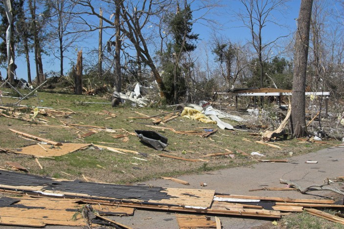
The biggest threats for this line of storms will be the locally damaging winds. These wind speeds will have the possibility of bringing down trees and triggering power outages. The storms will also bring the risk of hail, particularly in areas that see the sun come out in the afternoon hours. As the sun heats up the atmosphere, it will be more likely that the severe weather is able to find the conditions that it needs to cause damage.
Locally heavy downpours may also impact travel along parts of interstates 40, 55, 64, 65, and 70. Motorists need to be ready for the potential of reduced visibility and an increased risk of hydroplaning as water pools on the roads.

Wednesday’s severe weather is predicted to be back in the southern Plains. A storm system is setting up to move down from the Rockies, igniting more storms for this region of the nation. These storms will zero in on the northwestern corner of Texas and central Oklahoma by the end of the day Wednesday. The storms may expand as far north as the southwestern edge of Missouri.
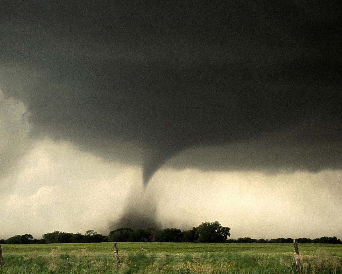
These storms will produce a wide variety of conditions, ranging from large hail the size of baseballs to strong wind gusts. There is also the risk of tornadoes associated with this predicted weather maker. However, the threat of tornadoes will lessen as the system moves to the east.
The southern Plains will likely see a respite from the severe weather on Thursday as high pressure builds. However, the storms will simply move on to affect another region of the country. It will be the middle and lower Mississippi Valley dealing with stormy conditions on Thursday. The primary threat will likely be located between Interstate 20 in Louisiana stretching up to Interstate 70 near St. Louis.
Next in line for Friday’s onslaught will be the southeastern coast of the U.S.
Did you find this content useful? Feel free to bookmark or to post to your timeline for reference later!

January 21, 2024

January 19, 2024

January 18, 2024