Heavy Rain, Flooding, and Chance of Severe Weather Staring Down the Southern U.S.
January 22, 2024
Posted: May 24, 2023 1:17 pm


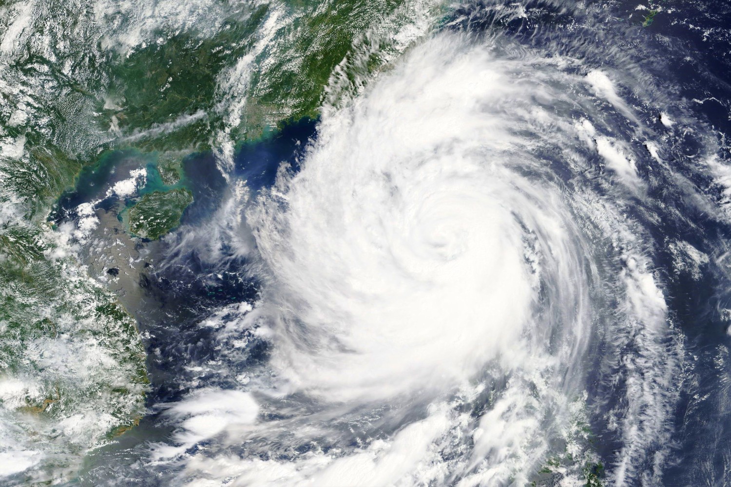
The U.S. territory of Guam is busy making preparations for what could be a devastating typhoon strike. Here is the latest on Typhoon Mawar and what the U.S. government is doing to protect the territory in the coming days.
Typhoon Mawar has intensified into a powerful Category 4 storm as designated by the Saffir-Simpson Scale. The massive storm is inching closer to Guam and the Mariana Islands with forecasters warning that the typhoon could grow stronger as it makes its approach from the West Pacific.
In fact, hurricane experts say that Typhoon Mawar could be the most powerful and destructive storm to hit the region in decades.
The islands in Mawar’s path are in danger of experiencing destructive winds and life-threatening flooding. As of late Tuesday, Mawar was spinning southeast of Guam as it makes its way to the north-northwest.
This track is predicted to continue through Wednesday when the storm may find the necessary fuel to strengthen into a Category 5 storm as it passes over Guam.
U.S. President Joe Biden is taking action to provide Guam with the necessary resources in the aftermath of the projected landfall. The president has approved federal disaster assistance through the Federal Emergency Management Agency (FEMA) to help the local response efforts.
FEMA said that this official action will give it the power to coordinate the overall disaster relief efforts in the coming days.

Typhoon Mawar is expected to bring a number of impacts when it makes landfall. The worst of the conditions are predicted to happen on Wednesday night. Rainfall amounts of 8 – 15 inches are on tap for Guam and the Mariana Islands.
This amount of rain will almost certainly lead to flash flooding and mudslides. Travel is likely to be severely compromised as roads are deemed to be impassable.
Strong winds will also be an issue. Wind gusts of up to 180 mph are in the forecast across the worst hit regions of the Northern Mariana Islands and some portions of Guam. These winds will produce coastal flooding, rough surf conditions, and power outages.
After roaring through Guam and the Mariana Islands, Typhoon Mawar is forecast to move more toward the west and northwest as it approaches Taiwan and the southern portions of Japan’s Ryukyu Islands by early next week.
The storm will then turn toward the northeast, however, different models indicate varying time frames of when this turn might happen.
For instance, if Typhoon Mawar takes its time making the turn to the northeast, more rain could fall across Taiwan. It is also possible that Japan takes the brunt of the storm depending on the timing of the turn. You will want to stay tuned to the forecast if you live in this corner of the globe.
Guam and the Mariana Islands are no stranger to typhoons. There have been a total of 23 typhoons that have moved within 200 miles of Guam in the last few decades.
2002 was a particularly hard year when Typhoon Pongsona destroyed about 1,300 homes in Guam alone when it passed to the east of the island. This storm caused about $1 billion in damages as a Category 4 monster, making it the strongest storm to churn within 50 miles of Guam since that time.
More recently, Typhoon Mangkhut impacted Guam in 2018 while Typhoon Wutip made its presence known in 2019.
Did you find this content useful? Feel free to bookmark or to post to your timeline for reference later.

January 21, 2024

January 19, 2024

January 18, 2024