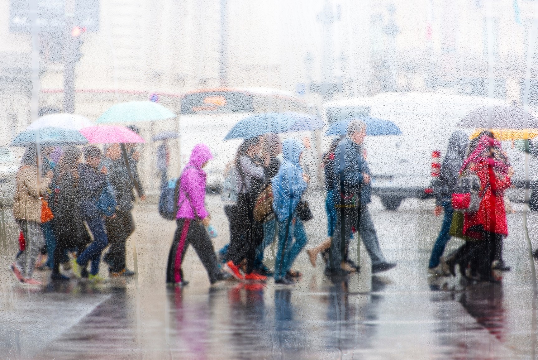
Heavy Rain, Flooding, and Chance of Severe Weather Staring Down the Southern U.S.
January 22, 2024
Posted: December 4, 2022 1:47 pm


A punishing set of storms is continuing to impact a large section of the south central U.S. and farther northward. The storm track is set to bring more rain to an area stretching from the Red River of Texas up into the Ohio and Tennessee River Valleys to start the week.
A potent storm is set to rush down from the southern Rockies late Sunday and into early Monday. This surge of moisture and energy will set the stage for a wet and tumultuous start to the work week for much of the southern U.S.
The energy will meet with an area of moisture coming in from the Pacific Ocean, bringing a good chance of showers to eastern Oklahoma and northeastern Texas on Monday. This rain will move into the Tennessee and Ohio Valleys on Tuesday and Wednesday.
A second storm will make its way into the southern Plains on Tuesday, bringing the risk of more moisture to the lower Mississippi and Tennessee Valleys as the week continues. Residents of this region can expect the heaviest rain to hit south of the center of the weather maker. This puts portions of Arkansas, Tennessee, and the northern tier of Mississippi, Alabama, and Georgia in the primary impact zone.
There will be a high risk of flooding in areas that see heavily localized rain over multiple time periods. This risk will be elevated in communities that have been dealing with drought conditions. According to the latest report from the U.S. Drought Monitor, the areas of this region that are experiencing the driest conditions include eastern Oklahoma and a good part of Arkansas, Kentucky, Tennessee, and Georgia.
Cities that have been unseasonably dry this fall include Nashville, Atlanta, and Louisville. So although the moisture associated with the incoming storm systems will be welcome in these communities, too much precipitation over a short period of time may trigger flooding. The risk will be the highest in low-lying areas.
There is also the chance that some of the rain showers may develop into thunderstorms. This risk will be higher if the storm system picks up steam quickly when it ejects from the Rockies on Monday. The most likely place to see thunderstorms firing up will be in areas with warm and humid air already in place, specifically across the southern Mississippi Valley.
In addition to heavy rain, the storms will also bring the threat of damaging winds. This risk will be centered across portions of eastern Texas, into Arkansas, and through Louisiana and Mississippi with Tuesday being the most likely timeframe for development. This is the same general area that experienced severe weather to close out the month of November. Over three dozen tornadoes were reported in Louisiana, Mississippi, and Alabama on November 29, killing two people and causing widespread damage.
Looking ahead, the parade of storms is forecast to continue late in the week and into next weekend. This will bring the chance of more moisture, including snow, to a large area of the U.S. leading up to the Christmas holiday.
Did you find this content useful? Feel free to bookmark or to post to your timeline for reference later.

January 21, 2024

January 19, 2024

January 18, 2024