Heavy Rain, Flooding, and Chance of Severe Weather Staring Down the Southern U.S.
January 22, 2024
Posted: November 13, 2023 9:20 am


Near-record warmth is in the forecast for the Northeast and the Midwest next week. However, the unseasonably warm temperatures will also come along with gusty winds, raising the risk of wildfires at an unusual time of the year. Here is what you need to know about this atypical forecast.
Change in Jet Stream Position Will Send Up Warmer Temperatures
A major change in the weather pattern will usher in significantly higher temperatures for an area stretching from the Midwest to the East Coast. A northward shift in the jet stream will bring up the warmer temperatures from the south, contrasting with the chilly weather that will envelop the region this weekend.
How warm will it get? Temperatures will climb to about 20 degrees above normal for the region, challenging long-standing records in some communities. The warmer weather will come at the price of gusty winds. The dry leaves on the ground could serve as kindling for wildfires.
The Midwest will experience the warming trend first as an area of high pressure sets up over the central portions of the country early next week. The high pressure will support the warmer temperatures and dry conditions for several days in a row.
The northern Plains will begin to see the mercury climb this weekend with temperatures that begin to increase 5 – 10 degrees each day. Daily highs typically hover in the 40s this time of the year, however, the region can expect to see readings that climb into the the 60s on Sunday and Monday. For example, the mercury may hit 60 degrees in Fargo, North Dakota on Tuesday.
The 60-degree readings will arrive in areas such as Chicago and Milwaukee by the start of the work week. Meanwhile, highs that eclipse the 70-degree mark are possible on Tuesday in the northern Plains. Heading toward the north, International Falls, Minnesota may see readings top 50 degrees by the middle of the week. This is a sharp contrast to the normal high for the middle of November in the mid 30s.
Unfortunately, the warm weather will also mean a lack of moisture. This is bad news for the middle and upper Mississippi River Valley. The mighty Mississippi has been grappling with low water levels for several months and is in dire need of rain.
Warmth to Expand to Northeast
Although the Northeast will remain chilly to start the week, the warm air is on the way once the cold fronts currently impacting the region move out to sea. The high pressure building over the Midwest will push to the east later in the week, bringing warmer conditions along with it.
The interior portions of the Northeast are forecast to see the temperatures reach 60 degrees on Wednesday. This warmth will hit the major metropolitan areas up and down Interstate 95 by Thursday. Readings in the 70s will stretch as far north as Philadelphia by the end of next week, translating to a weather pattern with temperatures about 15 degrees over the historical average.
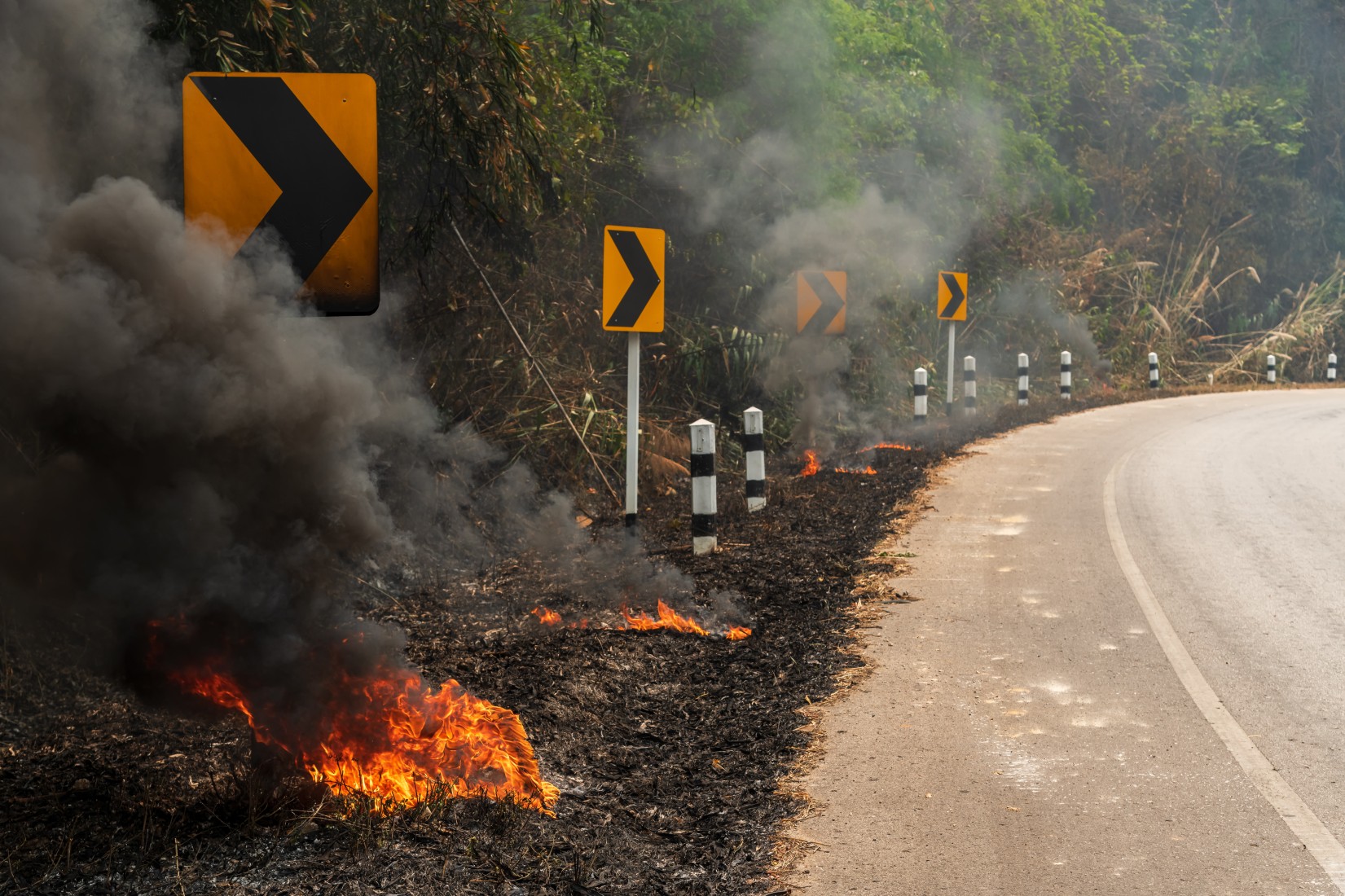
The potentially record-breaking warmth will come with the risk of wildfires. This threat will be heightened with so many dry leaves still scattered across the landscape. A large portion of the Midwest and the East Coast is also still dealing with abnormally dry conditions, exacerbating the fire risk if winds pick up. These winds are forecast to increase as several cold fronts dip down from Canada and into New England, creating a clash with the high pressure zone in place to the south.
The threat of wildfires will be the greatest on Monday in the northern Plains. By Tuesday and Wednesday, the highest risk will be focused on the Upper Midwest. The Great Lakes region and the Northeast will see the threat on Thursday and Friday. A wetter weather pattern is forecast for next weekend, hopefully helping to reduce the risk of wildfires.
Did you find this content useful? Feel free to bookmark or to post to your timeline for reference later.

January 21, 2024

January 19, 2024

January 18, 2024