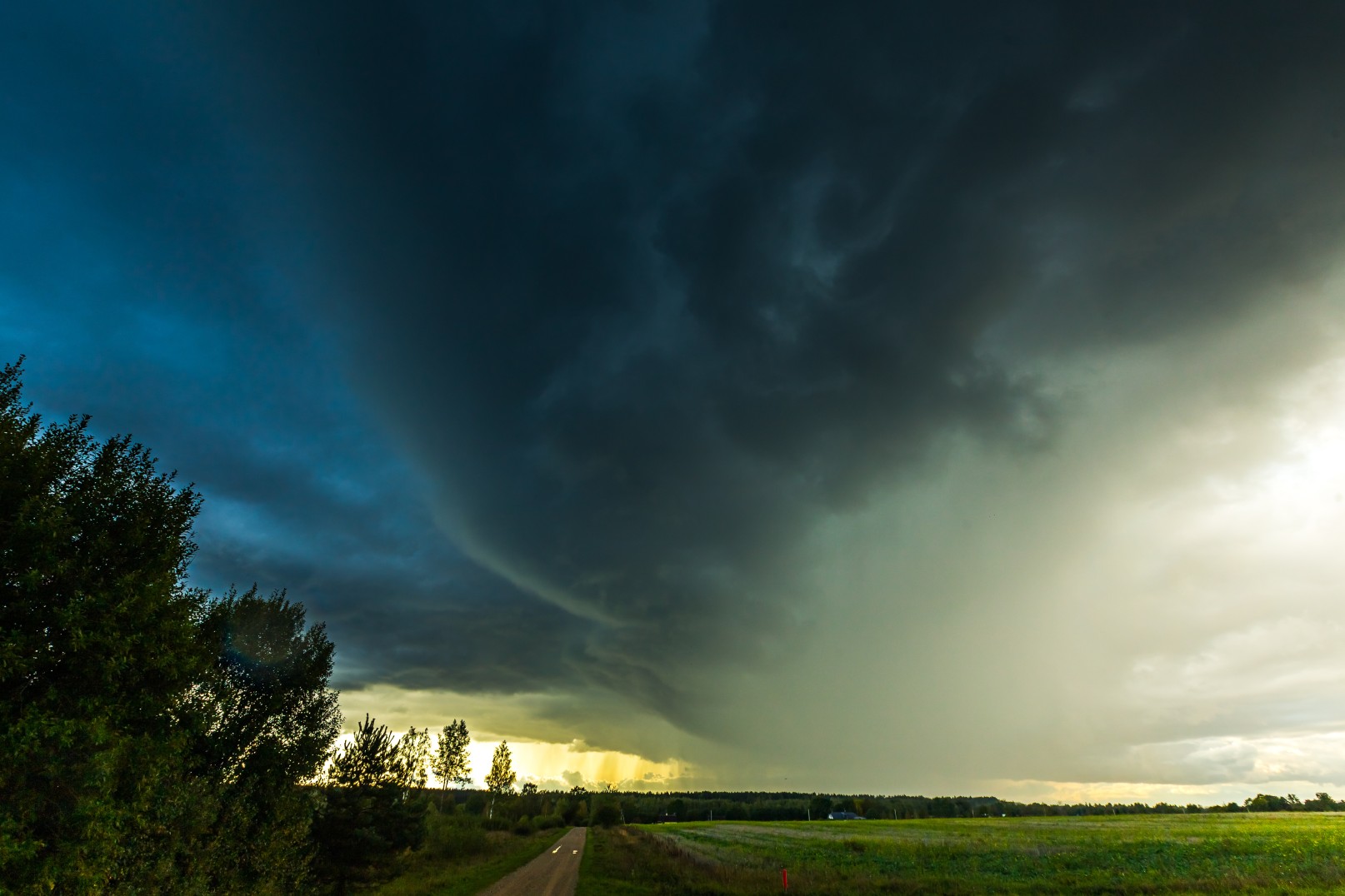
Heavy Rain, Flooding, and Chance of Severe Weather Staring Down the Southern U.S.
January 22, 2024
Posted: May 2, 2022 11:43 am


Stormy Conditions Continue in the Nation’s Heartland
After a chilly end of April throughout the northeastern corner of the U.S., nobody can blame residents for being excited to welcome in more moderate temperatures to start the month of May. Meanwhile, there will be more severe storms dictating the weather pattern for the middle of the country.
Temperature readings averaged about 3 – 4 degrees below average for the last half of April in this part of the country. However, it will be the opposite as May launches with temperatures coming in at slightly above normal for a bulk of the region. While the warmth will be welcomed by most people, it will also come paired with soggier conditions.
A series of changes in the jet stream will trigger the pattern of active weather throughout the week. A new storm system is forecast to move through the Northeast once every few days. The first of these storms got its start on Sunday in an area stretching from eastern Ohio and southwestern Pennsylvania down into West Virginia, the western portion of western Virginia, and eastern Kentucky.
The rain is expected to push into New England on Monday, expanding to the north as the day continues. This wet weather will come partnered with a mass of a warm air that is traveling up from the Southeast. This surge of warm air will bring temperature readings back up to what is the seasonal norm for the beginning of May on Monday and Tuesday.
Highs are expected to trend into the upper 70s in the Chesapeake Bay area on Monday. The mercury will start to rise in earnest on Tuesday through Pennsylvania with readings in the lower 70s in Pittsburgh and Philadelphia. These daily highs are all a few degrees above average for the first week of May.
How high the mercury climbs will be largely dependent on the amount of cloud cover. Because of the predicted stormy pattern, the temperatures may not reach their full potential in some parts of the Northeast. For example, New England cities such as Boston and Providence may see temperatures that are actually slightly below average for this time of the year because of the expected cloud cover.
Forecasters are relatively certain that Wednesday is setting up to be a rainy day for much of the Eastern Seaboard. Widespread showers are in the forecast in an area expanding from the Carolinas up through the Canadian border. While thunderstorms are not out of the forecast, most of the precipitation will fall as straight rain. Do not be surprised to see a few rockets of localized flash flooding, particularly in low-lying areas.
The arrival of the widespread rain will also lower temperatures to normal or possibly slightly below normal by the middle of the week. After a brief drying out period on Thursday, a southward jaunt in the jet stream will likely bring cooler air and more rain to the Northeast to close out the week. Some of the higher elevations could even see a few snowflakes mixing in with the rain as the mercury falls.
It will be another stormy start to the week for parts of the Midwest as storms in the southern Plains on Sunday move to the east on Monday. The day will start a little rainy up and down the Interstate 35 corridor stretching from Wichita to Oklahoma City. This line of precipitation will then move to the east as the day continues, triggering a destabilization in the atmosphere in the afternoon hours.
Forecasters are warning that it could be a rocky evening for some parts of southeastern Kansas and north-central Oklahoma if storms fire up. These storms bring the potential of heavy downpours, hail, and tornadoes to cities such as Wichita and Oklahoma City.
A large area of low pressure will continue its track to the east into parts of the Ohio Valley on Tuesday. At the same time, there will likely be another round of severe weather firing up in the Plains by Wednesday.

January 21, 2024

January 19, 2024

January 18, 2024