
Heavy Rain, Flooding, and Chance of Severe Weather Staring Down the Southern U.S.
January 22, 2024
Posted: November 15, 2022 4:04 pm


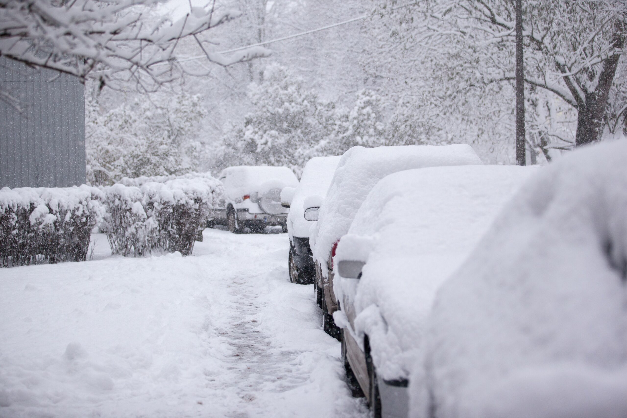
‘Tis the season for the lake-effect snow machine to start to fire up. As a result, a winter storm watch has been issued for a portion of western New York with a forecast of 3 – 6 feet of new snow a possibility.
Forecasters are warning that this week’s lake-effect snow event could produce a record amount of white stuff, burying some areas in snowfall measured in feet rather than inches. The strongest snow bands will fall along parts of Interstate 90, including the city of Buffalo. Snow is also forecast to fall at a fast clip of up to 4 inches per hour along Interstate 81 north of Syracuse.
The snow is predicted to begin to fall heavily on Thursday and hang around into the weekend. Although this part of New York has already experienced snow this season, the upcoming weather maker is forecast to be the most significant snowfall yet. Lake water temperatures still trending on the mild side will contribute to the greater amount of snow in the forecast.
The waters in the Great Lakes are registering in the 50s heading into the middle of November. Warmer waters translate to no ice cover. This means that the lake will produce a greater amount of moisture as cold air moves through, creating more significant lake-effect snow.
Meteorologists are predicting that the heaviest bands of snow will occur downwind of Lake Ontario and Lake Erie. These areas can expect to see several feet of new accumulation. The presence of wind whipping in from a uniform direction is expected to produce a massive band of snow over a small impact zone. As of Tuesday, this wind is setting up to create an intense band of snow across the Buffalo metropolitan area, triggering a winter storm watch in this area of the state.
The current forecast predicts that Buffalo and the southern suburban areas may see 3 to 6 feet by Sunday. The heaviest bands of snow will likely move in on Thursday night into the early hours on Friday and again late Saturday.
Motorists will likely encounter difficult travel conditions during these time periods as road crews will find it challenging to keep up with snow falling at this rate. It is a good idea to plan travel around the timing of the heaviest snow bands.
It is not unusual for Buffalo to experience monster lake-effect snow events during the month of November. Just two years ago, life in the metro area came to a standstill after 2 feet of snow pummeled the region. This snow storm is now responsible for the largest single-day snowfall for the month when 24.9 inches were recorded. Forecasters are warning that this upcoming event could produce snowfall amounts that may challenge this record.
Over a dozen deaths were blamed on a snowfall event in 2014 when over 5 feet of snow descended on an area to the east of Buffalo. The snow triggered multiple roof collapses and stranded motorists for hours. The upcoming weather event carries the same potential of roof collapses and downed power lines.
This snowfall event is forecast to stick around until early next week. However, winds are predicted to shift by the end of the week, taking the worst of the snow in a direction that will give Buffalo and its environs a break.
Did you find this content useful? Feel free to bookmark or to post to your timeline for reference later.

January 21, 2024

January 19, 2024

January 18, 2024
