
Heavy Rain, Flooding, and Chance of Severe Weather Staring Down the Southern U.S.
January 22, 2024
Posted: December 23, 2021 10:55 am


While it is not usual that the Pacific Northwest cities of Seattle and Portland see a white Christmas, it just may be in the cards this year.
A mass of precipitation will meet with a cold air mass coming down from Canada just in time for Christmas weekend. The Siberian air mass will track through British Columbia at the end of the week, bringing temperatures of up to 30 degrees below normal for this time of the year. By the beginning of next week, this air mass will travel over the border into Washington state, bringing the potential of record low temperatures to the region.
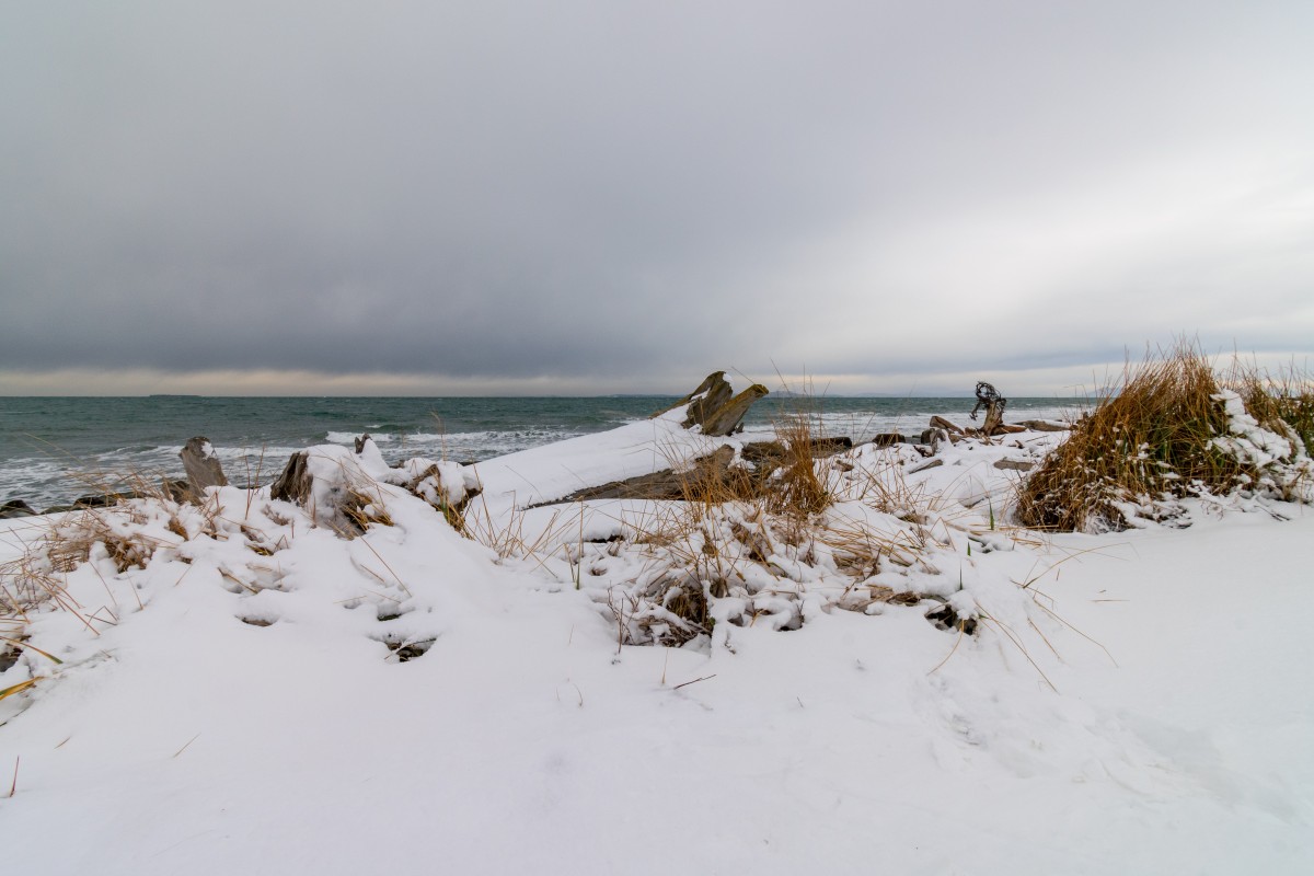
As the colder air begins to move in, it will meet with a mass of precipitation positioned over the region. With high temperatures only in the 30s on Saturday and Sunday in Seattle, the snow levels may come down enough to spread some of the white stuff throughout the city.
A slight coating of snow fell in Seattle on December 5. However, it was not enough to stick. Typical highs for this time of the year hover in the middle 40s with nighttime lows in the upper 30s, keeping most of the precipitation falling as rain.
Nighttime lows will likely approach the lower 30s on Saturday night before dipping even further on Sunday night. The record low temperature of 20 degrees may even be in danger of falling on Sunday.
While it will certainly feel cold in the Pacific Northwest, the interior parts of British Columbia and Saskatchewan will be even colder. The real feel temperatures in this part of Canada will drop well below zero degrees. This mass of bitterly cold air will drop into parts of Montana and the northern reaches of Idaho and Washington by the end of the weekend.
The arrival of cold air will not be the only signal that winter is here. A substantial amount of precipitation is also on the way for this corner of the U.S. This rain and snow could disrupt travel for millions over the holiday weekend.
The precipitation will pick up at the end of the week and continue through the beginning of next week. The snow may reach as far south as Portland.
It was 2017 when the Seattle area saw flakes fly on Christmas Day. On this date in history, the Emerald City recorded one inch of snow on Christmas Day after seeing over 1.5 inches the previous day. It has been since 2008 that Portland enjoyed a white Christmas. Farther to the north, Vancouver, British Columbia may also be in for a coating of snow on the holiday.
Of these three major cities in the region, Seattle has the best chance of seeing snow. Portland and farther south will likely just see heavy rain. Up to two inches of rain may fall along the Oregon coast through the weekend.
While the snow may be sparse in the lower elevations, the mountainous terrain is forecast to get pounded with snow over the next several days. This is good news for the mountains in the interior West that have been dealing with drought conditions. More than 65% of Oregon and Montana are under the designation of extreme drought by the U.S. Drought Monitor.
The Cascades may see up to four feet of snow out of this system while Medford, Oregon could see up to six inches of new accumulation by Sunday morning.
Travelers need to exercise caution this weekend on interstates 5, 15, 84, and 90. It will not take much snow for these roads to become slippery. Air travelers may also experience delays as the deicing machines may be needed to prepare the planes for flight.
Looking ahead, the beginning of the year is set to see a drier weather pattern because of a lack of moisture associated with the incoming storms.

January 21, 2024

January 19, 2024

January 18, 2024
