Heavy Rain, Flooding, and Chance of Severe Weather Staring Down the Southern U.S.
January 22, 2024
Posted: February 14, 2023 3:21 pm


Snow Will Push Into Northern Plains and Upper Midwest After Dumping on the Rockies
The temperature is expected to dip down again across much of the western U.S. this week. Accompanying the shift in the mercury will be the potential for heavy snow, particularly across the highest elevations. Here is what you can expect in the coming days if you live in this part of the country.
A new storm system is setting up to come on shore in the Pacific Northwest on Tuesday. This weather maker will include both rain and snow elements, depending on the elevation. The higher terrains can expect up to 2 feet of new accumulation. The Cascades will be ground zero for the most accumulation, translating to the potential of dicey travel conditions over the mountain passes.
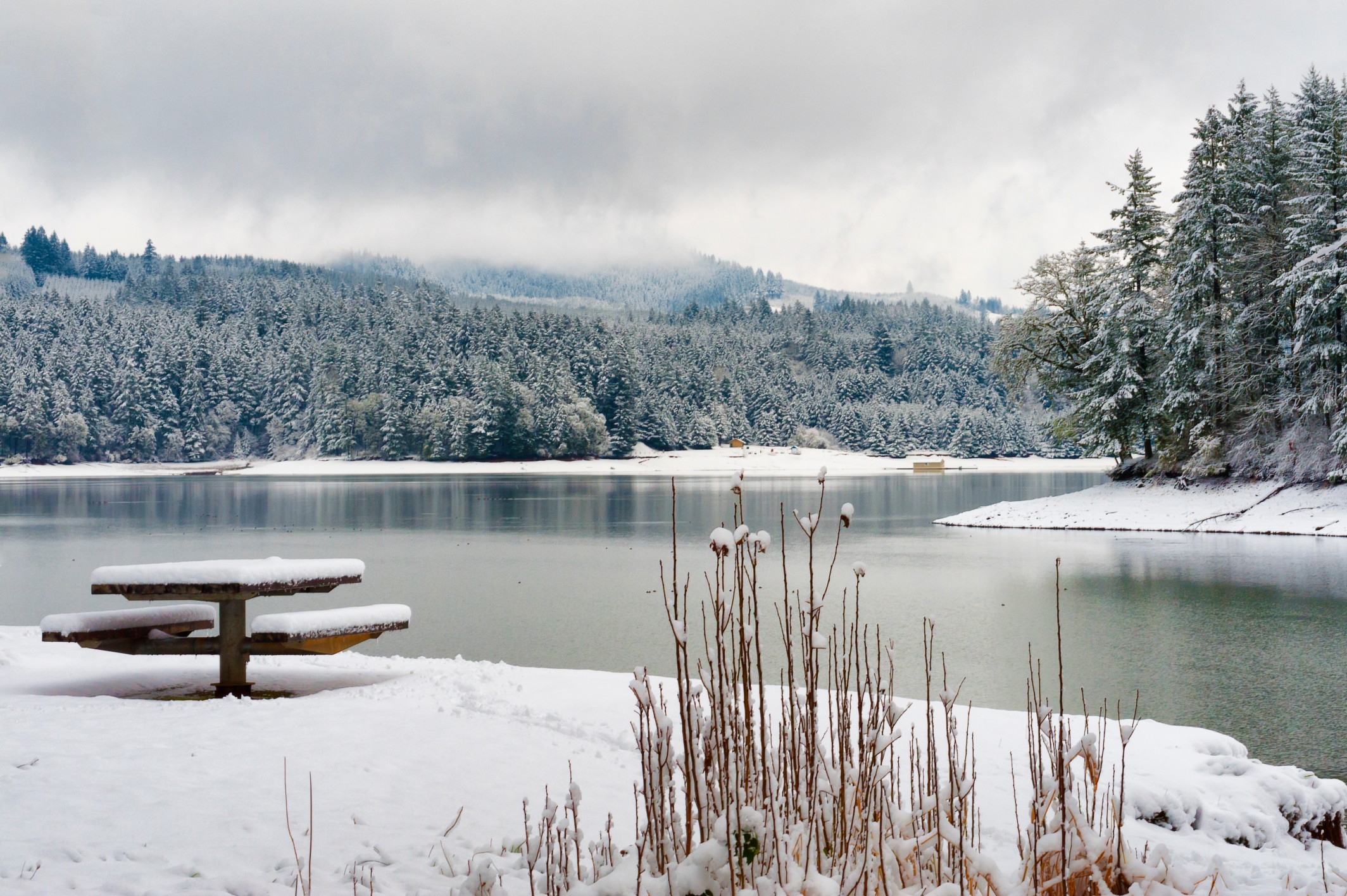
This latest system will usher in a cold front that may cause rain to turn to snow briefly in the populated cities such as Seattle and Portland. Any snow that does fly in this area is not likely to cause any major travel issues. Accumulation will be light and brief.
Both of these cities have not seen much snow this winter. While Seattle picked up significant accumulation in the week before Christmas, Portland has been in the midst of a snow drought this season. The Rose City only saw 0.2 of an inch of snow in December with nothing since the beginning of the year.
The areas of snow associated with this storm system will move to the south and the east by the middle of the week just as the temperatures continue their downward trajectory. This will create the chance of more widespread snow for a large portion of the Rocky Mountains.
Denver will be in the bullseye for meaningful accumulation along with cities such as Colorado Springs and Pueblo. The mountains to the west of the areas could pick up 1 to 3 feet of snow, giving the ski resorts a boost heading into the back end of the season.
The snow is forecast to fall at a fast clip, triggering travel complications if road crews cannot keep up with the accumulation. You can expect the flakes to fly in Denver starting Tuesday night and lasting through late Wednesday. The current forecast is calling for 6 – 10 inches of snow for the Mile High City.
The snow line will then move southward, producing accumulation in portions of the Southwest. This area has also been under a snow drought this winter season. For example, Albuquerque, New Mexico has not even recorded an inch of snow yet this winter. A typical winter would see about 6 inches of snow by the middle of February.
Any snow that does fall may hang around for some time due to the cold temperatures that will settle into the region. In addition, winds are forecast to strengthen across the Rockies by the middle of the week. These winds could create blowing snow that hampers travel. Wind speed may hit 50 mph in parts of Arizona and New Mexico on Tuesday and Wednesday.
Forecasters are warning motorists to be prepared for road closures and other travel difficulties throughout the interior West on Tuesday through Thursdays. Interstates expected to be impacted by the inclement weather include highways 25, 40, 70, and 80.
Temperatures will finally start to slowly tick upward in the West by the end of the week.
The snow is predicted to continue to intensify as it churns through the intermountain West and heads into the central and eastern U.S. by the end of the week. This movement will bring wintry weather to the northern Plains and the Upper Midwest.
Before this system moves in, an initial round of snow will impact a large swath of land stretching from northeastern South Dakota into northern Minnesota. This area should be ready for 3 – 6 inches of snow firing up late Tuesday and lasting through the middle of the week. Travel will likely be impacted across Interstate 29 in the Dakotas as well as Interstate 94 in central Minnesota and eastern North Dakota.
The round of snow coming in from the Rockies will then move into the central U.S. on Wednesday and Thursday, affecting an area farther to the southeast. Heavy snow to the tune of 6 – 12 inches is in the cards from eastern Colorado up through northern Michigan.
Areas that can expect to see this meaningful accumulation include Omaha, Des Moines, and Green Bay. Minneapolis and Kansas City may be on the fringes of this accumulation with a slight shift in the track of the storm bringing more wintry impacts to these metropolitan areas.
Like the Southwest, this weather system will also bring high wind speeds capable of producing blowing snow. This blowing snow will undoubtedly present challenges for road crews along with the possibility of brief blizzard conditions in an area from northeastern Iowa into Michigan on Wednesday night and through Thursday.
A stretch of calmer weather will begin by the end of the week across the central U.S. This break in the precipitation is forecast to last through the weekend.
Did you find this content useful? Feel free to bookmark or to post to your timeline for reference later.

January 21, 2024

January 19, 2024

January 18, 2024