Heavy Rain, Flooding, and Chance of Severe Weather Staring Down the Southern U.S.
January 22, 2024
Posted: January 22, 2022 9:50 am


While it may seem bitterly cold throughout much of the U.S. this weekend, it is important to keep in mind that this is traditionally the coldest time of the year. You are going to have to hold on a bit longer if you are tired of the winter weather. There are more cold temperatures and wintry precipitation in store for the Midwest and East Coast in the coming days.
Even as the mass of Arctic air that has set up over the Midwest and East over the last few days is moving out, there is more cold air predicted to come through the region for the foreseeable future. In addition to the persistent cold air, forecasters are predicting the return of snow to much of the U.S. this weekend.
This stretch of winter weather is going to complicate both road and air travel once again. The extreme cold will also put continued demand on the area’s energy resources.
The cold weather will be a continuation of what much of the region experienced to close out the work week. The mercury plunged to readings about 20 to 30 degrees below normal throughout the Midwest and Northeast on Thursday night. For example, the town of Saranac Lake, New York hit a reading of 30 degrees below zero.
The Midwest also saw a number of chilling temperatures, many well below zero. The extreme cold was blamed on clear skies, snow cover on the ground, and Arctic air dropping down from Canada.
While temperatures warmed slightly on Friday, more cold is on the way to finish up the weekend and jump into the next week. A large swath of the Southeast and the South Central states may see temperatures that break new records for the season so far as this air continues to expand.
It is going to be a chilling night at Lambeau Field in Wisconsin when the Green Bay Packers host the San Francisco 49ers. The temperature is expected to be hovering in the single digits at kickoff. While this may seem frigid, it will be about 15 degrees higher than what was recorded on Friday morning in Green Bay.
A new storm system whipping up in the Southeast will bring another round of cold temperatures to millions of residents. Overnight lows in Raleigh over the weekend may dip into the upper teens. While the sun is expected to come out later in the weekend, it still may not be warm enough to melt out this latest blast of wintry precipitation.
It will be a cold weekend in the Sunshine State as well. Overnight lows in Orlando will dip into the 40s for the next few nights. A bit north in Jacksonville, the overnight lows are forecast to hit about 30 degrees, bringing the city below freezing.
An Alberta Clipper is set to bring snow to the Midwest and Northeast starting on Saturday. The snow will first fire up in the Dakotas and Minnesota on Saturday before moving into a large portion of Indiana, Ohio, West Virginia, and western Pennsylvania by Sunday.
Because this clipper is forecast to move quickly, accumulation amounts will be on the lower end. Most areas will only see an inch or two with the hardest-hit areas, such as Minneapolis, expecting about three inches of the white stuff. Accumulations in the Chicago and Indianapolis metro areas will likely hover at less than an inch.
There is a slight chance that this clipper is able to push out over the Appalachians and into the mid-Atlantic and Northeast by the end of the weekend. Should this happen, it is possible that cities such as Baltimore, Philadelphia, and New York City may see a few flurries by late Sunday.
There is yet another clipper storm that forecasters are keeping their eye on in the coming days. This clipper is predicted to move to the southeast from Alberta starting on Monday. By the end of the day, the storm will be set up over parts of the Midwest before it tracks into the Northeast on Tuesday.
Like the weekend clipper event, this storm will likely only produce light snow. There is still the possibility that the weather maker may be able to draw up additional moisture from the Gulf of Mexico, producing a shot at more significant accumulation.
It is also possible that the two clippers could clash and form a stronger system as they meet up on the Atlantic coast late Tuesday and into Wednesday. While this is unlikely at this point, it would certainly raise the threat of more significant snowfall for the mid-Atlantic and up into southern New England.
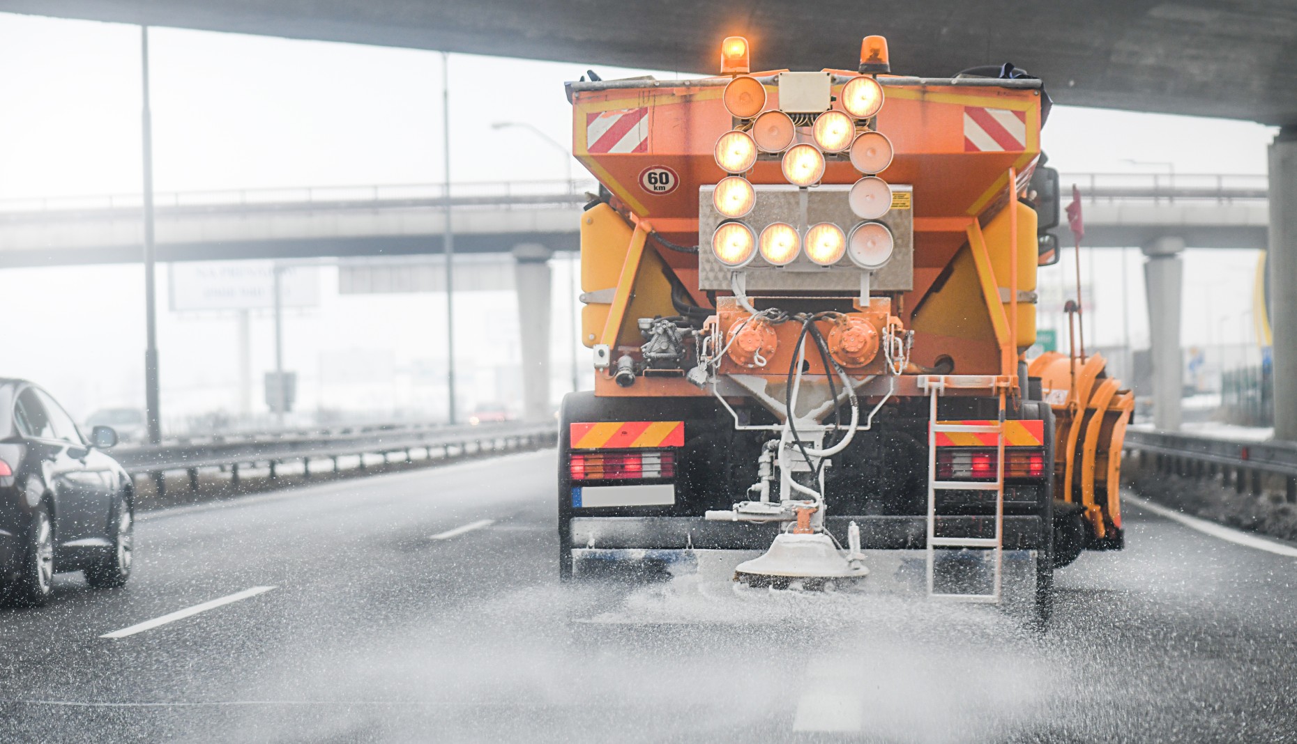
Because temperatures have been so frigid over the affected areas, any snow that falls will cling to the cold roads. This will make travel conditions dangerous at times, even in the absence of substantial accumulation.

January 21, 2024

January 19, 2024

January 18, 2024