
Heavy Rain, Flooding, and Chance of Severe Weather Staring Down the Southern U.S.
January 22, 2024
Posted: March 28, 2023 3:30 pm


Just when you think that winter is in the rearview mirror, Mother Nature shows you who is boss. A large portion of the Northeast is under the gun for another blast of winter as the temperatures plummet and wintry precipitation fires up once again. Read on for all of the details of this wintry forecast to bring the month of March to a close.
A strong cold front packing a moderate amount of moisture is forecast to move from the Great Lakes into the Northeast beginning Wednesday afternoon. The temperatures in the Northeast prior to the arrival of the front will hover in the 50s for much of the region. This will help to prevent roadways from becoming slippery as the winter precipitation begins to fall. However, these warm temperatures will not stick around for long.
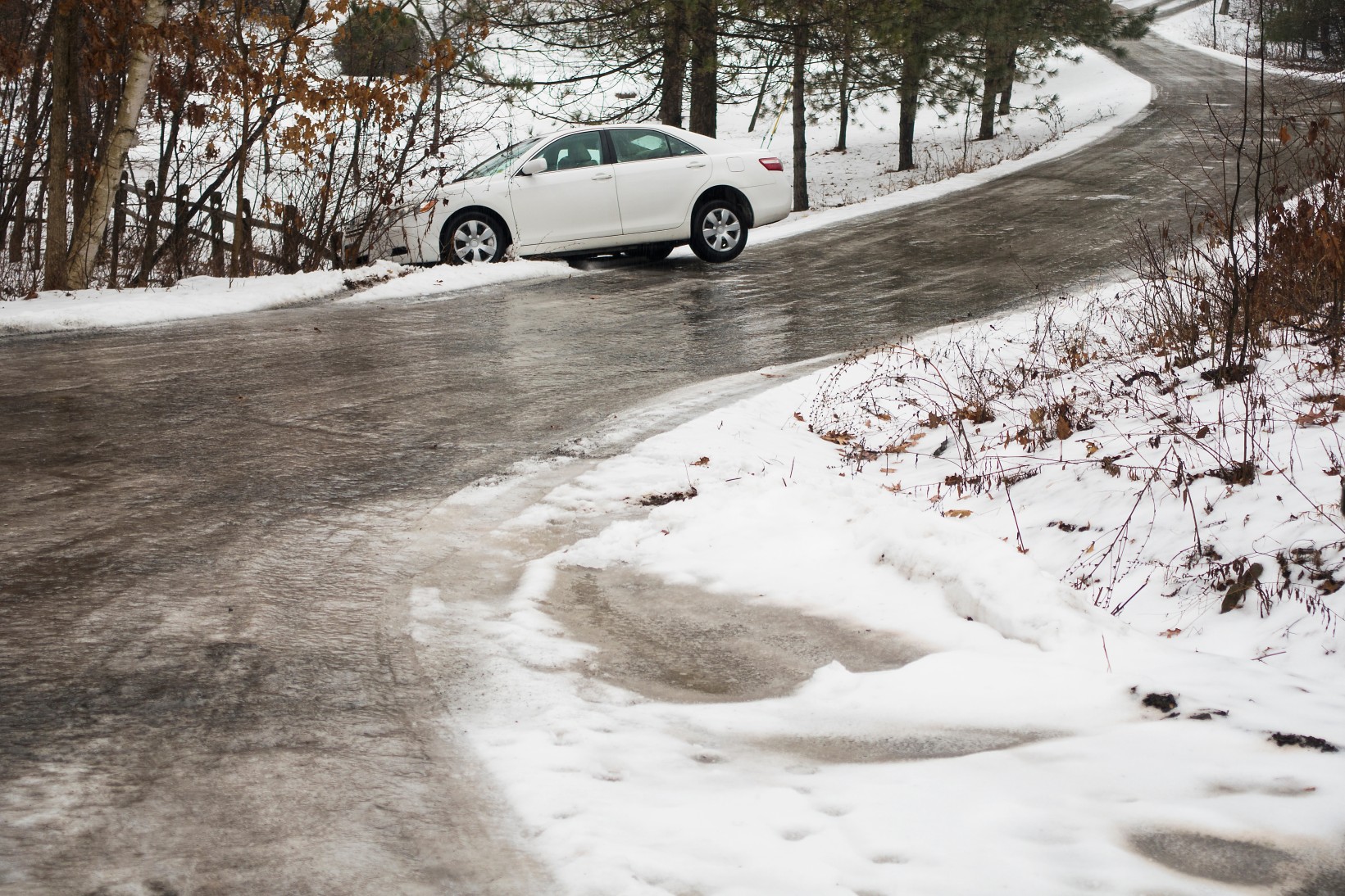
Forecasters are warning that the rapid drop in the mercury will eventually catch up to the temperatures on ground surfaces, creating potential travel complications for motorists. In addition, the onset of snow showers this late in the year could catch some travelers off guard.
There is also the possibility of widespread snow squalls. Strong winds in the area will combine with the snow to reduce visibility on the roads. Snow squalls are known for their ability to sweep through a narrow area quickly and with great intensity, creating multi- vehicle accidents as conditions rapidly deteriorate.
Wednesday’s inclement weather could bring visibility down to below one-eighth of a mile in the hardest hit areas. Portions of interstates 80, 81, and 90 through the interior portions of Pennsylvania are the most at risk of experiencing sudden snow squalls. Because these squalls seemingly pop up out of nowhere with no warning, they can be exceedingly dangerous when motorists are zipping along a highway.
While snow will not accumulate in significant amounts with this early spring storm, you cannot rule out a light dusting of snow across grassy areas and elevated surfaces. The northwestern corner of Pennsylvania into southwestern New York will see the highest chance of this light accumulation.
Most people in the region will notice the cold temperatures first. Temperatures could drop by up to 15 degrees in just a few hours as the front pushes from west to east. This will translate to readings that fall below the freezing threshold by late Wednesday evening.
Motorists are being advised to exercise caution on elevated bridges and overpasses on Wednesday night and into early Thursday. Icy spots could pop up when the sun is not out to warm the road surfaces.
The moisture will continue its track to the northeast throughout the night Wednesday, potentially impacting the major metropolitan areas of New York City and Boston. Warmer temperatures anchored over this area will likely keep the moisture falling as rain rather than snow, however, do not be surprised if you see a bit of snow mixed in with the rain.
Thursday will feel much colder when compared to the start of Wednesday. Winds will also pick up on Thursday, bringing the real feel down to even lower readings.
Those hoping for a return to spring weather are in luck. Temperatures are predicted to climb again on Friday and Saturday. However, these warmer temperatures will also come with the risk of strong winds in the Northeast to kick off the weekend. Stay tuned for the latest news on this developing forecast.
Did you find this content useful? Feel free to bookmark or to post to your timeline for reference later.

January 21, 2024

January 19, 2024

January 18, 2024
