Heavy Rain, Flooding, and Chance of Severe Weather Staring Down the Southern U.S.
January 22, 2024
Posted: February 16, 2023 11:14 am


Accelerated Warmup on the Way for Those Just Hit by Winter Storm
A monster winter storm continues to churn across the nation’s heartland, bringing snow from an area stretching from the Rockies up through Michigan. Wednesday was a messy day for several states with more wintry precipitation on tap for Thursday. Here is what you can expect on Thursday as well as a look back at the earlier impacts of this weather maker.
Forecasters are predicting up to a foot of snow for the hardest hit areas in the crosshairs of this storm. Cities that may see several inches of snow by the time that the system winds down include Omaha, Nebraska and Grand Rapids, Michigan. This amount of snow will almost certainly cause travel disruptions due to slippery roads and poor visibility.
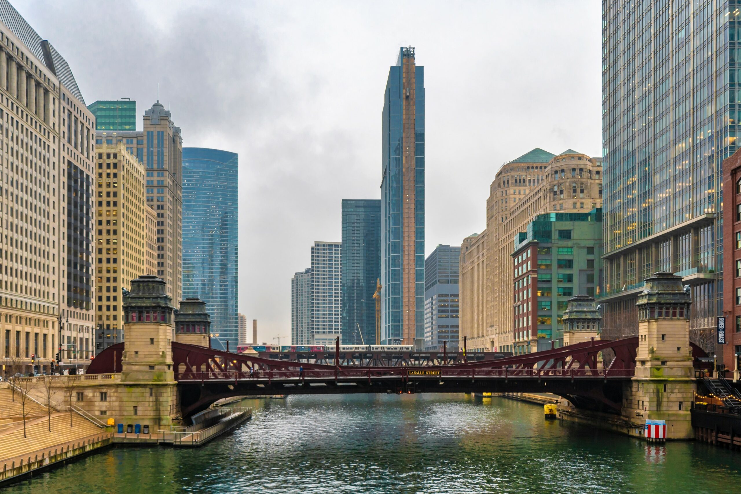
The bulk of the snow is predicted to miss the Chicago area, however, the Windy City is set to pick up about 1 – 2 inches of light accumulation along the lakefront area with up to 4 inches in the northern and western suburbs. It has been an unseasonably warm winter for Chicago, keeping most of the moisture falling as rain rather than snow. In fact, the city has only picked up a little over half of its normal snowfall to date.
Temperatures will hover in the mid 30s on Thursday in Chicago before falling into the low 20s during the overnight hours. The drop in the mercury will lead to a good chance of a slippery evening commute. You can expect areas of staying water and slush on the roads to freeze as the temperature continues its downward trajectory.
The arrival of this system was a hard blow for many residents that had been enjoying springlike conditions to start the week. Omaha was enjoying temperatures in the low 60s on Monday afternoon prior to the cold front’s arrival. While Tuesday was relatively pleasant, the situation changed dramatically by early Wednesday. Thursday’s forecast is calling for a high of just 29 degrees with overnight lows hitting the single digits.
Similarly, Milwaukee recorded readings that nearly cracked the 50-degree plateau on Tuesday only to have subfreezing readings in the forecast for early Thursday. Forecasters are warning that the roads will deteriorate throughout the day in Wisconsin’s biggest city throughout the day Thursday as the temperature continues its free fall.
In addition to the frigid temperatures and wintry precipitation, many areas will also be dealing with strong winds as the pressure in the atmosphere continues to drop. These winds will lay the groundwork for the possibility of near-blizzard conditions along stretches of interstates 29, 35, 70, 80, 90, and 94. It is important to check road conditions before heading out.
It will take longer for the snow to arrive in places such as Detroit. This will translate to the Friday morning commute likely being the most dicey.
The mid-February snowstorm is triggering a variety of closures and cancellations throughout a large swath of the country. The Santa Fe Police Department was forced to close the city’s government offices, libraries, courts, and community centers on Wednesday as the winter weather roared into the capital city of New Mexico. The city had recorded up to 3 inches of snow by Wednesday afternoon when the closures were announced.
The far-reaching storm also prompted over a dozen school districts in the Milwaukee area to close or delay school for Thursday. The city along the shores of Lake Michigan is forecast to see a general 6 – 10 inches in the coming hours. Milwaukee is under a winter storm warning from 9 am through 9 pm on Thursday.
Other areas that were blanketed with several inches of snow include western Kansas, eastern Colorado, and a large portion of Nebraska. For instance, by Wednesday evening, Wolf Creek Pass in Colorado had measured over two feet of snow while Denver saw nearly 4 inches of new accumulation.
Those wanting a return to springlike conditions will not have to wait long. Plentiful sunshine and warmer temperatures are on tap for the end of the week and the weekend, moving from west to east just as the storm moved through.
Denver will see the mercury climb above the freezing mark by Friday. The weekend will usher in readings that may eclipse the 50-degree barrier. Loads of sunshine will lead the way for the warmer temperatures throughout the Rocky Mountain region. Temperatures in Milwaukee and Chicago will land in the mid 40s for the weekend, marking a change back to seasonable conditions.
Did you find this content useful? Feel free to bookmark or to post to your timeline for reference later.

January 21, 2024

January 19, 2024

January 18, 2024