
Heavy Rain, Flooding, and Chance of Severe Weather Staring Down the Southern U.S.
January 22, 2024
Posted: January 7, 2022 3:28 pm


It was a record breaking day of snow across Tennessee and Kentucky. The system is now on the move through the Northeast, complicating travel and leading to a mess heading into the weekend.
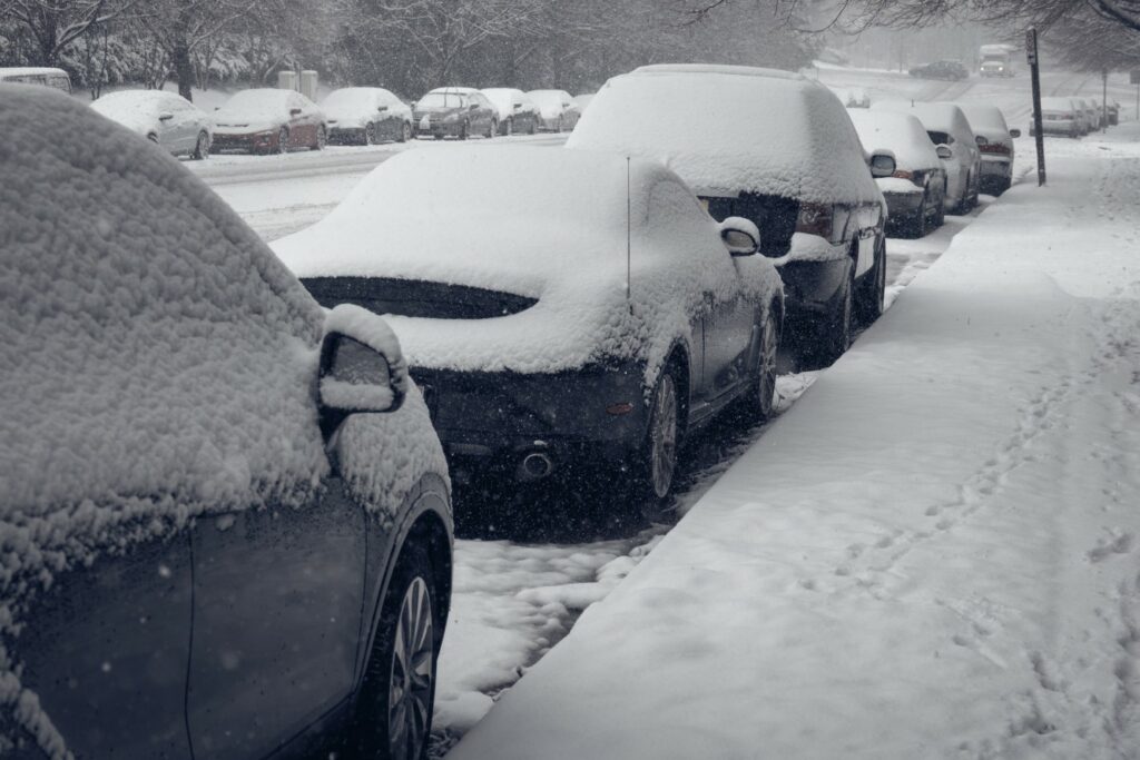
A large winter storm dumped significant snowfall to Nashville on Thursday. With 6.3 inches of accumulation reported, it was the snowiest day in the city since January of 2016. The day’s snow also broke the previous record of 4 inches on January 6, set back in 1977. With 11.3 inches already recorded this winter, it is the snowiest winter since the 2015-16 season with months to go.
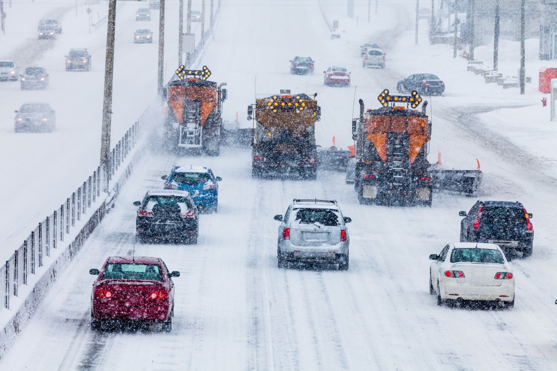
It was a treacherous Thursday morning commute for much of the city as the flakes started flying at about 7 am local time. Road conditions worsened throughout the day as crews had a difficult time keeping up with the rapidly falling snow. Westbound lanes of Interstate 40 were closed for a time just outside Jackson, Tennessee after a tractor-trailer jackknifed.
A second jackknifed tractor-trailer on the same stretch of highway outside of Wilson also significantly hampered traffic. Major accidents were also reported on Interstates 24, 65, and 75. The Nashville Department of Transportation urged motorists to stay home if possible.
The neighboring state of Kentucky also took the brunt of the snow. Kentucky Gov. Andy Beshear sent out the National Guard to assist police officers with the increasing amount of car accidents on the roads. Beshear also declared a state of emergency to help to free up resources. A multi-vehicle pileup of up to 100 cars was reported on Interstate 64 near the town of Mount Sterling on Thursday afternoon, sending numerous people to the hospital.
Some areas of Kentucky saw up to 10 inches of snow, including the city of Lexington. This set a new daily record for the city, breaking the previous 1910 record of 9.5 inches. Snow was falling at a rate of 1 to 2 inches per hour, making it challenging for road crews to keep up with the conditions.
After unleashing in the Tennessee Valley, the storm made its way into the mid-Atlantic and Northeast in the overnight hours on Thursday into Friday. Virginia, West Virginia, Pennsylvania, New Jersey, and Maryland all recorded significant snow overnight and Friday morning. As of mid-day Friday, the town of Thomas, West Virginia is leading the pack with 14 inches of accumulation in the books.
In New York State, the western tier experienced intense lake-effect snow while the eastern part got in on the action from the fast-moving storm. The north shore of Long Island had measured over 9 inches of snow by mid-day Friday.
The snow began falling around 1:45 am ET in New York City early Friday. By sunrise, the city had recorded 5.5 inches of snow in Central Park and 8.4 inches of accumulation at LaGuardia Airport.
Some parts of New England are sitting at over one foot of snow. Connecticut, Rhode Island, and Massachusetts are all still seeing the snow fall at a fast clip.
As expected, it has been a messy travel day for both motorists and those taking to the skies. Over 800 flights were canceled across the region throughout the day Friday. LaGuardia airport was staring down a cancelation rate of over 35% with likely more on the way. Boston’s Logan International Airport is also experiencing severe disruptions. Because the airports in the Northeast are major hubs, this snowstorm will have a ripple effect throughout the country.
While this storm is grabbing the headlines on Friday, another system is on tap for later in the weekend. It will be ice that is the biggest threat with the upcoming storm. The highest risk of ice will be in the central Appalachians and into the interior part of New England. The ice is forecast to begin hampering travel late Saturday and into Sunday. A mass of Arctic air will follow this storm into the Midwest and Northeast to start the week.

January 21, 2024

January 19, 2024

January 18, 2024
