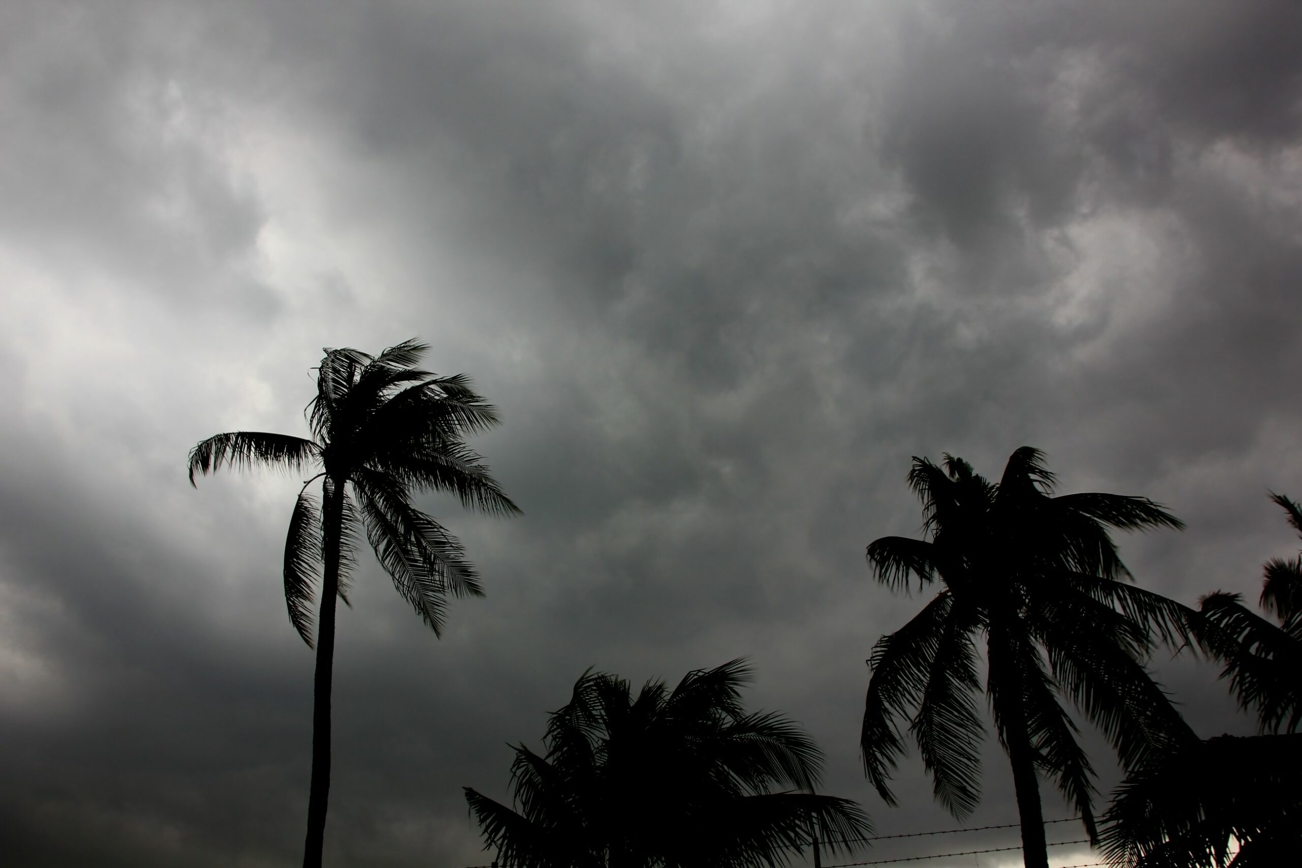
Heavy Rain, Flooding, and Chance of Severe Weather Staring Down the Southern U.S.
January 22, 2024
Posted: March 19, 2023 8:27 am


Florida will be anything but the Sunshine State in the coming days. A series of late-winter rain storms is going to spoil the plans for many spring breakers headed to Florida. Here is what you needed to know if you are headed to this area this week.
Although the rain will be a welcome sight for residents worried about the ongoing drought in the state, the dreary conditions will come at a bad time for the annual spring break migration. A cold front moving through the Southeast this weekend will be the culprit for this inclement weather for Florida.
The front hit the Florida Panhandle on Friday afternoon, ushering in unseasonably cool temperatures. The arrival of the front also triggered the formation of a few tornadoes and waterspouts in Walton and Bay counties.
The advancing front is now moving through the rest of the state, bringing in the possibility of thunderstorms this weekend for cities such as Orlando, Tampa, and Jacksonville. Beach goers in Daytona Beach will be greeted with unseasonably cool temperatures and the chance of rain.
The risk of thunderstorms will shift to the south throughout the weekend, eventually reaching locations such as Fort Myers and Naples. Sunday’s weather will bring rain and storms to the southern tier of the state. This means that theme park goers in Central Florida may see some dry weather.
Widespread severe weather is not likely with this line of storms. However, you can never rule out the chance of lightning or thunder if headed out for outdoor activities.
Sunday and Monday temperature readings could fall as much as 20 degrees below what is normal for the beginning of spring. Be sure to dress accordingly, particularly in the evening and overnight hours.
While spring breakers headed to Florida may be disappointed with the weather forecast, it is good news for the state’s drought outlook. The latest report from the U.S. Drought Monitor indicates that the bulk of the peninsula is under at least a moderate drought.
For instance, Orlando is currently dealing with a rainfall deficit of at least 4 inches in 2023. The normal accumulation by this time in the season is right at 6 inches and the city has only recorded 1.99 inches so far this year. Tampa is experiencing an even more severe drought, recording just 2.25 inches this year compared to the historical average of 6.61 inches.
Monday’s forecast will bring a slight drying out to the state, however, the cool temperatures will take a bit longer to push offshore. For example, Orlando will climb from highs in the lows 60s on Sunday to a forecast high of 70 degrees on Monday before finally seeing a reading of 80 degrees on Wednesday. The upcoming weekend may even see readings break the 90-degree mark in the Magic City.
The southern part of Florida will continue to see the chance of rain showers and thunderstorms throughout the day. You can count on the weather maker finally exiting the region by Tuesday. Until then, be prepared for a variety of inclement weather conditions.
Did you find this content useful? Feel free to bookmark or to post to your timeline for reference later.

January 21, 2024

January 19, 2024

January 18, 2024