
Heavy Rain, Flooding, and Chance of Severe Weather Staring Down the Southern U.S.
January 22, 2024
Posted: November 13, 2021 10:59 pm


Two Separate Systems to Provide Chance of Snow
The Northeast will experience its first real blast of winter this weekend and into the beginning of next week. Much colder temperatures and the chance of measurable snowfall will be the norm for much of the region over the next few days.
The first rush of cold air will make its presence known on Saturday, sending temperatures plummeting. This cold air will be accompanied by rain for the majority of the area, however, areas above 2,000 feet will be more likely to see precipitation fall as snow. A second system will move in later in the weekend, delivering the biggest threat of snow to the low-lying elevations.
The change in air temperature will feel quite dramatic to most people who have been enjoying highs in the 50s and 60s over the last few weeks. Along with the cold air mass, gusty winds will make the temperature feel even colder.
The first arriving system is forecast to bring snow to the mountainous terrain above 2,000 feet in an area stretching from western and northeastern Pennsylvania into northern New England. This snow will pick up Saturday, particularly in the overnight hours. As the sun sets, any rain will likely transition to snow in this area. This means that a large part of the Adirondacks, Catskills, Berkshires, Green, and White mountains should be ready for measurable snowfall. There is also the chance that the lower elevations of the Poconos and the upper Hudson Valley may also see some snowfall accumulation out of this system.
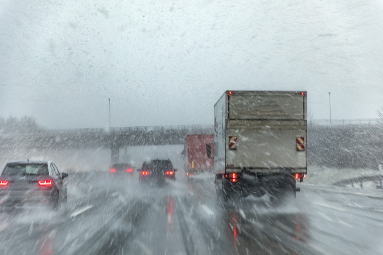
Do not get too attached to the snow with this first round. The white stuff will likely be slushy, meaning that it will melt quickly on Sunday as the temperature warms up. While this snow will paint quite the wintry scene, it may cause issues for motorists. Because this is the first snow for most of the region, roads have not been treated yet for adverse conditions.
The second system will arrive soon after the first storm exits the region. Because the cold air from the first blast will already be entrenched in the system, the second storm will have more ingredients to work with to deliver wintry weather. This second system is primarily the result of an Alberta clipper, moving over the northern Plains and into the central Appalachians by late Sunday.
The entrenchment of cold air will trigger snow showers over a larger area throughout the Northeast starting Sunday night and continuing through Monday. This means that measurable snowfall could fall to the west of the Interstate 95 corridor, potentially complicating the Monday morning commute.
In addition, the lake-effect snow happening in the Great Lakes over the weekend will also begin to expand into the Northeast to close out Sunday and kick off the new week.
The snow on the East Coast will likely stay away from the coastal areas. The Eastern Seaboard is more likely to see cold rain rather than snow. Cities in Pennsylvania such as Harrisburg and Pittsburgh are the likelier targets of the messy weather.
While New York City and Washington, DC, may see a few flakes here and there, these major metropolitan areas are not expected to see significant snowfall.
Looking ahead, the temperatures are forecast to begin to moderate by Tuesday. Any snow that falls over the weekend will probably be gone by the middle of the week as a return to average November temperatures begins.

January 21, 2024

January 19, 2024

January 18, 2024
