Heavy Rain, Flooding, and Chance of Severe Weather Staring Down the Southern U.S.
January 22, 2024
Posted: December 4, 2023 9:21 am


It has already been a rough start to the month of December for much of the Midwest and the Northeast. In addition to unseasonably cold temperatures for a large portion of the region, a storm moving through the area to close out the weekend will linger into the early part of the new week. Here is what you can expect in the coming hours.
Storm Pushes North From Gulf of Mexico, Bringing Variety of Conditions
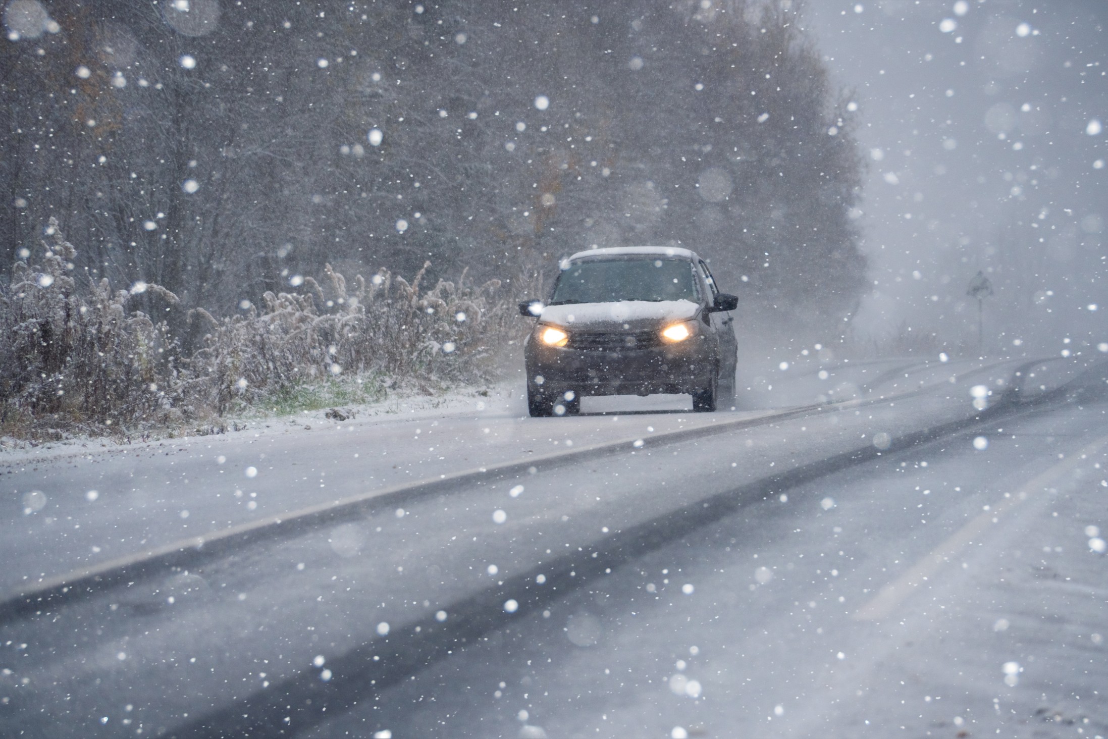
A far-reaching storm system is making its way up from the Gulf of Mexico, bringing both rain and snow to the Midwest and into the Northeast. The Great Lakes region will see this moisture kick up into Monday before it moves into the Northeast.
The moisture will combine with low clouds and fog to create times of poor visibility in a number of major cities across the eastern half of the nation, including Chicago, Washington, D.C., Philadelphia, and New York City. Not only could this impact travel on the roads, but travelers should also anticipate the chance of flight delays.
A shot of colder air coming down from Canada late Sunday will pave the way for the development of snow across areas of upstate New York and into the far reaches of New England. Southern and central New England will see a mix of rain and snow. The top terrains of the Green and White Mountains should be prepared for 6 – 12 inches of snow by the time this weather maker exits the region.
When heading down to the lower elevations, the forecast is calling for snowfall accumulation in the range of 1 to 3 inches in an area stretching from east-central New York state and up through southern Vermont and New Hampshire. Some flakes may also fly across the northern tier of central and western Massachusetts. However, any accumulation will be slushy in nature.
How the Temperatures Will Influence the Precipitation
Temperatures will land around the freeing mark in much of the region, limiting the amount of accumulation. A dip in the temperatures will translate to the chances of more snow. How far south the bitter cold expands will determine the chances of another storm forming near the coastal areas of the Northeast heading. into Monday. Should this storm develop, it will bring in colder air and usher in a shot of snow to some communities in the interior Northeast.
The mercury will remain on the chilly side in this region with readings falling to slightly below the seasonal norm for the beginning of December. Also on deck to start the week will be a fast-moving Alberta clipper system that will menace the northern Plains, the Upper Midwest, the Great Lakes, and the Northeast during the first few days of the week. You will want to keep tabs on the development of this system if you live in this part of the U.S.
Did you find this content useful? Feel free to bookmark or to post to your timeline for reference later.

January 21, 2024

January 19, 2024

January 18, 2024