
Heavy Rain, Flooding, and Chance of Severe Weather Staring Down the Southern U.S.
January 22, 2024
Posted: April 16, 2022 9:12 am


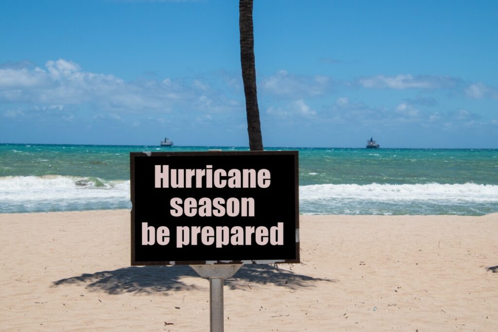
The short of it is that the experts are expecting another active hurricane season with a strong chance of early season development. This means that now is the time to educate yourself and prepare for what may be in store if you live in the potential impact zone.
The 2022 Atlantic hurricane season looks to be picking up where the last two seasons left off. The historic 2020 season set a new record for the number of named storms with 30 total named tropical events. This season was followed up with 21 named storms in 2021, notching its name in the history books as the third most active on the record books. Both seasons saw so many named storms that authorities needed to go through all of the storm name list. The last time that a season came in with a below average number of named systems was in 2015, pointing to the growing intensity of tropical weather events in this region of the world.
The general consensus is that the 2022 year will experience an above average number of named storms as well as a greater than usual chance that a major hurricane could strike the U.S., Puerto Rico, or the U.S. Virgin Islands.
Experts are predicting between 16 and 20 named storms with six to eight of these registering as hurricanes. Of that latter number, three to five are predicted to land as the major hurricane designation of a Category 3 storm or higher. These numbers come in well above the 30-year average of 14 named storms per year.
The National Hurricane Center (NHC) has debated changing the official start date of the Atlantic season from June 1 to May 15 because of the proliferation of early season development in recent years. This year looks to be no exception as sea-surface temperatures continue to hover above average throughout the Gulf of Mexico and in the Caribbean Sea. It is these warm waters that are predicted to fuel the storms earlier in the season.
For example, the sea-surface temperatures near the Florida Keys were coming in at about 2 – 4 degrees above average for the end of March. History has shown that water temperatures that are above normal at this time of the year signal a higher chance for early tropical development that fires up before the official start of the season.
The waters in the eastern Atlantic Ocean closer to the coast of Africa are currently much cooler. However, forecasters predict that these waters will gradually warm through the early summer months, supporting the development of multiple threats by the peak of the tropical season in August.
In addition, meteorologists are predicting strong winds over Africa to lead to significant tropical waves as the season progresses. These tropical waves are what later leads to tropical depressions and storms as they continue to strengthen and grow in size.
In fact, approximately 85% of the tropical storm development in the Atlantic basin comes from these tropical waves coming off the coast of Africa. Because of this history, forecasters pay close attention to the weather conditions in this corner of the world.
There are a number of data points and past historical trends that forecasters use to predict what areas of the U.S. will see the highest risk of direct impact of tropical weather events. For the year 2022, experts are predicting that the regions with the greatest possibility of being in the impact zone includes the southeast Texas coast stretching to the east through Florida with an emphasis on the panhandle of the Sunshine State. The coast of the Carolinas is another area expected to be in the line of fire this year.
Meteorologists will be paying close attention to what is known as the Bermuda Azores high, an area of high pressure that hovers over the ocean waters in this region of the Atlantic. This high and its position and strength is a strong influence on the direction of the tropical activity as it approaches the U.S. mainland.
The area of high pressure is predicted to be positioned to the west of the Azores in the first half of the hurricane season. This position will make it more likely that the storms that fire up early in the season will track closer to the U.S. However, during the second half of the season, the movement of the high pressure area to the northeast will shift the track of the storms away from the mainland.
The climate pattern known as La Niña will be a driving influencer of the 2022 Atlantic hurricane season. This pattern is determined by how the waters of the equatorial Pacific Ocean warm and cool. When the sea-surface temperatures are cooler than usual, the region is under the designation of a La Niña phase. Conversely, water temperature readings that are recorded as warmer than usual signal an El Niño phase. There is also a third neutral phase defined by average water temperatures.
During a La Niña phase, the vertical wind shear in the atmosphere is typically limited, helping to steer more storms toward the U.S. In contrast, a significant amount of vertical wind shear works to break up developing tropical events. Because the U.S. is expected to be under a weak La Niña phase at the start of the 2022 season, it makes sense that the conditions will be ripe for early season tropical development and impacts to land.
If the Niña phase intensifies over the summer, look for even more tropical storms to take root and potentially develop into hurricanes. However, if the pattern shifts back to a neutral phase, it could be a quieter end to the season.
Officials are warning people who live in areas prone to hurricanes to start their preparations now. Shortages in the global supply chain and shipping delays make it more important than ever to start preparing for the possibility of tropical weather now before it is too late. In case you were wondering, Alex, Bonnie, and Colin are the first three storm names on tap for the Atlantic basin this year.
Spread the word! Did you find this content useful? Feel free to bookmark or to post to your timeline for reference later!

January 21, 2024

January 19, 2024

January 18, 2024
