Heavy Rain, Flooding, and Chance of Severe Weather Staring Down the Southern U.S.
January 22, 2024
Posted: July 27, 2023 2:34 pm


Stormy conditions are back in the forecast for the Midwest as unsettled weather will fire up along the northern tier of a heat dome that has engulfed much of the U.S. this week.
The storms will precede a cool front that will usher in more moderate temperatures for the Midwest by the weekend. Here is a look at this potentially rocky forecast.
It is going to be a scorcher of a few days in the Midwest prior to the arrival of a cold front coming down from Canada. Before the cooler and calmer weather arrives in the Midwest, the region will see the chance of widespread storms.
The storms will be fueled by the extreme heat already in place across the nation’s heartland. Many communities have seen the hottest weather of the year over the last few days with temperatures approaching the triple digits.
The greatest amount of storm action will take place on Saturday as the front makes its way to the south and clashes with the hot and humid air already in place. The merger of these competing air masses will create the towering clouds that fuel storm development.
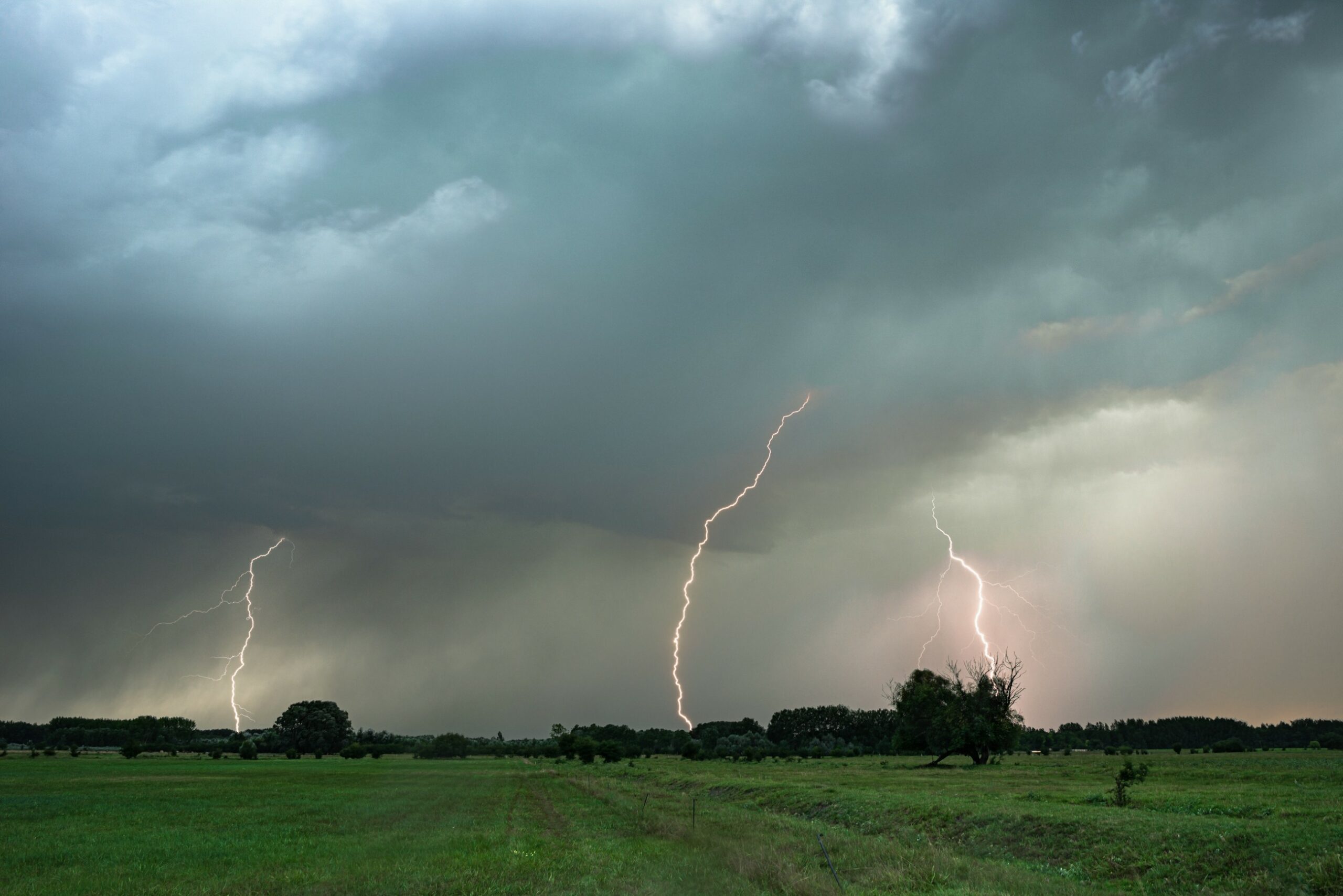
These storm cells will bring the usual impacts, including heavy rain, frequent lightning strikes, and hail large enough to cause damage to vehicles and crops. The high winds could be the most notable feature of these storms with forecasters predicting that some gusts may eclipse 70 mph.
Torrential rain could also trigger urban flooding. Rain could fall at a rate of 1 – 2 inches per hour in the hardest hit communities. You also cannot rule out the chance of an isolated tornado or two.
Before Saturday’s main event, there will be the chance of more storm activity on Thursday night. The primary impact zone for Thursday’s weather event will be across the northern and central portions of Minnesota and across into Michigan’s Upper Peninsula.
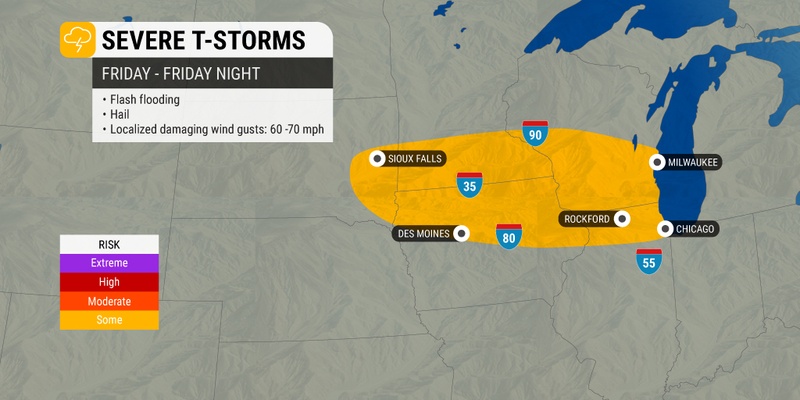
By Friday, the storms will set up across southern South Dakota and down into Nebraska. The storm cells will then spread into the Lower Peninsula of Michigan. Friday’s storms could impact travel along some areas of interstates 80, 90, and 94.
Air travel could also be affected in the busy hubs of Chicago and Detroit. Be sure to check your flight status if you are flying into, out of, or through either of these cities on Friday.

This is the same general area that experienced a complex of severe storms that hung on for hours on Wednesday. The line of storms moved through 300 miles, starting along the southwestern shore of Lake Michigan and extending all the way to the southern shore of Lake Erie.
The National Weather Service (NWS) is currently examining the data to discern if this event qualified as an official derecho.
Some of these potent storms may reach the Interstate 70 corridor stretching across Illinois, Indiana, and Ohio by Friday night. Residents in western Pennsylvania and New York may also get a taste of these storms by the time that the day is over.
The rising temperatures on Saturday will once again create the widespread storms that expand from the Midwest and into the Northeast and beyond. You can expect the severe weather to first fire up in southern Indiana and northern Kentucky before igniting in parts of Ohio and the western edge of West Virginia.
The eastern edge of the storm cells will impact parts of Pennsylvania, Delaware, Virginia, and New Jersey. The southwestern corner of New York state and southern New England will also see the potential of severe storms on Saturday.
Sunday’s action will center farther to the south across Kentucky and Tennessee. The northern High Plains may also be at risk of seeing another round of thunderstorms as the cool air becomes more entrenched.
The good news for those that are tired of the heat is that there will be a noticeable change in the high temperatures as the front sweeps down through the region. The mercury will fall about 10 to 15 degrees across the Midwest, the Great Lakes, and the Ohio Valley. Overnight lows will also fall considerably, bringing more relief after the sun goes down.
One area of concern for forecasters lies in the air quality. While the front will bring down cooler air from Canada, it will also usher in the potential of smoke and haze from the wildfires. This will be an issue that forecasters will be keeping an eye as the weekend goes on.
Did you find this content useful? Feel free to bookmark or to post to your timeline for reference later.

January 21, 2024

January 19, 2024

January 18, 2024