Heavy Rain, Flooding, and Chance of Severe Weather Staring Down the Southern U.S.
January 22, 2024
Posted: July 14, 2023 12:19 pm


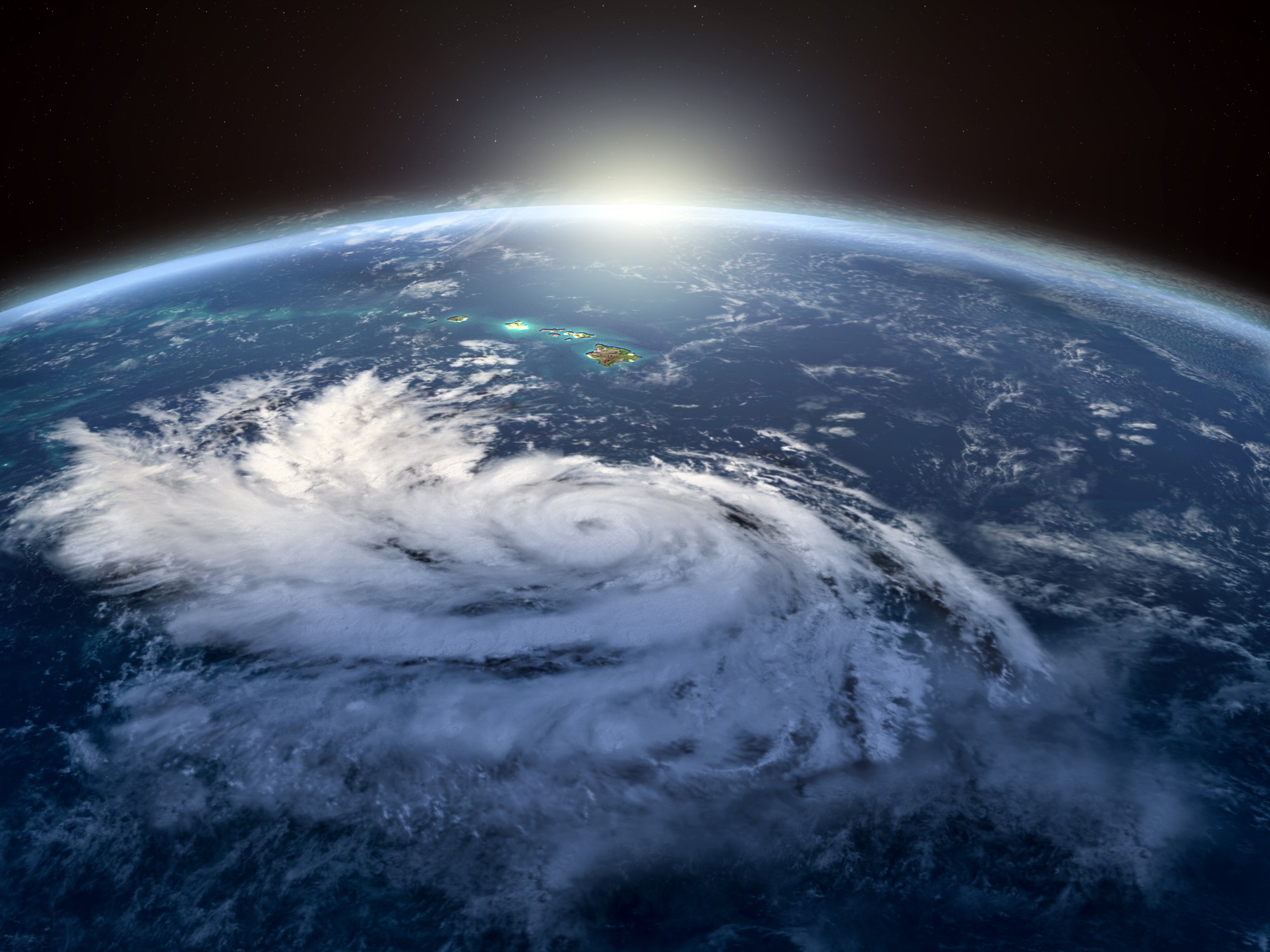
A new hurricane is heading toward Hawaii. Will it threaten the group of islands? Meanwhile, a subtropical storm has formed in the Atlantic basin. Read on for all of the details of these latest tropical developments in the tropics.
The third named storm of the 2023 Eastern Pacific hurricane season is now moving toward the Hawaiian Islands. Hurricane Calvin formed off the southwest coast of Mexico, setting on course across the East Pacific Ocean. Although the storm system is not expected to remain a hurricane as it inches closer to Hawaii, the group of islands will still feel the impacts.
The current models predict that Calvin will intensify and grow as it moves into warmer ocean waters in the coming days. The feature initially came together on Tuesday as a tropical depression. The depression was able to find favorable conditions for growth on Tuesday and Wednesday.
In addition to the warm sea surface temperatures, the feature was able to strengthen due to a lack of wind shear.
Tropical Storm Calvin was able to form out of this depression, eventually moving into the designation of a Category 1 hurricane on Thursday morning. By Thursday evening, Calvin had strengthened into a Category 2 storm.
The storm is moving to the west at a clip of 16 mph. Hurricane Calvin is packing maximum winds of 110 mph as it churns about 1,000 miles away from the southern tip of the Mexican state of Baja California.

Forecasters had been watching this storm since early in the week, warning that it would likely undergo a process of rapid intensification. This prediction came to fruition over the last 48 hours. Calvin is expected to remain at a Category 2 designation through Friday.
However, the system will start to lose its intensity as it speeds toward Hawaii and encounters cooler waters. The latest models surrounding Calvin demonstrate that it will bring the worst of the rain to Hawaii during the middle of next week.
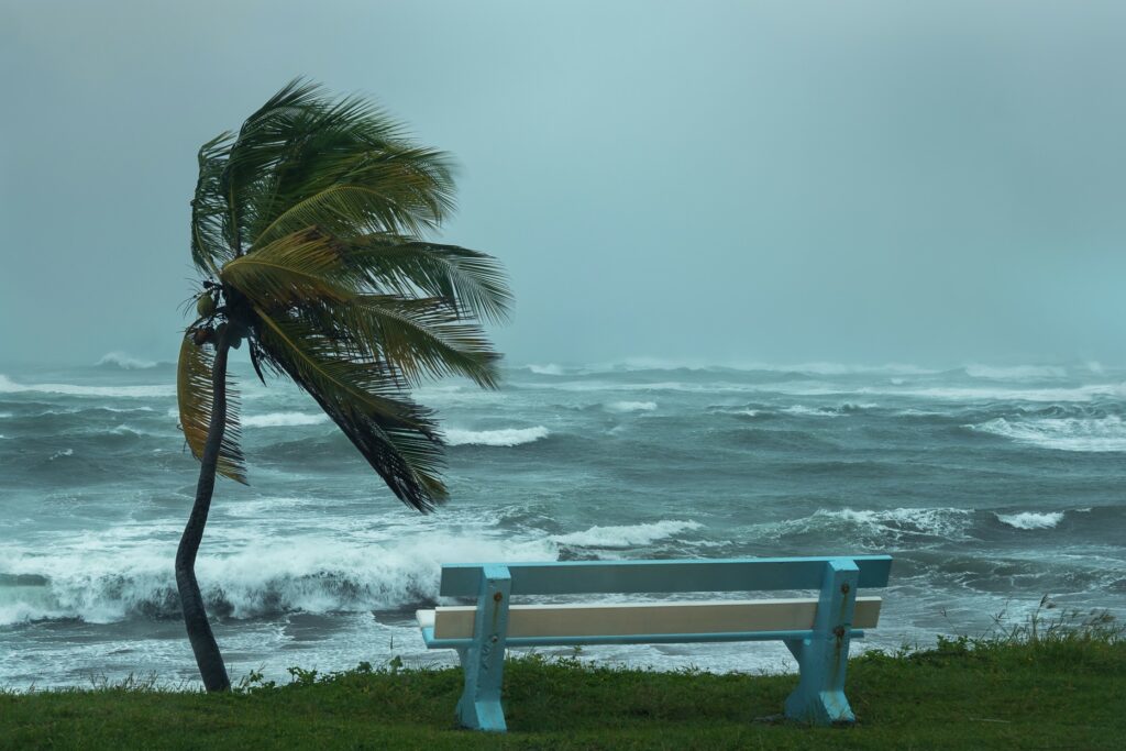
In addition to producing heavy rain bands and strong winds, Calvin will also likely create rough surf conditions and dangerous rip currents along the east-facing beaches. You will want to stay abreast of this system if your summer vacation plans call for a trip to Hawaii next week.
Calvin is the third hurricane of the year to form across both the Atlantic and East Pacific basins. The other two storms also formed in the East Pacific as the Atlantic basin remains quiet thus far.
While the East Pacific is stealing the headlines with a Category 2 hurricane, the Atlantic Ocean also saw a named storm come to life on Friday morning. Subtropical Storm Don is located over 1,100 miles west-southwest of the Azores Islands in the North Atlantic.
The National Hurricane Center (NHC) said that the area of disturbed weather became more organized across the central portions of the Atlantic on Friday morning. A subtropical storm features characteristics that define a tropical system as well as a non-tropical system, putting it in a bit of a gray area of classification.
It has been late June since a named storm spun around in the Atlantic basin. A large mass of Saharan dust combined with significant amounts of wind shear has stymied tropical developments across the Atlantic.
As of Friday morning, Subtropical Storm Don is not expected to deliver any meaningful impacts to land. However, the Azores may be under the gun for rough surf conditions through the weekend. Don is forecast to move into cooler waters in the coming days, leading to its eventual weakening.
The NHC also said there are no additional areas of concern in the Atlantic Ocean as the Saharan dust cloud continues to hinder the development of tropical waves. Conditions are expected to become more supportive of development by the end of July.
Did you find this content useful? Feel free to bookmark or to post to your timeline for reference later.

January 21, 2024

January 19, 2024

January 18, 2024