Heavy Rain, Flooding, and Chance of Severe Weather Staring Down the Southern U.S.
January 22, 2024
Posted: May 12, 2023 9:28 am


Hurricane experts are warning that the eastern and central portions of the Pacific could be in for a hyperactive hurricane season. Here is a look into what the data is suggesting.
The year 2022 brought an interesting set of circumstances to the East Pacific basin with storms that crossed over Central America from the Atlantic Ocean. The East Pacific basin is predicted to see 17 to 21 named storms in 2023, numbers that would make it an above average season for tropical activity.
Although the Central Pacific season does not officially kick off until June 1, the East Pacific start is on May 15.
Of the 17 – 21 predicted storms, 8 – 12 of these are forecast to strengthen into hurricanes with 4 – 8 becoming major hurricanes of Category 3 strength or higher.
The 2022 Eastern Pacific season recorded 19 named storms, easily above the historical average of 15 named events. Four of these storms developed into major hurricanes.
In addition to the storms that survived the journey over Central America, the season also experienced a hurricane that churned close to Southern California. Hurricane Kay first made landfall in Mexico before dumping massive amounts of rain in San Diego and beyond.
The arrival of an El Niño climate phase will be the key influencing factor of this year’s tropical activity in this part of the Pacific Ocean. This phase is known for producing warmer than average sea water surface temperatures through the eastern portion of the equatorial Pacific Ocean.
While El Niño has not arrived yet, most climate experts are predicting that it will develop by later this spring or early in the summer. The phase is also forecast to strengthen further into the fall months, just as tropical activity typically reaches its peak.
It is likely that the central portions of the Pacific Ocean will experience a decrease in wind shear as the El Niño pattern builds. This decrease will make it easier for tropical features to form and intensify as wind shear breaks apart these developments.

Cooler ocean water temperatures circulating off of the coast of California and across to Hawaii will also influence the tropical activity in the Pacific this year. This cold water will likely keep the number of tropical features in the Central Pacific hovering at around average.
However, the warmer water temperatures located off of the coast of southwest Mexico will contribute to what forecasters are predicting as an above-average season for the eastern portions of the Pacific.
When looking at data from the past with similar water temperature forecasts, hurricane experts are predicting a greater number of impacts for western Mexico and into Baja California.
This will translate to an estimate of four to eight direct impacts on Mexico and Central Mexico from tropical activity developing in the Pacific. Meanwhile, calmer conditions in the Central Pacific could mean that Hawaii largely escapes the tropical weather this year.
Forecasters are also able to look to past hurricane seasons with developing El Niño phases to offer up predictions for what the upcoming season may have in store. For instance, the years 2006, 2009, 2012, 2014, and 2018 were all years in which El Niño was emerging.
The coast of Mexico saw an atypically high number of tropical events during these years, including the formation of some major hurricanes during some of these seasons. These years also delivered more close calls with the Hawaiian islands.
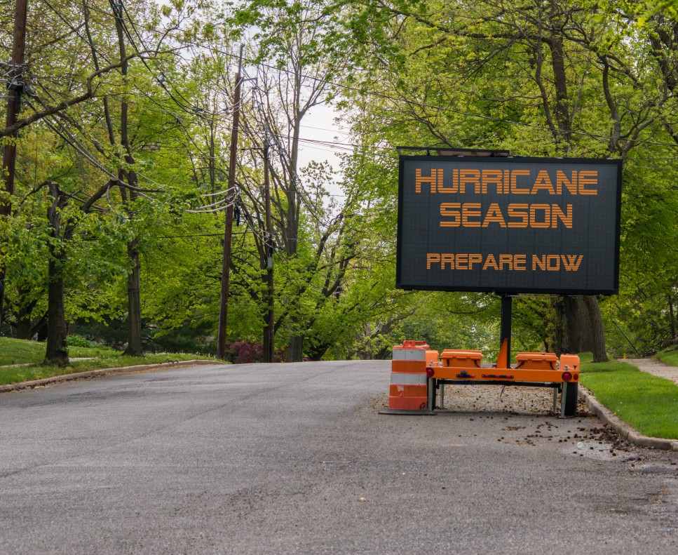
Now is the time to start planning for a potential impact if you live in this part of the Pacific Ocean. All solid hurricane preparedness plans should include potential evacuation routes and a list of nearby shelters. Keep in mind that it does not take a direct strike from a major hurricane to feel the impacts.
Even without a landfall, a storm can deliver life-threatening winds and moisture. California saw this last year when the rain left from Hurricane Kay wreaked havoc across the southern part of the Golden State.
Did you find this content useful? Feel free to bookmark or to post to your timeline for reference later.

January 21, 2024

January 19, 2024

January 18, 2024