
Heavy Rain, Flooding, and Chance of Severe Weather Staring Down the Southern U.S.
January 22, 2024
Posted: June 13, 2023 3:16 pm


The tropics have been quiet ever since Tropical Storm Arlene sprung to life in early June and threatened parts of Florida before dissipating quickly.
While there is no tropical development forecast in the coming days, hurricane experts are keeping a close eye on some areas of the Caribbean and Gulf with the expectation that activity will begin to increase by the end of the month.
Here is the latest on the situation in the tropics as the 2023 Atlantic hurricane season moves full steam ahead.
June is typically the month in which the National Hurricane Center (NHC) monitors for activity near North America and Central America. The rest of the Atlantic basin usually features strong wind shear that hinders tropical development.
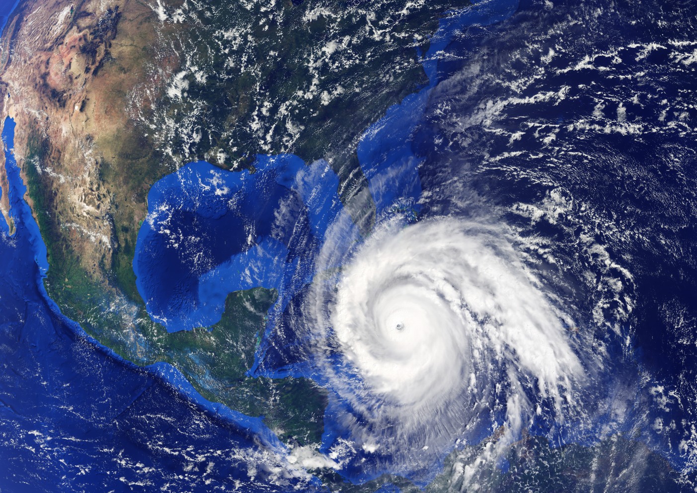
However, the western Caribbean and Gulf of Mexico tends to see storms that develop near areas of low pressure, stalled fronts, or zones with weak circulation, known in meteorological circles as gyres.
Right on schedule, tropical rain and strong thunderstorms have already started to fire up across the western Caribbean and into Bermuda over the last few days. Forecasters are predicting the this rainy weather will linger through the week.
The hardest hit ares of Cuba and the Bahamas may see up to a foot of rain through the middle of the month.
These tropical downpours could pack enough moisture to create flash flooding issues. In addition, the strong winds associated with these storms could also trigger rough surf conditions.
The good news is that all of these storms are popping along a previous stalled front. This means that there is no chance that any of these storms will develop into a tropical feature in the coming days.
A good amount of wind shear in this part of the Caribbean will also negate any chances of tropical development. Strong areas of wind shear work to cause any tropical feature from gaining intensity and size.

Forecasters will also be monitoring the Central America Gyre, an area of weak circulation in the atmosphere that generally takes root in an area stretching from the western Caribbean Sea and into the eastern Pacific Ocean. This gyre is predicted to come together over the middle part of the month.
The long-range models are predicting that the barometric pressure across the western Caribbean and southern portions of the Gulf of Mexico will drop, indicating more activity with the Central America Gyre.
The gyre has the potential of increasing thunderstorm activity near Central America and the surrounding waters. The boost in stormy conditions will pair with unseasonably warm ocean water temperatures to raise the risk of an early-season tropical event.
A handful of models are also indicating that an area of low pressure will form across the western Caribbean before moving into the Gulf of Mexico toward the end of the month. Whether this zone will find the necessary ingredients to support tropical development is still unknown.
In addition, forecasters are predicting that a tropical wave will move to the west across the Atlantic basin during the third week of June. This wave may have a chance of organizing into a named tropical storm by the end of the month when it reaches the warm waters of the Caribbean.
Water temperature readings have been trending warmer than usual in many areas of the southern Gulf of Mexico and the western Caribbean.
For instance, the waters circulating in the northwestern corner of the Caribbean Sea have been measuring in the mid 80s, well above the minimum threshold of the upper 70s that is necessary for tropical development.
The amount of wind shear present in this area of the Atlantic basin will determine if any potential features will be able to form and intensify. An easing of the wind shear could spell trouble for the region and into the U.S. coastal areas.
In addition, forecasters have noticed that there has been a greater amount of tropical wave action than is normal for this part of the season. In a typical season, the dry air and dust originating out of the Sahara Desert in Africa limits tropical wave formation in June.
However, a lack of this dust in 2023 has allowed the sun’s energy to warm up the ocean waters to a higher degree, creating a more favorable environment for tropical waves.
The next named storm to form in the Atlantic will be called Bret.
There is also the chance that tropical development could spring up in the eastern Pacific as a result of the Central American Gyre. The eastern Pacific has been calm in 2023 with no named storms on the books yet. The first name up on the list for this part of the world is Adrian.
Did you find this content useful? Feel free to bookmark or to post to your timeline for reference later.

January 21, 2024

January 19, 2024

January 18, 2024
