Heavy Rain, Flooding, and Chance of Severe Weather Staring Down the Southern U.S.
January 22, 2024
Posted: June 19, 2023 9:30 am


The heat is on for the interior Northeast and the Great Lakes just as the start of the astronomical summer officially gets started. Read on for the details of the forecast for the upcoming week in this part of the U.S.
The wet weather that has been impacting New England over the weekend will continue to move out into the Atlantic late Sunday, ushering in a drier weather pattern. The exit of the storm system will pave the way for high pressure to come back into the region from Canada.
This area of high pressure will support warmer temperatures in the coming days across the region. The warm and dry weather will be in direct contrast to the continued unsettled pattern that is impacting the Southeast.
The temperatures began the upward trajectory on Father’s Day for much of the Northeast, New England, and the mid-Atlantic. This warming trend is forecast to continue on Monday with temperatures landing a few degrees above normal for the middle of June.
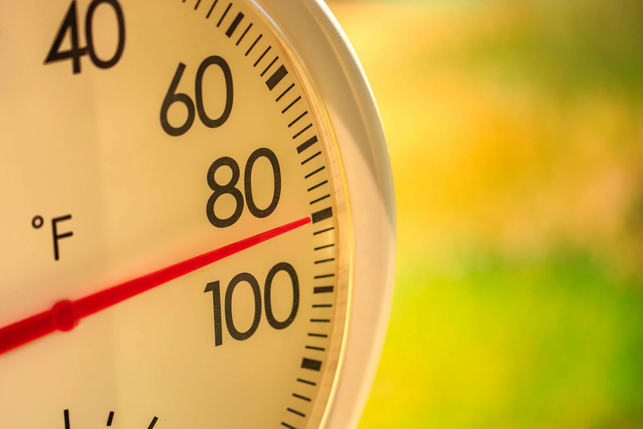
How warm will it get? Cities such as Baltimore may see the mercury hit the 90-degree mark by Monday. This reading is slightly above the historical average for this day in history.
The warmer temperatures will depart as quickly as they arrived. For instance, Baltimore will cool to the mid 80s on Tuesday with a forecast high of only 80 degrees on Wednesday. By Thursday, you can expect the temperature to drop back to the upper 70s.
The area of high pressure will track to the north by Tuesday, bringing an end to the hot weather in the mid-Atlantic. After seeing a high of around 90 degrees on Sunday, Charlotte is forecast to drop into the low 70s for the middle part of the week for daily high readings.
This weather pattern is unseasonably cool for this part of the nation heading into the start of summer.
This large mass of high pressure is expected to stretch over the Great Lakes, ushering in drier conditions as well as warmer temperature readings. The highest readings will be focused on the Midwest with temperatures hovering in the low 90s.
Cities that can expect the mercury to come close to eclipsing the 90-degree mark by the middle of the week include Columbus, Ohio and Lansing, Michigan.
These temperatures will be as much as 15 degrees above the historical average for some areas. For instance, the average temperature this time of the year in Bangor, Maine land in the mid 70s. Highs for this coastal community will reach the low 90s on Thursday and Friday as the heat continues to build.
The unseasonable warmth can be credited to a northward bulge in the jet stream. This bulge will support the presence of the high pressure over the area for the next several days, keeping the moisture and cool temperatures at bay.

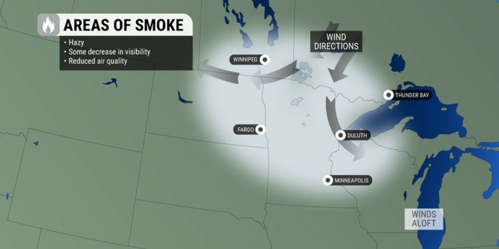
Unfortunately, the warmth will also translate to a greater chance of wildfire smoke for the Midwest and interior Northeast. The steering winds associated with this weather pattern will bring the smoke down from Canada and create the chance of hazy conditions for a large swath of the northern U.S. throughout the week.
The smoke was an issue over the weekend for cities such as Cleveland and Pittsburgh. Both of these communities saw unhealthy air quality levels as the wind patterns sent the smoke from Quebec into the area.
Forecasters warn that this smoke may stretch as far as the Ohio Valley and mid-Atlantic this week. Be sure to stay on top of the air quality levels in your area if you are in the potential impact zone. This awareness is particularly important if you are part of a vulnerable population.
Looking ahead to the long-range forecast, the dome of the high pressure is predicted to remain intact through next weekend. This will create more concerns for the growing drought in this part of the country.
According to last week’s report from the U.S. Drought Monitor, portions of Ohio, Iowa, Minnesota, Illinois, Wisconsin, Michigan, and Indiana are currently under some level of moderate to severe drought.
Forecasters are offering a glimmer of hope with storms expected to fire up again in the Plains and the Midwest by the end of June. The long-range forecast is also calling for a series of cold fronts to sweep down from central Canada and across to the East Coast, potentially providing some drought relief.
Did you find this content useful? Feel free to bookmark or to post to your timeline for reference later.

January 21, 2024

January 19, 2024

January 18, 2024