Heavy Rain, Flooding, and Chance of Severe Weather Staring Down the Southern U.S.
January 22, 2024
Posted: March 29, 2023 9:30 am


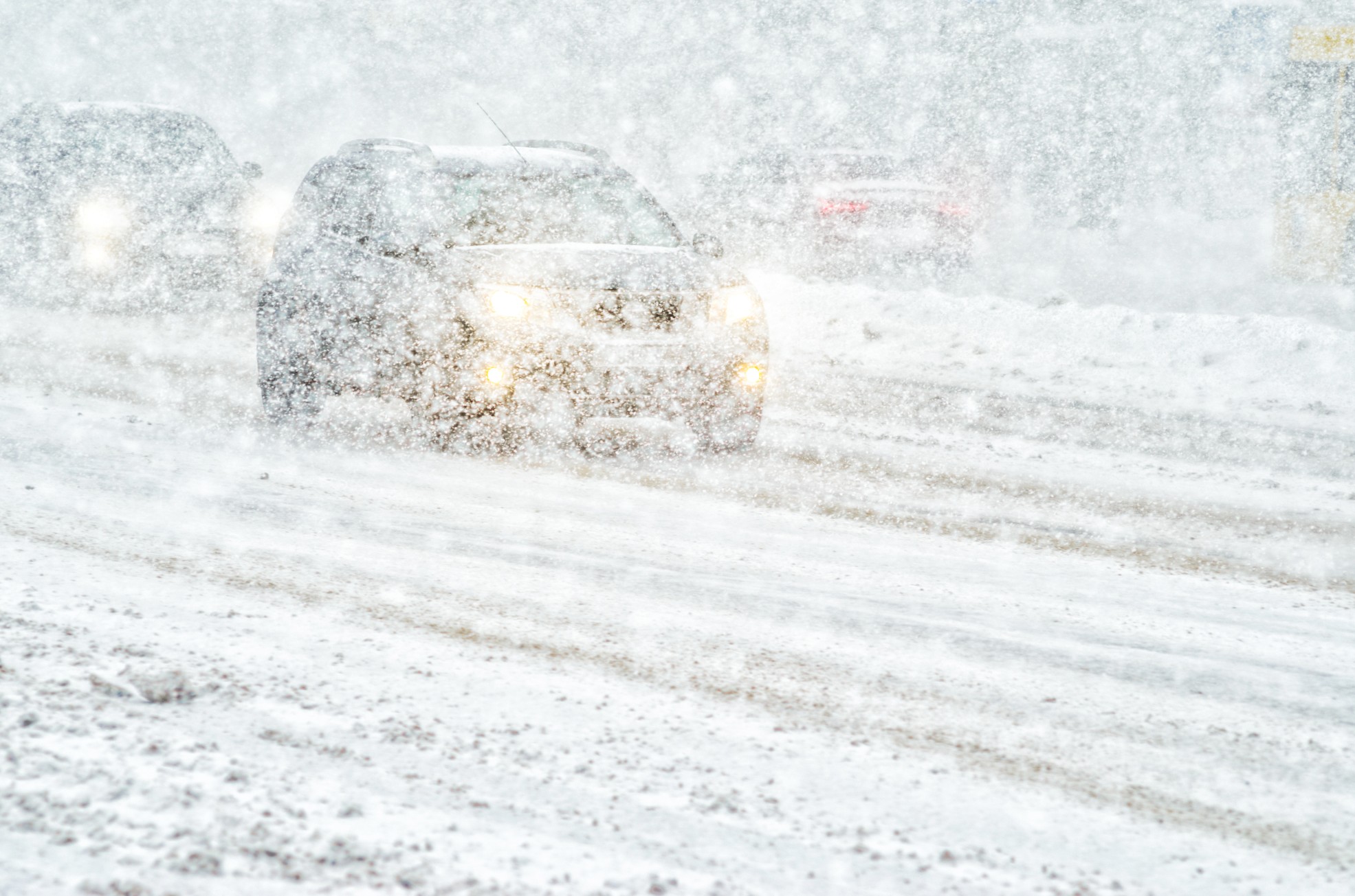
While a large portion of the Mississippi Valley is dealing with the prospects of severe weather by the end of the week, the same weather maker will be generating snow, strong winds, and blizzard conditions for the north-central U.S. These impacts could create dangerous travel conditions in an area stretching from the northern reaches of Nebraska into Michigan beginning late Thursday and continuing into the weekend. Here is what you need to know if you live in this part of the country.
The multi-faceted storm will come together as the remnants from the latest weather maker in California finds more energy as it moves over the Great Plains on Thursday. The system will track to the northeast by Friday, finding cold air entrenched in the Upper Midwest. While the temperatures are not particularly frigid by winter standards, it will be cold enough to produce a significant band of snow throughout eastern Wyoming and South Dakota, into northwestern Nebraska, and across to Minnesota and the northern portions of Wisconsin and Michigan.
Forecasters are still honing in on their predictions, waiting to see how quickly the system is able to intensify as it moves to the northeast. Should this intensification take place at a fast clip, the storm will be powerful enough to create blizzard conditions on its northwestern edge.
It is important to note that this storm may be enough to significantly disrupt travel even if it does not take on the officially defined characteristics of a blizzard. According to the parameters set by the National Weather Service (NWS) a blizzard is defined as winds hitting 35 mph with visibility at one-quarter of a mile or less for at least three straight hours.
At this point, forecasters are predicting that the storm will go through a swift intensification period on Friday, translating to widespread heavy snow in an expansive area from South Dakota into the Michigan Upper Peninsula. An alternative scenario would push the intensification of this storm until late Friday or early Saturday, resulting in a smaller snow accumulation for the northern Plains but larger amounts for the upper fringe of Michigan.
Either of these scenarios would produce snow across portions of interstates 29, 24, 90, and 94 in the impacted areas. A widespread accumulation of 6 – 12 inches is a good possibility. Even those on the edges of the snow zone will see a few inches of accumulation by the time the storm wraps up.
Meteorologists also caution that only the line between the snow and the severe weather could vary by just a few miles, depending on where the cold air is in place. This means that a zone seeing severe weather may be just a short drive from an area experiencing snow.
One area that is calling for mercy from the snow is Minneapolis. The Twin Cities could see a few more inches of snow out of this late week storm, adding to the area’s already impressive snow total. The current winter season is now ranked eighth on the list of snowiest winters on record.
Minneapolis has seen almost twice its historical average of 47 inches of snow through late March, now sitting at 81.2 inches. The Twin Cities will need to hit 84.9 inches in order to move into the top five on the list.
Did you find this content useful? Feel free to bookmark or to post to your timeline for reference later.

January 21, 2024

January 19, 2024

January 18, 2024