
Heavy Rain, Flooding, and Chance of Severe Weather Staring Down the Southern U.S.
January 22, 2024
Posted: March 20, 2023 3:36 pm


Two separate storm systems will push across California this week, bringing more rain and snow to the already saturated Golden State. Here is what you need to know about the predicted timing and intensity of these two storms.
The first of the duo of storms began to impact coastal areas of northern and central California over the weekend, eventually pushing into the interior portions of the state. The direction of the wind will continue to bring more snow to the Sierra Nevada in the early part of the week.
Unlike many of the other weather patterns that have affected the state in recent weeks, this first storm system is not the result of an atmospheric river. However, this does not mean that the weather maker will not carry a host of risks, including flooding concerns and treacherous driving conditions because of the heavy snow. You will want to stay abreast of the changing conditions if you live in the potential impact zone.
This initial system will track to the northeast to start the work week, giving the bulk of the state a chance to catch its breath before the next storm moves on shore beginning Tuesday. This second storm is forecast to deliver even greater impacts in the form of heavy rain and mountain snow.
This second storm may develop into an atmospheric river. A long stream of moisture from the Pacific Ocean is forecast to move onshore into the central and southern portions of the state on Tuesday morning. This track will differ from the first system that primarily impacted the northern half of California.
The wide availability of moisture coming in with this stream from the Pacific will translate to heavy rain for many of the most populated areas of Southern California. For instance, Los Angeles is bracing for up to an inch of rain on Tuesday. Rainfall of this magnitude could certainly trigger flooding issues.
Downtown Los Angeles has picked up over 24 inches of rain since November. This equates to about 205% of the normal rainfall by this time of the season. The incoming weather system will undoubtedly add to this total.
Moving up the coast, Santa Barbara has seen almost twice the typical amount of rain by this point in the year. An astonishing 4.22 inches of rain on one day in January helped to get the year off to an exceptionally wet start for this coastal resort city.
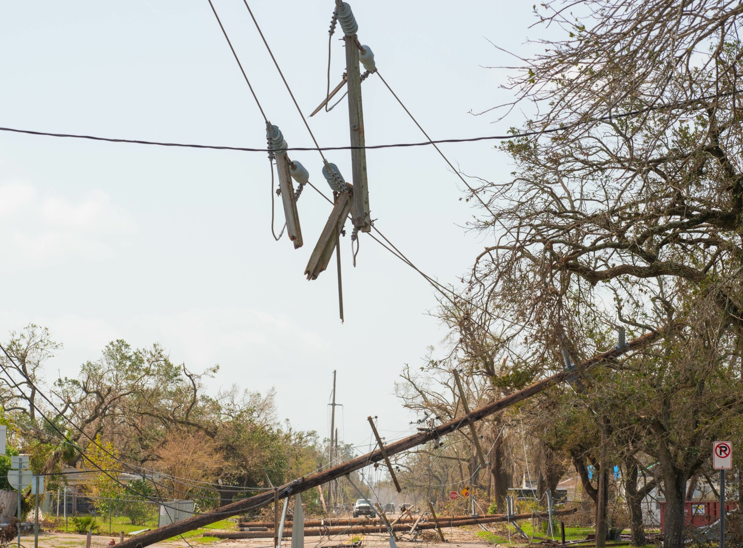
This amount of rain has caused a host of complications across many communities, including downed power lines, flooding, landslides, and mudslides. However, the good news is that the soggy conditions have translated to fewer water restrictions in many parts of the state.
Together, the two storms will produce 1 – 2 inches of rain across a widespread area in the state. The high elevations could receive a few inches of rain with over 4 inches in highest terrains in Southern California.
In addition to the rain and the snow, strong winds will also push on shore along with the storm system on Tuesday. Residents of coastal areas stretching from Point Conception down through Ventura Country and up into the higher elevations outside of Los Angeles should be prepared for wind gusts that reach as high as 60 mph.
Looking ahead, the moisture associated with this storm is forecast to lighten up beginning on Wednesday. Another storm is brewing late Thursday into Friday for the state, offering up more chances of rain and snow for many communities.
One last item to note is that the state continues to crawl out of the ongoing drought. The latest data from the U.S. Drought Monitor indicates that only 36% of the state is under some designation of drought. This compares to a whopping 98% that was under this classification last fall.
Did you find this content useful? Feel free to bookmark or to post to your timeline for reference later.

January 21, 2024

January 19, 2024

January 18, 2024
