
Heavy Rain, Flooding, and Chance of Severe Weather Staring Down the Southern U.S.
January 22, 2024
Posted: May 23, 2023 9:32 am


Another week is ushering in another threat of daily storms for the central U.S. Forecasters are calling for more rain and storms this week throughout the nation’s heartland, bringing risks such as large hail and strong winds to the high plains.
A dip in the jet stream in place across the western portions of the country will pave the way for consistent storm development farther eastward in the coming days.
Warm air over the country’s mid-section and persistent moisture coming up from the Gulf of Mexico will lay the groundwork for this storm development in the Great Plains.
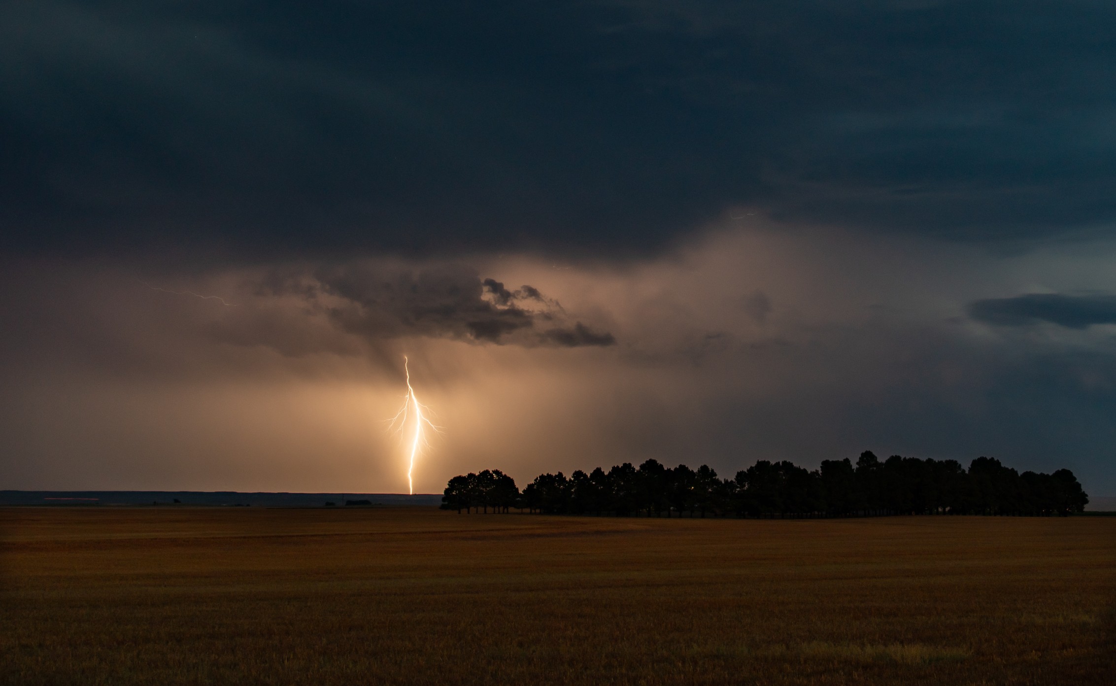
The bulk of the storm activity will be centered on northwestern Texas, the Oklahoma Panhandle, and eastern portions of Colorado. Cities in this primary impact zone include Amarillo, Texas and Pueblo, Colorado. Denver will be on the edge of the potential storms.
For instance, Amarillo is bracing for severe storms in the afternoon hours that linger into the evening before finally dying down. The forecast high for the day will land in the upper 70s with lows falling into the high 50s.
The stormy pattern will be a classic spring setup with a repeated chance of activity throughout the week thanks to instability in the atmosphere as a whole.
You can expect the storms to fire up on Monday afternoon and again on Tuesday afternoon. This early week activity risk will be the highest in West Texas and the panhandle of Oklahoma.
The biggest threat of these storms will be large hail measuring up to 2 inches in diameter. Hail of this magnitude could cause severe damage to vehicles and emerging crops.
Winds will also be an issue with these storm cells. Forecasters warn that gusts may reach up to 70 mph in some places. Be sure to keep an eye on the hourly forecast in your community if you live in this potential impact zone.
The threat of afternoon and evening thunderstorms will expand northward by the middle of the week, bringing eastern Colorado into the fold. Damaging hail will still be the biggest worry with strong winds also on the table. This is the most likely timeframe for storms to impact the Denver metropolitan area.

While the storms may prove to be disruptive to some outdoor plans this week, the moisture will provide some relief for the long-term drought that has settled in over the Plains states. Some pockets of subtropical moisture may make their way into the storms this week, helping to provide significant rain for some of the most parched areas of the Great Plains.
This part of the country has been exceptionally dry this spring. The latest report from the U.S. Drought Monitor indicates that there are large areas of extreme and exceptional drought across the Plains. These are the two most severe categories of drought as defined by this agency.
Western and central portions of Kansas, including the city of Wichita, are under the most widespread drought conditions at this time.
Looking ahead, the active weather pattern is forecast to stay in place over the central U.S. this week and into the weekend. The most likely time for storms to fire up will be in the afternoon and evening hours, making the morning the best time for outdoor activities.
The atmospheric conditions are not likely to be conducive for widespread tornadic activity, however, you can never rule out the chance of an isolated twister.
Did you find this content useful? Feel free to bookmark or to post to your timeline for reference later.

January 21, 2024

January 19, 2024

January 18, 2024
