
Heavy Rain, Flooding, and Chance of Severe Weather Staring Down the Southern U.S.
January 22, 2024
Posted: July 31, 2023 12:26 pm


A number of potentially dangerous storm impacts could affect the central portion of the U.S. in the coming days as severe weather erupts along the outside edges of a stubborn heat dome. Here is a look at this weather maker and what parts of the nation it may impact to start the week.
It was an unsettled weekend for much of the heartland as a series of potent storms moved through, bringing strong winds, hail, and flash flooding concerns.
The weather has been the result of a dome of high pressure and heat that has been positioned across the Four Corners region and the southern Plains throughout most of July. The northern periphery of this dome has been the site of frequent thunderstorms.
The heat dome is not predicted to break down any time soon, resulting in record high temperatures and rising humidity levels throughout the southern Plains. For instance, temperatures have been well over the century mark for the majority of Texas this weekend, pairing with high humidity levels to create oppressive real feel conditions.
The northern fringe of the heat dome will feature the ingredients needed to fuel thunderstorm development into the start of the new week. This line of storms will set up across the Front Range of the Rockies and extend through the Plains states and across some portions of the Midwest.
The weekend got off to an explosive start in Nebraska with a series of potent storms rolling through the state on Saturday morning. The storm cells moved to the southeast throughout the day, ushering in high winds in central Missouri and down into Kentucky.
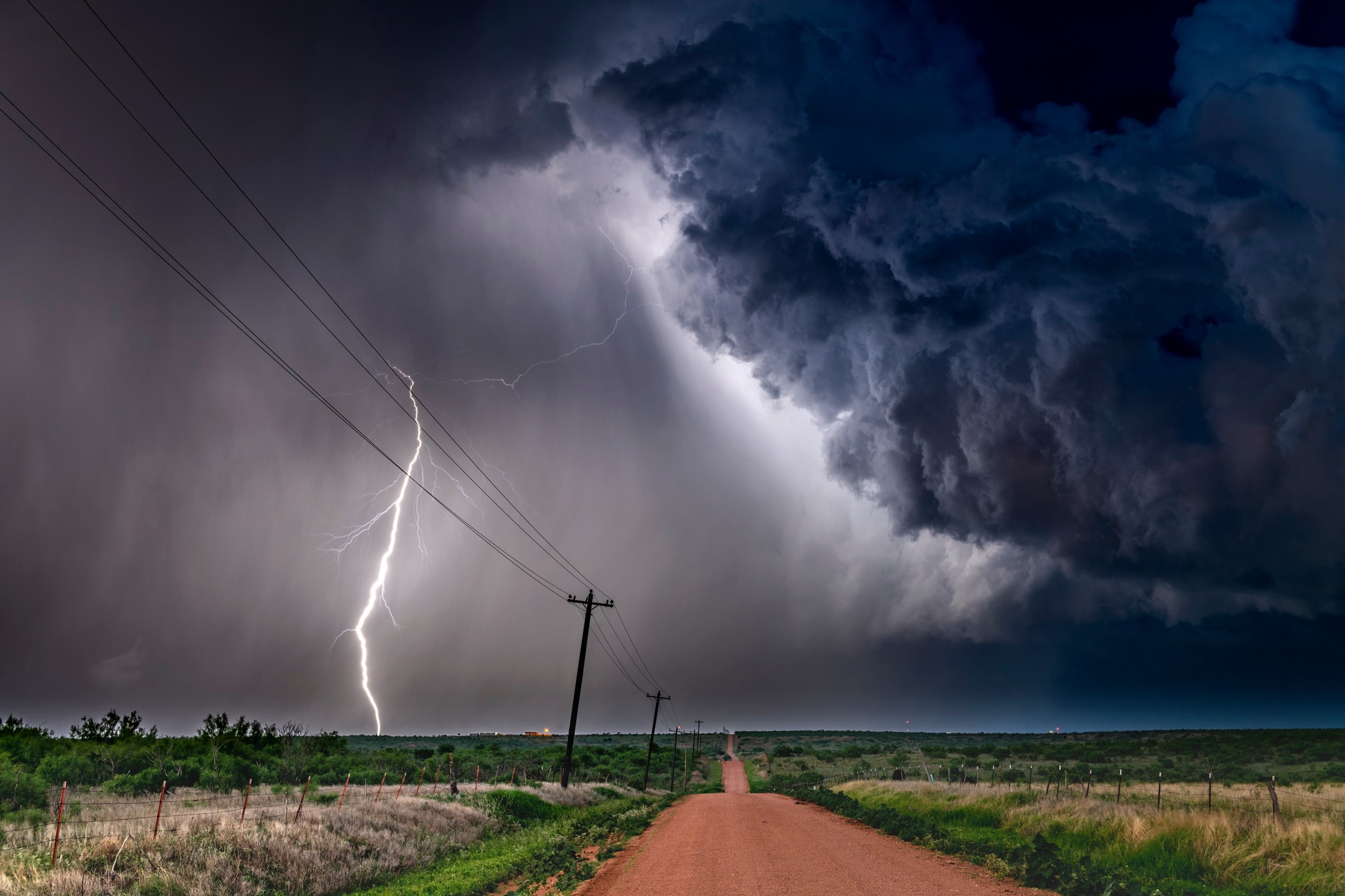
This stormy activity continued on Sunday with the primary impact zone setting up along the eastern base of the Rockies and across the northern High Plains. These cells packed damaging winds and large hail along with heavy rain. The region also spent the day under the threat of flash flooding due to the torrential rainfall.
Heading into the new week, forecasters are warning that the same general areas will see the chance of severe weather. This week’s greatest risk will come in the form of flash flooding. As the moisture from the North American monsoon season makes it way up from the Southwest, the weather maker will have more rain to draw upon and spread throughout the central U.S.
There will be two primary batches of storms on Monday. The first zone will be positioned along the northern Front Range and the Black Hills, encompassing cities such as Denver, Cheyenne, Wyoming, and Rapid City, South Dakota.
These storms could deliver wind gusts of up to 70 mph along with hail, flooding downpours, and the chance of isolated tornadoes.
As is typically the case this time of the year, the greatest risk will be during the afternoon and evening hours. However, a cold front moving down from Canada will work to trim the temperatures when compared to last week, providing a bit of relief. For example, Custer, South Dakota will top out at a high of about 80 degrees, trending cooler than is typical for the end of July.
A second zone of storms could ignite farther to the east on Monday, stretching from eastern Nebraska, the southwester corner of Iowa, eastern Kansas, and all of Missouri. The storm activity could dip as far south as northern Arkansas and parts of Tennessee, including Little Rock and Memphis.
Looking ahead to Tuesday, the storms are expected to regenerate across the same area. Cities that could see sporadic storms on Tuesday include Omaha, Kansas City, Denver, Des Moines, and Sioux Falls.
As the week continues, the continued train of storms will eventually push the heat farther to the south. As a result, you can expect storms to develop in parts of Kansas, Oklahoma, and Texas. The good news is that this movement will also bring along cooler temperatures for the nation’s mid-section.
Did you find this content useful? Feel free to bookmark or to post to your timeline for reference later.

January 21, 2024

January 19, 2024

January 18, 2024
