
Heavy Rain, Flooding, and Chance of Severe Weather Staring Down the Southern U.S.
January 22, 2024
Posted: June 13, 2023 9:30 am


Air quality conditions are forecast to continue to improve across the Northeast thanks to a slow-moving storm that will replace the wildfire smoke with rain and cooler temperatures. Here is what the Great Lakes and the Northeast can expect heading into a new work week.
While the northeastern corner of the U.S. saw a few isolated rain showers and thunderstorms last week, the moisture did not make any dent in the region’s abnormal dryness and building drought conditions. However, a new front is set to bring more significant and widespread precipitation to the region in the coming days.
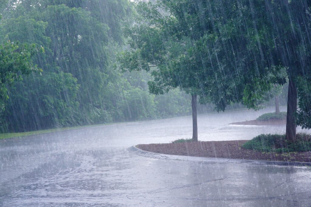
The moisture coming up from the southern portions of the U.S. will deliver a steady stream of rain to the Great Lakes and the Northeast. The rain first fired up across the Ohio Valley and Great Lakes on Sunday, making the day a washout for many cites in the area.
The cold front is expected to advance to the east on Monday, bringing a good shot of moisture to the Northeast and beyond.
The good news for Canadians is that the rain associated with this front is expected to move as far north as southern Canada, giving fire crews a helping hand as they continue to battle the massive amount of wildfires burning in the province of Quebec.
The arrival of this frontal boundary will also support the development of fresher and cleaner air for a part of the U.S. that has been plagued by poor air quality in recent days.
Some parts of the Northeast had to deal with some of the worst air quality levels in the world last week as the smoke from the fires in Canada tracked to the south.
Although the moisture will certainly prove to be beneficial for the Northeast and Great Lakes, the front will also carry the chance of severe weather. The risk of storm activity will stretch from the Carolinas and up through New York City on Monday.
Potential impacts of these storms are damaging hail, heavy rain, and strong winds starting during the afternoon hours and lasting through the overnight.
The center of the storm will move back to the south and to the west on Tuesday, putting the Great Lakes region in its sights. The rain from the weather maker may creep as far north as New England. You can expect the showery weather to last through Wednesday for the Northeast and beyond.
Thursday will bring a smaller chance of isolated rain showers and storms to the eastern U.S. By Friday, the moisture will make its way into Atlantic Canada.
In addition to the uptick in moisture, the front will also usher in cooler temperatures with readings that trend well below normal for the middle of June in the Northeast. Monday’s highs will fall about 10 to 15 degrees lower than what the region experienced on Sunday.
For instance, Columbus, Ohio will see readings drop to a high of just 70 degrees on Monday. Temperatures will climb back to near average by the end of the week. The temperature change will be less dramatic in major cities closer to the coastal areas, including Philadelphia and New York City.
Climate experts have been sounding the alarm bell in recent weeks about building drought conditions across the Great Lakes and the Northeast. Water levels across many of the region’s major waterways have been in a free fall while grass and vegetation turns brown and dry.
The upcoming rainy weather pattern should go a long way in helping to chip away at the abnormally dry conditions left behind after a month of May that saw little moisture develop.
The interior portions of Pennsylvania over to the coast of New Jersey have not see any measurable rainfall in June, a time of the year that typically sees a good amount of rain.
For instance, all of the Commonwealth of Pennsylvania is under a designation of at least “abnormal dryness” as defined by the U.S. Drought Monitor. Even more concerning is that 65% of the state is under the category of a moderate drought. Likewise, almost 85% of New York state is under the designation of being abnormally dry.
As far the air quality levels, residents in the Northeast will enjoy cleaner air at the beginning of the week. However, forecasters warn that the smoke could blow back in by the second part of the week. It is unlikely that air quality readings hit the level that they did last week.
Did you find this content useful? Feel free to bookmark or to post to your timeline for reference later.

January 21, 2024

January 19, 2024

January 18, 2024
