Heavy Rain, Flooding, and Chance of Severe Weather Staring Down the Southern U.S.
January 22, 2024
Posted: July 13, 2023 8:40 am


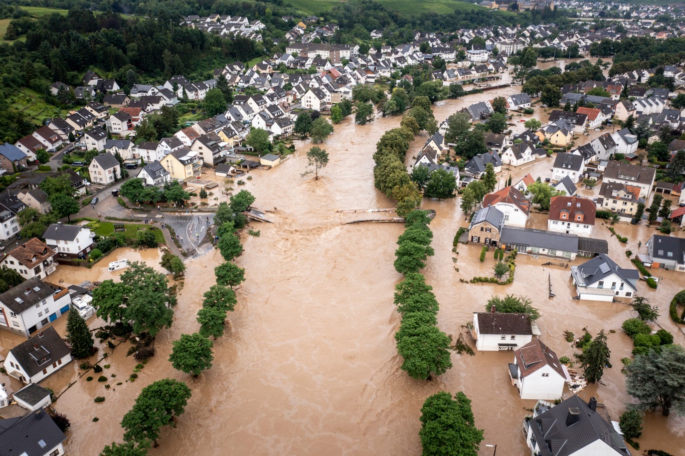
The chance of flooding rainfall this week is not over for the Northeast. Just days after record rain inundated this corner of the U.S., more moisture is making its way back into the region. The potential for even more moisture will overwhelm the already saturated grounds, raising the risk of life-threatening flooding. Here is the latest on this soggy situation.
A number of major cities in the Northeast are in the crosshairs for the chance of flooding rainfall beginning Thursday and lasting into early next week. A general 1 to 4 inches of rain is forecast to fall across much of the Northeast in the time period stretching from Thursday through Tuesday.
Rain may fall in excess of 2 to 3 inches per hour in some of the hardest-hit communities in the coming days, quickly overwhelming drainage systems. The risk of flooding will be higher in areas that took the brunt of the early week rain producer.
The rain will first get started on Thursday across the Upper Midwest before moving into the Northeast later in the evening. An abundance of moisture flowing up from the Gulf of Mexico and the Atlantic Ocean will meet with a large storm system currently anchored over Canada to produce this widespread rain event.
It will feel like deja vu for some communities that experienced rainfall rates of 1 to 3 inches per hour on Sunday and Monday. This excessive moisture is being helped along by unseasonably warm ocean water temperatures off of the coast of the mid-Atlantic region. Readings are hovering 3 – 8 degrees above what is normal for the middle of July in this part of the Atlantic.
The disturbances that are bringing stormy conditions to the Midwest in the middle of the week will slow to a crawl as they move to the Northeast. This slow movement will allow the moisture to build and unleash before moving back out to sea.
The good news is that the late week rain event is not likely to strike the exact same areas that saw the heavy rain to start the week. The upcoming weather maker is most likely to impact the Ohio Valley, the eastern Great Lakes, and parts of the Appalachians on Thursday.
By Friday, the heaviest of the rainfall will move up into New England along the Interstate 95 corridor. The southern fringe of the system will drop into the mid-Atlantic region.
Another round of moisture is forecast to move through the area over the weekend. While the major cities of Philadelphia, New York City, and Boston were largely spared the impacts of the early week rain and flooding situation, these metropolitan areas may not be as lucky this weekend. Forecasters are warning that all three of these cities may see flash flooding concerns on Saturday and Sunday.
These urban areas are more at risk of flash flooding problems when compared to rural areas. This is because cities contain more surfaces that are unable to absorb water, creating a greater chance of runoff and heightening the flooding risk.
The biggest threat of flash flooding in New York and Philadelphia will happen late Saturday and into early Sunday. Boston will see the greatest risk later in the day Sunday as the rain moves to the north. There is also the chance that the torrential rain will hit as far south as Washington, D.C.

Yet another round of moisture is on the horizon for early in the work week. On its own, this rain system will not produce an excessive amount of moisture. However, the rain that falls across the ground that is already saturated will likely trigger small stream flooding.
Rivers that have been dealing with overflow from earlier in the week will be particularly at risk as the fourth system in just one week strikes. This includes portions of the Connecticut River. One half of this basin was hit with the rain that fell last Sunday and Monday. A potentially dangerous flooding situation could unfold over the weekend if the remaining half becomes inundated with more water.
Although the rain will not be continuous over the next several days, the small burst of precipitation could put a damper on many outdoor plans. Both road and air travel could also be impacted by the persistent threat of rain.
You will want to stay abreast of all developing weather events. This is particularly important if you live near a stream or river that is susceptible to flash flooding.
The heavy rain and resulting risk of flash flooding will not be the only weather concern over the next few days. The chance of locally severe thunderstorms during the afternoon and evening hours will also be a persistent issue.
This severe weather is forecast to fire up on Thursday afternoon throughout the western and central portions of Virginia and up through the Hudson Valley, the Adirondacks, and the Berkshires. The storms may also impact the southern ridge of the Green Mountains in Vermont and across into western Massachusetts.
These storm cells will bring the usual suspects, including flash flooding, strong winds measuring up to 60 mph, and isolated tornadoes to the populated Interstate 95 corridor. The string of weather disturbances will continue to push through the Appalachians, the eastern Great Lakes, and the mid-Atlantic coastal areas through the weekend and potentially into early next week.
Did you find this content useful? Feel free to bookmark or to post to your timeline for reference later.

January 21, 2024

January 19, 2024

January 18, 2024