Heavy Rain, Flooding, and Chance of Severe Weather Staring Down the Southern U.S.
January 22, 2024
Posted: June 9, 2023 9:30 am


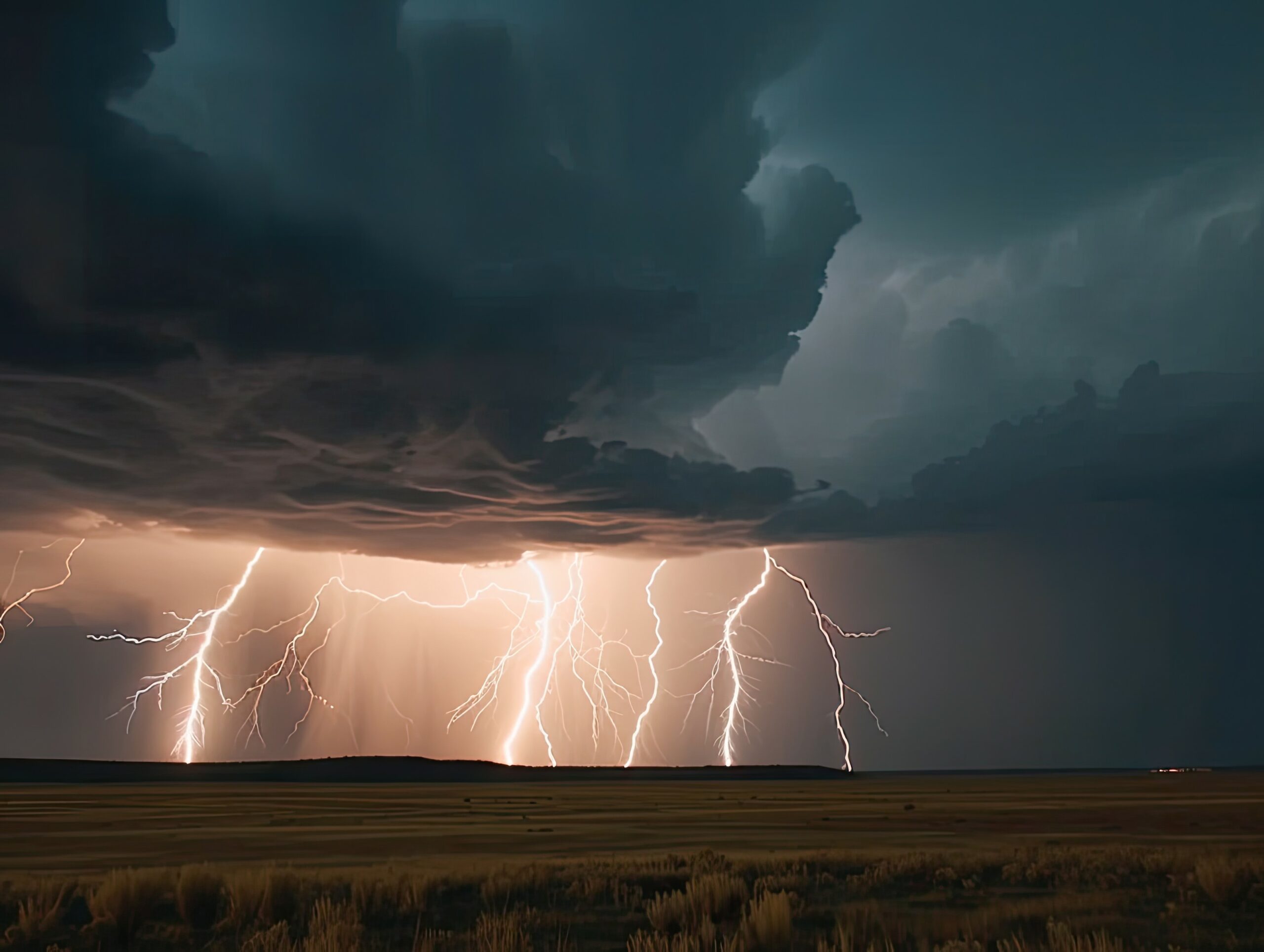
The nation’s heartland will once again be the target of severe storms well into next week. While this week was relatively quiet for this part of the country, forecasters are warning that the storm machine will fire up again on Friday, bringing the risk of damaging winds, hail, and heavy rain to the Plains and beyond.
Here is what you need to know.
The central U.S. will see an organized severe weather system develop on Friday and into the weekend, projected to hang on through the middle parts of next week. Building temperatures and more moisture will set the stage for this development across a wide swath of land stretching from Texas up into Illinois.
A fresh injection of summertime heat, moisture and atmospheric energy into the Plains and Midwest will help trigger the thunderstorms, which will occur in clusters in various areas from Texas to Illinois each day through the middle of next week.
Some of the storms will be capable of producing damaging winds and hail, as well as torrential rain which can lead to flash flooding.
The first line of storms will form over parts of the southern and central Plains and into Louisiana and Arkansas. Friday’s most significant threat will be located in the Texas Panhandle, Oklahoma, Kansas, and Colorado. Cities in the line of fire include Lubbock, Oklahoma City, and Wichita.
A lack of flow in the atmosphere will translate to the storms moving at a slow pace. This means that any storm can bring a heavy amount of rain over a short period of time, increasing the risk for flash flooding. Motorists need to be particularly careful in low-lying areas and across land with poor drainage.
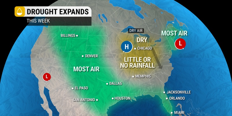
The ground has been particularly dry in areas of western Kansas. According to the last data release from the U.S. Drought Monitor, almost half of the Sunflower State is under the designation of a severe or exceptional drought.

The storms will pick up speed by Saturday with the primary impact zone moving to the east and into central and eastern portions of Oklahoma, the northeastern corner of Texas, Arkansas, and Louisiana.
Cities expected to take the brunt of any severe weather include Tulsa, Dallas, Fort Worth, and Shreveport. Travelers will want to check the local forecast if driving on interstates 20, 30, 25, 40, and 45.
Saturday’s storms will bring the chance of large hail and destructive winds. Isolated tornadoes are also in the realm of possibility.
Conditions should be calmer on Sunday and heading into early Monday morning. However, that will all change again by later in the day Monday.
According to meteorologists, the biggest risk of severe weather over the next several days will likely happen on Tuesday and Wednesday of next week.
The storm cells will extend in a line from the Plains and into the mid-Mississippi Valley and Ohio Valley, moving to the north and east. These storms will include a higher risk of tornadoes as well as the usual threats.
Forecasters say that the clash of two air masses will provide the energy needed for these storms to develop, potentially leading to some of the worst weather impacts that the region has experienced in several weeks.
The storms will get going when a robust jet stream sets up over the Plains and collides with the hot and moist air coming up from the Gulf of Mexico.
At this point, forecasters are not able to predict exactly where the storms will unfold. However, it is likely that about 10 states will be under the gun for severe weather during the afternoon hours of both Tuesday and Wednesday.
Likely metro areas that should be prepared for this weather maker include Little Rock, Indianapolis, Nashville, and St. Louis.
While the western Plains has seen plenty of storm activity over the last few weeks, this part of the country has been left mostly high and dry. This is a good time to review your severe weather plans and to ensure that all smartphone notifications are enabled so that you receive all pertinent alerts.
By the end of the week, the potent storms are expected to move to the east and bring impacts to the Southeast and Northeast. You will want to stay tuned to this forecast as it develops in the coming days.
Did you find this content useful? Feel free to bookmark or to post to your timeline for reference later.

January 21, 2024

January 19, 2024

January 18, 2024