Heavy Rain, Flooding, and Chance of Severe Weather Staring Down the Southern U.S.
January 22, 2024
Posted: July 3, 2023 11:40 am


More severe weather is on tap to start the new week, possibility putting a wrench in outdoor plans surrounding the Fourth of July holiday. What areas will the storms target on Monday and Tuesday? Read on for the details.
It has already been an active weekend of weather for a large swath of the U.S. According to the National Oceanic and Atmospheric Administration (NOAA), there have been nearly 700 incidents of strong winds over the last few days. Monday afternoon and evening will bring the threat of severe weather to over 50 million Americans living in the eastern and southern portions of the nation.
This includes the populated cities of New York City, Washington, D.C., Philadelphia, Atlanta, and Charlotte. Forecasters are warning that road trips and air travel could be severely impacted by the constant parade of storms in the coming days.
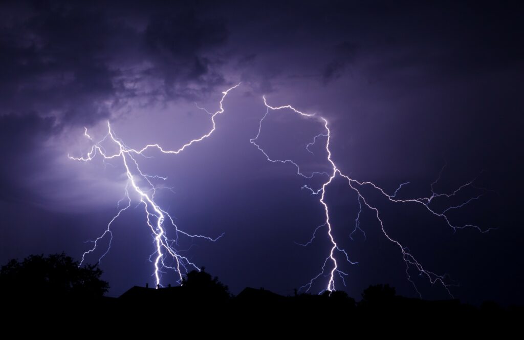
In addition to heavy rain, the storms will likely produce frequent lightning strikes. It is important to monitor the weather in your area and seek protection indoors if you hear thunder in the distance.
The storm cells will also pack strong winds with some gusts hitting up to 70 mph. Winds of this magnitude will be powerful enough to possibly bring down power lines and trees. It was just a few days ago that over 500,000 customers lost power in the middle Mississippi Valley and into the Southeast as a result of potent storms.
Heavy rain will bring reduced visibility to the region. Campers and other families headed out for outdoor adventures will want to pay heed to the chance of rising floodwaters. The greatest risk of small stream flooding will be across the southern Appalachians.
The lower mid-Atlantic and the southern portions of the U.S. will be under the threat of storms on Independence Day. A mass of dry air coming down from the Great Lakes and Canada will act as a buffer across the Northeast on Tuesday, forecast to keep the storms at bay for this corner of the country.
This forecast will translate to dry but warm conditions for the Macy’s 4th of July Fireworks spectacle in New York City and the Boston Pops Fireworks show over the Charles River.
It will be a warm and humid day in Washington, D.C. Festival goers on the National Mall can expect temperature readings still hanging out in the low 80s when the nighttime spectacular gets started.
Instead, the largest area of moisture will settle over the Delaware Bay and into the lower Mississippi River. These storm cells will bring a number of impacts, including locally gusty winds, torrential rain, and frequent lightning strikes with the most activity popping up during the afternoon and evening hours.

You can also expect a new line of storms to form over the north-central U.S. on Monday and Tuesday as an area of cooler air comes down from Canada and merges with the warm and humid conditions already in place over the region. Forecasters warn that sudden lightning strikes could pose the most danger with these cells.
There is also a danger of hail as large as golf balls coming down with these storms. Lastly, the expected storms in the central and eastern U.S. also come with the threat of isolated tornadoes or waterspouts.
A secondary zone of potential storm development on Tuesday will stretch from the eastern edge of Oklahoma across to Georgia and the Carolinas. This will put cities such as Atlanta and Nashville on guard for potential storms putting a damper on the holiday.
While the heat has eased in Texas and the rest of the southern Plains, it is now the West that is baking under the hot July sun. It will be a hot holiday in areas such as Portland and Seattle. However, dry conditions will usher in ideal fireworks viewing.
Temperatures will climb well above the seasonal norm for cities along the Interstate 5 corridor. For instance, Seattle can expect the mercury to soar to near 90 degrees, about 15 degrees above the historical average for the beginning of July. The temperatures will climb into the lower 100s in Medford, Oregon.
After a cooler than usual start to the season, Las Vegas will likely see its fifth straight day of readings in the triple digits by Tuesday. Sin City recently recorded its longest streak ever of days that did not eclipse the 100-degree benchmark.
The good news in California is that an easing of the drought conditions will provide the opportunity for some communities to enjoy fireworks for the first time in years. Many areas of the Golden State had instituted bans on fireworks in recent years because of the risk of wildfires. An exceptionally wet winter and spring has provided great relief to the drought-stricken West.
Did you find this content useful? Feel free to bookmark or to post to your timeline for reference later.

January 21, 2024

January 19, 2024

January 18, 2024