Heavy Rain, Flooding, and Chance of Severe Weather Staring Down the Southern U.S.
January 22, 2024
Posted: July 2, 2023 7:39 am


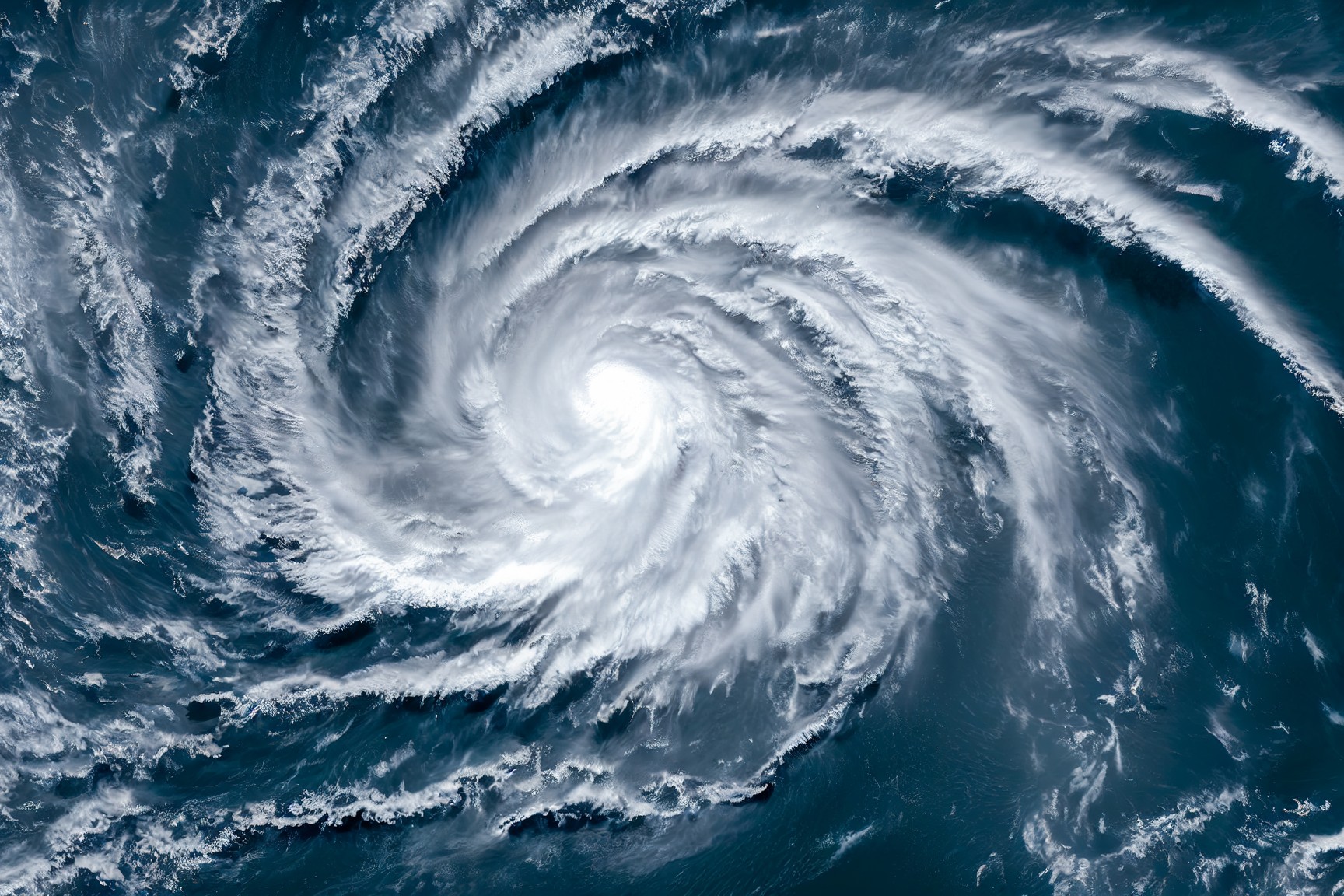
It was a slow start to the Eastern Pacific tropical season but the activity has cranked up a notch in recent days with the formation of two hurricanes. Both hurricanes have since been downgraded to tropical storms as they move through the Pacific basin over the weekend. Here is the latest on the tropical activity happening in this part of the Pacific.
Adrian was distinguished as being the first named tropical feature of the 2023 Eastern Pacific season when it sprung to life on Tuesday. Beatriz formed just one day later, putting hurricane watchers on high alert after an uncharacteristically slow first six weeks of this season. While both systems briefly reached hurricane status, they did not remain at this strength for long.
By Saturday, Tropical Storm Beatriz was churning just a few miles off the coast of Cabo Corrientes, Mexico, an area located south of the popular tourist spot of Puerto Vallarta. Beatriz is forecast to hang on at a tropical storm status through Sunday as it moves to the northwest.
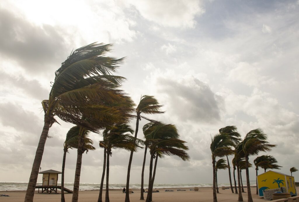
This storm will bring tropical moisture and strong winds for a large area of Colima, Jalisco, and Michoacan. However, Beatriz will make a rather quick exit with conditions expected to improve by late Sunday. Beatriz peaked at a Category 1 hurricane, bringing impacts to both Puerto Vallarta and Manzanillo. The busy town of Acapulco dodged most of the impacts.
Beatriz is not likely done yet. What is left of the storm will move near the southern tip of Baja California late Sunday. The storm will then head out into the open waters of the Pacific and begin to lose intensity before falling apart entirely later in the week.

As Beatriz gears up to make its second approach near land, Tropical Storm Adrian is forecast to remain out at sea. The weather maker is churning a few hundred miles west of where Beatriz is positioned. Adrian lost its hurricane strength status on Saturday when it encountered colder ocean water temperatures. More cold water in its path will help to diminish it even further throughout Sunday and into early next week.
Adrian intensified from a tropical storm on late Thursday into a Category 2 hurricane by early Friday, boasting maximum sustained winds of 105 mph. The storm had a well-defined eye as it picked up strength.
Although Adrian is not expected to impact any major areas of land, the swells from this system will merge with the impacts from Beatriz to produce dangerous rip currents and rough surf conditions up and down the Mexican coastline and the Baja California Peninsula.
Forecasters are warning that residents and interests in this part of the Pacific basin should not get complacent despite the slow start to the season. With an official start date of May 15, it took about six weeks for any named storms to form. However, the quiet start could soon turn hyperactive, according to some hurricane experts.
Most experts are predicting between 17 and 21 named storms this year, above the normal number of 15 over the course of a season. The presence of the El Niño climate pattern will likely translate to lower amounts of wind shear, helping to keep more tropical systems intact. The season officially ends on November 30.
Did you find this content useful? Feel free to bookmark or to post to your timeline for reference later.

January 21, 2024

January 19, 2024

January 18, 2024