Heavy Rain, Flooding, and Chance of Severe Weather Staring Down the Southern U.S.
January 22, 2024
Posted: May 31, 2023 9:30 am


Although the official start of the astronomical summer is still a bit over three weeks away, it will certainly feel like the hottest season of the year this week for most portions of the Midwest and Northeast.
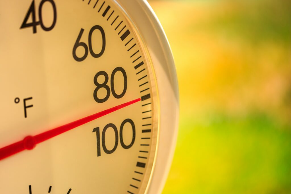
A warming trend is in store for the eastern half of the U.S., set to deliver some of the hottest weather so far this year. Here is a look into this forecast, including just how hot you can expect it to get.
The warmth is arriving just in time for the start of the meteorological summer, encompassing the months of June, July, and August. The dry pattern will also continue this week for this part of the country with little to no rain in the forecast beyond the storms developing in the High Plains.
The lack of moisture making the soil drier than usual will help to accelerate the heating process.
Unfortunately for this area that is begging for precipitation, the latest report from the U.S. Drought Monitor is reporting that the drought conditions are expanding across the northeastern quarter of the country. These dry conditions will make it seem warmer than if the ground was holding moisture.
It is going to be another dry week for the Great Lakes and Northeast with little to no chance of rain in the picture. The massive storm that took on tropical characteristics in the Atlantic before moving into the Southeast and Virginia over the long weekend will die out before it hits the Northeast on Wednesday.
In addition, a large area of high pressure will encourage the mercury to rise across the Midwest and the Northeast in the coming days, with temperatures reaching the peak at the end of the week.
The northern portions of the Northeast will see the biggest departure from average temperatures.

Temperature readings will climb into the 90s by Thursday for some parts of northern New England. Manchester, New Hampshire is forecast to hit 93 degrees on Thursday under a bright blue sky.
The chance of thunderstorms in the afternoon on Friday will not do much to suppress the temperatures as the city braces for a high of 92 degrees. This part of the nation rarely sees temperatures of this magnitude.
The heat-island effect present in larger metropolitan areas will translate to temperatures that are more typical of the middle of the summer. You can expect the mercury to come close to hitting the 90-degree mark in cities such as New York City, Washington, D.C., Philadelphia, Pittsburgh, Detroit, and Chicago on Thursday and Friday.
Those cities located near a significant body of water may experience a slight cooling effect near the shoreline thanks to the breezes that come up off the water.
New York City is forecast to fall just short of 90 degrees on Friday, topping out at 89 degrees. A bit of clouds at the end of the week will also likely keep Washington, D.C. in the upper 80s.
Detroit is predicted to inch up to 90 degrees to close out the work week with Chicago remaining in the 80s in large part thanks to the breezes coming off from Lake Michigan.
It will also be a warm few days for most of the state of Pennsylvania. Pittsburgh is expecting temperatures to eclipse the 90-degree mark on Thursday, Friday, and Saturday. This part of the state does not usually see the first 90-degree day until June 22.
Philadelphia will also likely see its first 90-degree of the day of the year this week. Friday looks to be the best bet for hitting this benchmark in the City of Brotherly Love.
The ongoing drought will contribute to the soaring temperatures, particularly in urban areas. This is because areas with an abundance of paved surfaces and concrete will heat up more quickly.
In addition, these areas will also hold on to the warm temperatures after the sun goes down.
Conversely, the dry air circulating in the rural areas will support cooler temperatures overnight. This means that urban areas will see significantly warmer readings than some of the more rural or suburban parts of the region.
Looking ahead to the weekend, forecasters are predicting that the southward dip in the jet stream will bring in cooler temperatures to the Northeast and beyond. However, there still does not appear to be any significant moisture events on tap for this part of the country.
Did you find this content useful? Feel free to bookmark or to post to your timeline for reference later.

January 21, 2024

January 19, 2024

January 18, 2024