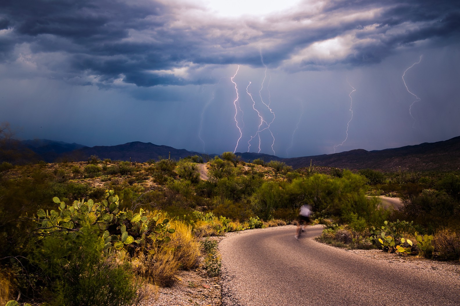
Heavy Rain, Flooding, and Chance of Severe Weather Staring Down the Southern U.S.
January 22, 2024
Posted: May 15, 2023 12:30 pm


A pattern of spring storms is forecast to set up across the Southwest this week, marking what some may see as an early start to the rainy season across this corner of the country.
Will this week’s rain be an indication of what the summer monsoon season may have in store? Here are all of the details.
A wet and stormy week is in store for the southwestern corner of the U.S. as moisture spills into the region. This precipitation may catch some people off guard given that May is typically a month that does not usually see a large amount of rainfall. This is particularly true of the lower elevation cities such as Phoenix and Las Vegas.
However, that pattern will look different this week as an area of low pressure centered over the region pulls up moisture from the Gulf of Mexico, increasing the odds of rain and thunderstorm development. Forecasters are calling for daily thunderstorms throughout the Four Corners area throughout the entirety of the week.
In fact, the rain could more than double or triple what the area historically sees during the month of May. While this may be good news heading into the summer, the persistent rain could wreak havoc on any outdoor plans.
You will want to check the hourly forecast if your plans this week call for a hike, a tee time, or any other outdoor activities. This is especially important with storms packing potentially dangerous lightning and thunder in the forecast.

As with most weather patterns of this nature, the storms are most likely to fire up in the afternoon hours and linger through the evening. The morning hours will be the best time to plan any outdoor activities in the days ahead.
Although the Southwest has seen a dramatic improvement in the state of the drought over the last several months, there are still several areas that are experiencing some level of drought conditions. This May rainfall could give the region a head start in mitigating some of this lingering drought.
The rain will come with the risk of localized flash flooding. This risk will be the greatest in areas that have experienced recent wildfires. This is because fresh burn scars are not able to soak up moisture as efficiently as other types of terrain.
The storms will also pack gusty winds. This could result in blowing dust that may present issues for motorists. Take caution when traveling in this area if the winds are whipping around.
Contrary to what you may believe, the early-season rainfall is not necessarily a sign of a severe upcoming monsoon season. This weather pattern is developing differently than what you would expect with a classic monsoon setup.
For instance, this week’s weather will be the byproduct of sea surface temperatures in the Eastern Pacific that are trending cooler than normal. This is opposite of what triggers the summer monsoon season.
The North American monsoon season typically fires up during the middle part of June and lasts through September. However, forecasters are predicting that the 2023 monsoon season may see a later start, translating to a below normal amount of rain for the region by the time that it wraps up in the early fall.
This is why any early-season moisture could go a long way in providing the moisture needed heading into the dry fall and winter months.
Did you find this content useful? Feel free to bookmark or to post to your timeline for reference later.

January 21, 2024

January 19, 2024

January 18, 2024